Moncada, Municipality in Horta Nord, Spain
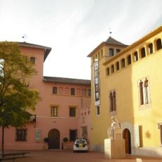
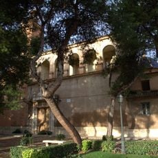
Moncada is a municipality in the Horta Nord region of the Valencian Community, occupying about 15.6 square kilometers of land. It sits at an elevation of 37 meters and is positioned near the Mediterranean coast in eastern Spain.
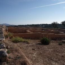
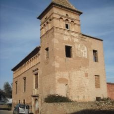
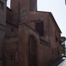
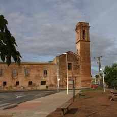
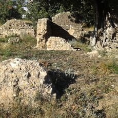
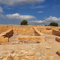
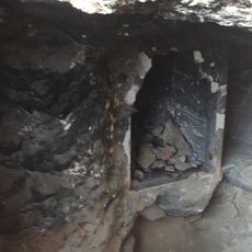
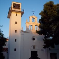
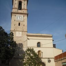
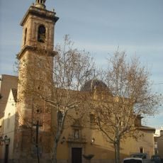
The area contains remnants of Iberian and Roman settlements from ancient times. During the medieval period, an Islamic farmstead with a defensive tower was established here.
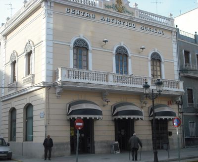
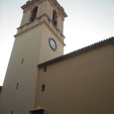
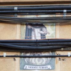
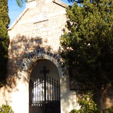
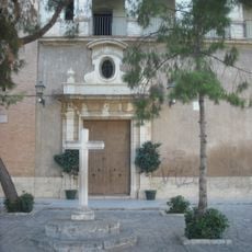
The celebration of patron saints James the Elder and Saint Barbara shapes the community throughout the year with traditional gatherings and events. These occasions bring people together and reflect how locals maintain their customs and sense of belonging.
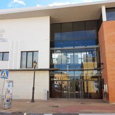
The municipality is well connected to Valencia and surrounding areas through an established public transportation network. Visitors can easily explore the town on foot or use regional transit options to reach nearby communities.
Local residents are known by the distinct names Montcadí or Montcadina, which reflects the Catalan language influence in this Spanish municipality. This demonym reveals how local language and identity remain closely connected.
Location: Horta Nord
Location: Province of Valencia
Capital city: Moncada
Elevation above the sea: 37 m
Shares border with: Valencia, Albalat dels Sorells, Alfara del Patriarca, Bétera, Foios, Museros, Nàquera
Website: http://moncada.es
GPS coordinates: 39.54558,-0.39564
Latest update: December 20, 2025 11:41
Villa Amparo, Rocafort
2.1 km
Poblado ibérico amurallado del Tos Pelat
2.7 km
Casa de la Sirena
1.9 km
Castell dels Cruïlles
881 m
Església de Sant Jaume de Moncada
304 m
Ciutat de la Pilota
1.8 km
Convent of the Franciscan Sisters of the Immaculate
250 m
Casa Gótica
367 mVila Vella
3.3 km
Moncada Municipal Archeological Museum
299 m
Convent de Sant Dídac d'Alfara del Patriarca
941 m
Teatro Antiguo
797 m
Paretetes dels Moros
1.4 km
Església de Sant Sebastià Màrtir de Rocafort
2.2 km
Casa Comuna de la Séquia de Montcada
533 m
Fàbrica de farines
1.4 km
LLoma del Tos Pelat
2.7 km
Casa de Cultura
2.3 km
Les Dos Llometes quarry
919 m
Town Hall of Alfara del Patriarca
878 m
Ceramic panel of Saint Vincent Ferrer
1 km
Església parroquial Sant Isidre
2.4 km
Cemetery and Via Crucis of Massarrojos
1 km
Alqueria del Rellotge
1 km
Església de Santa Maria Magdalena de Benifaraig
2.1 km
Església de l'Assumpció de Massarrojos
1 km
Paretó d'Alfara
1.3 km
Església dels pares agustins de Rocafort
2.2 kmVisited this place? Tap the stars to rate it and share your experience / photos with the community! Try now! You can cancel it anytime.
Discover hidden gems everywhere you go!
From secret cafés to breathtaking viewpoints, skip the crowded tourist spots and find places that match your style. Our app makes it easy with voice search, smart filtering, route optimization, and insider tips from travelers worldwide. Download now for the complete mobile experience.
A unique approach to discovering new places❞
— Le Figaro
All the places worth exploring❞
— France Info
A tailor-made excursion in just a few clicks❞
— 20 Minutes