Ontinyent

Log in to your account

AroundUs is a community-driven map of interesting places, built by curious explorers like you. It grows with every review, story, and photo you share.
Connect to save your favorite spots, contribute locations, and create personalized routes.
Continue with Google
Continue with Apple
Continue with X
Continue with Facebook
Continue with email
By continuing, you accept our Terms and Conditions and our Privacy Policy
Create an account
Add to collection
Map
Suggest a change
Share

Ontinyent, Municipality in Vall d'Albaida, Spain

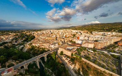
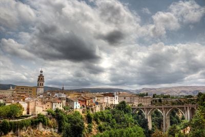
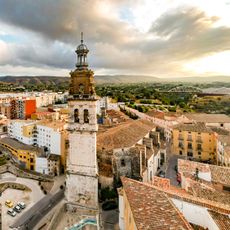
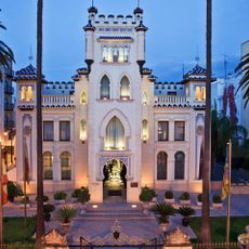
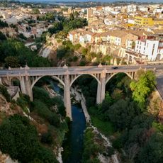
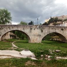
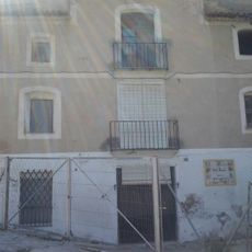
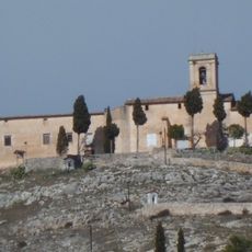
Ontinyent sits at 382 meters (1,250 feet) elevation on the right bank of the Clariano River in Valencia province, ringed by mountains. The town stretches along the riverbed with a compact layout featuring traditional architecture that reflects its layered past.

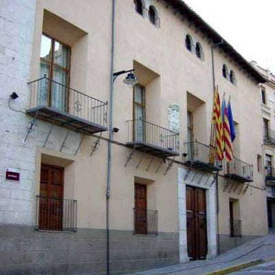
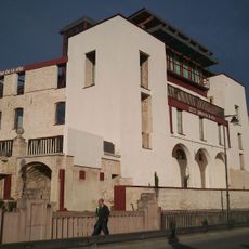
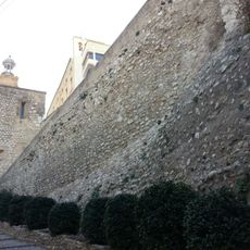
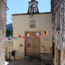
The settlement originated as a Muslim community in the 11th century and was later transformed into a Christian city during the Reconquista. The Church of Santa Maria was built directly on the foundations of a former mosque, marking this cultural transition.

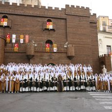
The Moors and Christians festival each August fills the streets with traditional parades and costumes that reflect the town's medieval past. Locals actively participate in these processions, keeping alive the memory of this pivotal period.

The town is well connected to Valencia and Alicante through regular train and bus services, making it easy to reach. The Monday market brings locals together to browse and buy fresh regional products, offering a genuine look at daily community life.

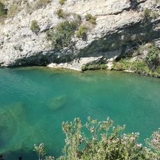
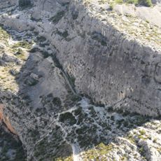
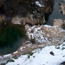
Pou Clar is a series of natural pools carved into the riverbed of the Clariano over countless centuries, forming deep basins perfect for swimming. These rock formations offer a refreshing escape during hot weather, shaped entirely by water erosion rather than human intervention.

Location: Vall d'Albaida

Location: Province of Valencia

Capital city: Ontinyent

Elevation above the sea: 382 m

Shares border with: Aielo de Malferit, Bocairent, Alfafara, Banyeres de Mariola, Vallada, Agullent, Moixent

Website: http://ontinyent.es

GPS coordinates: 38.82222,-0.60722

Latest update: December 17, 2025 08:24

Photos
Reviews

Visited this place? Tap the stars to rate it and share your experience / photos with the community! Try now! You can cancel it anytime.

« Ontinyent - Municipality in Vall d'Albaida, Spain » is provided by Around Us (aroundus.com). Images and texts are derived from Wikimedia project under a Creative Commons license. You are allowed to copy, distribute, and modify copies of this page, under the conditions set by the license, as long as this note is clearly visible.

Discover hidden gems everywhere you go!

From secret cafés to breathtaking viewpoints, skip the crowded tourist spots and find places that match your style. Our app makes it easy with voice search, smart filtering, route optimization, and insider tips from travelers worldwide. Download now for the complete mobile experience.

Around Us App Screenshot

A unique approach to discovering new places

Le Figaro

All the places worth exploring

France Info

A tailor-made excursion in just a few clicks

20 Minutes