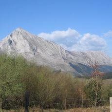
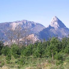
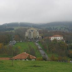
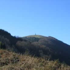
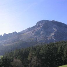
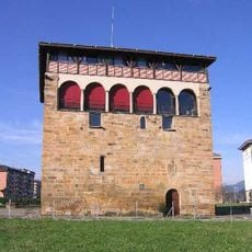
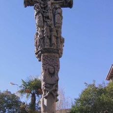
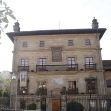
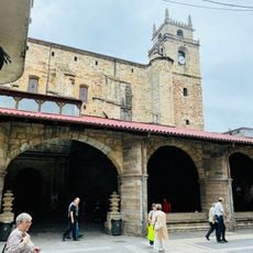
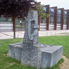
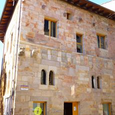
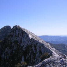
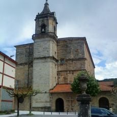
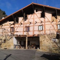
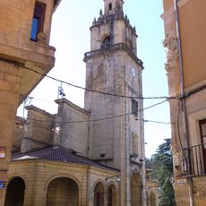
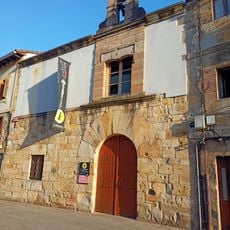
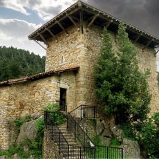
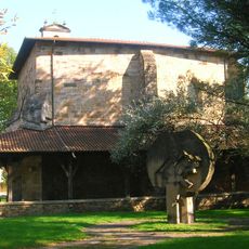
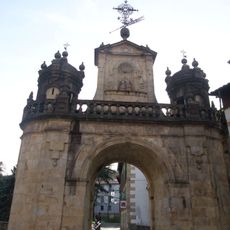
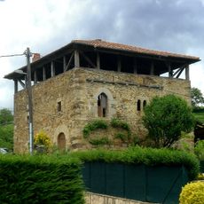
Abadiño, municipality of Spain
Location: Durangaldea
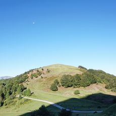
Elevation above the sea: 144 m
Part of: Mancomunitat de la Merindad de Durango
Shares border with: Atxondo, Berriz, Durango, Elorrio, Iurreta, Izurtza, Garai, Biscay, Aramaio, Otxandio, Dima, Mañaria
Website: http://abadiano.org
GPS coordinates: 43.15250,-2.60750
Latest update: March 3, 2025 22:58
Anboto
7.2 km
Urkiola Natural Park
6.2 km
Urkiola Sanctuary
6.6 km
Mikeldi idol
3.2 km
Saibi
7.7 km
Untxillaitz
4.1 km
Muntsaratz Tower
1 km
Urkiolamendi
6.9 km
Kurutziagako gurutzea
2.5 km
Museo de Arte e Historia de Durango
2.7 km
Church of Santa María de Uribarri, Durango
2.6 km
Memorial to homosexuals persecuted under Francoist
2.7 km
Cueva de Askondo
5.5 km
Lariz Dorrea
2.5 km
Elgoin
6.8 km
Church of San Trokaz, Abadiño
103 m
Isuntza Goikoa baserria
2.4 km
Church of Santa Ana, Durango
2.4 km
Kurutzesantu Museum
2.4 km
Andragunea
2.5 km
Church of San Miguel, Iurreta
3.3 km
EITB Iurreta
4.2 km
Plateruena kafe antzokia
2.9 km
Arana Jauregia, Izurtza
2.7 km
Etxaburu tower
3.8 km
Saint Peter's Church in Tabira
2.6 km
Conjunto monumental de Durango
2.6 km
Izurtza dorretxea
2.6 kmReviews
Visited this place? Tap the stars to rate it and share your experience / photos with the community! Try now! You can cancel it anytime.
Discover hidden gems everywhere you go!
From secret cafés to breathtaking viewpoints, skip the crowded tourist spots and find places that match your style. Our app makes it easy with voice search, smart filtering, route optimization, and insider tips from travelers worldwide. Download now for the complete mobile experience.
A unique approach to discovering new places❞
— Le Figaro
All the places worth exploring❞
— France Info
A tailor-made excursion in just a few clicks❞
— 20 Minutes