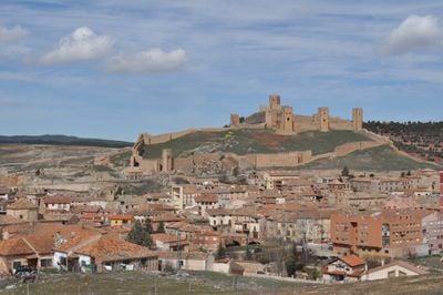
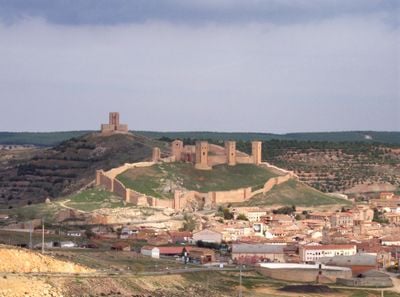
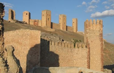
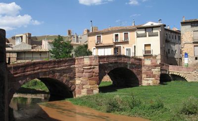
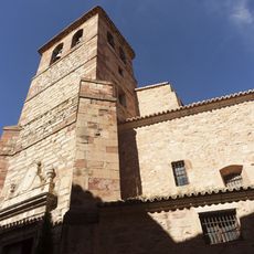
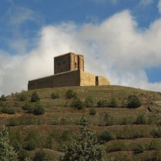
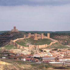
Molina de Aragón, Medieval fortress town in Guadalajara Province, Spain.
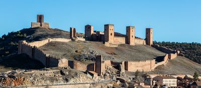
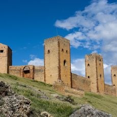
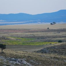
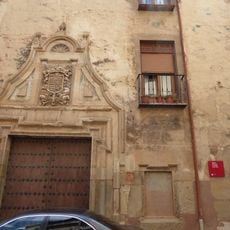
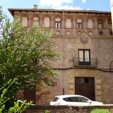
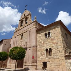
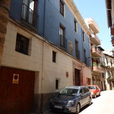
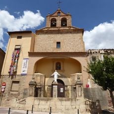
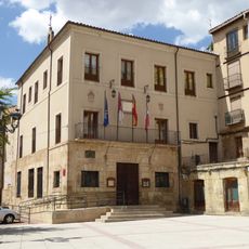
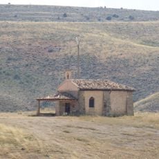
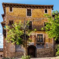
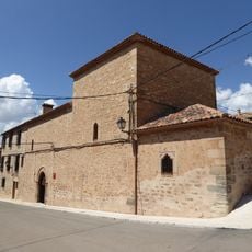
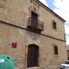
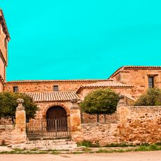
Molina de Aragón is a town in Guadalajara Province situated on a plateau at about 1065 meters elevation, surrounded by forests and river valleys of the Alto Tajo Nature Reserve. The settlement occupies an area of roughly 168 square kilometers and is characterized by the old town with its medieval fortress at its heart.
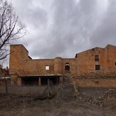
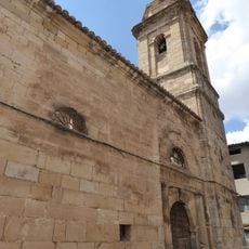
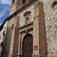
The town was the center of an independent Moorish state from the 11th century until 1129, when King Alfonso I of Aragón conquered it during the Christian reconquest. After this conquest, it became an important border fortress between Christian and Moorish territories.
The town is experienced by visitors as a place where local traditions remain visible in how the community gathers for seasonal celebrations featuring regional music, dance, and food. These events show how people here maintain connection to their landscape and heritage.
The town is well connected by road to major Spanish cities, with Madrid about 161 kilometers away, Barcelona 345 kilometers away, and Valencia 199 kilometers away. The best time to visit is during warmer months, as winters there are very cold and the area is often covered with snow.
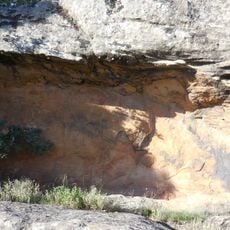
The area is known for recording Spain's lowest temperature of -28.2°C, revealing just how extreme weather can become at this high elevation. The mineral aragonite was first discovered here and took its name from this location.
The community of curious travelers
AroundUs brings together thousands of curated places, local tips, and hidden gems, enriched daily by 60,000 contributors worldwide.