Enable Location

We need your location to show you interesting places around you

Discover nearby places

Find interesting locations and hidden gems around you

Precise directions

Get accurate directions and distances to places

Your location is never shared with other users. It's only used when you tap the location button.

Chantada

Log in to your account

Start exploring — it's free

Trusted by 65,085 travelers worldwide

Continue with Google
Continue with Apple
or

We will send you a code to connect

By continuing, you accept our Terms and Conditions and our Privacy Policy

Check your inbox

We've sent a pincode in your inbox. Please enter the code below.

Discussion Reviews 2 Photos
21.4k Popularity

Chantada, Spanish municipality in the province of Lugo, Galicia

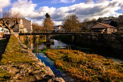
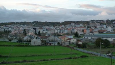
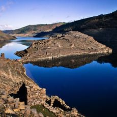
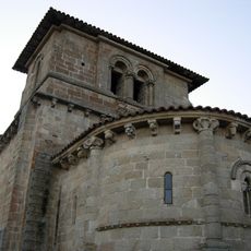
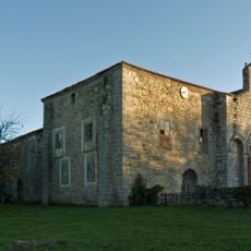
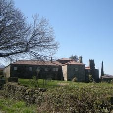
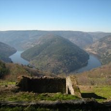
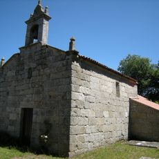
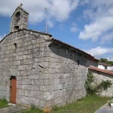
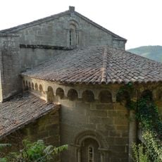
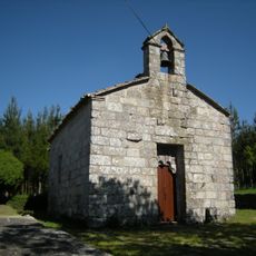
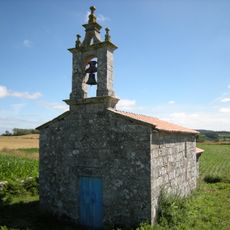
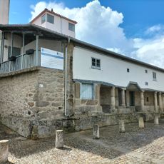
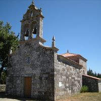
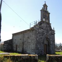
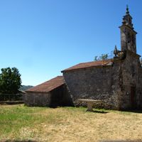
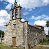
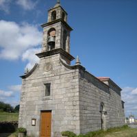
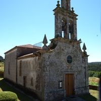
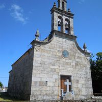
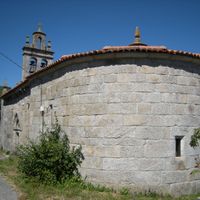
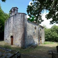
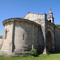
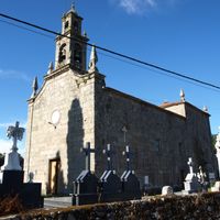
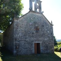
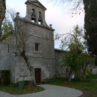
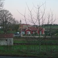
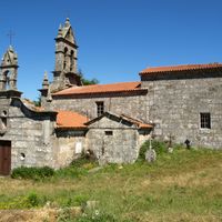
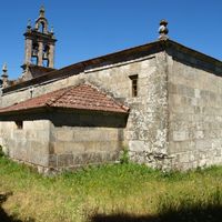
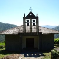
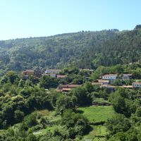
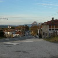
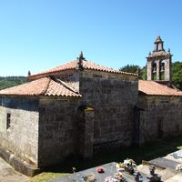
Chantada is a municipality in Lugo Province, in the autonomous community of Galicia in northwestern Spain. The territory is made up of hills, farmland, patches of forest, and small scattered settlements connected by rural roads.

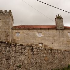
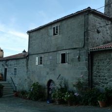
The area developed over centuries as a farming community shaped by agriculture and livestock raising in the hills of Galicia. This rural foundation has defined the layout of the settlements and the way the land is organized to this day.

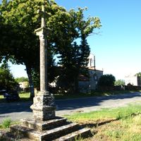
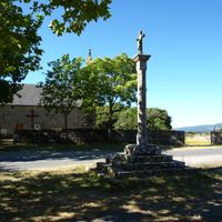
The name Chantada comes from Galician and refers to the hilly terrain of the region. Settlements here are scattered across the countryside, with small village cores surrounded by agricultural fields and forests, reflecting how rural Galician communities organize themselves around the landscape.

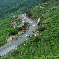
A car is the most practical way to get around, since villages are spread out and public transport is limited. Those who prefer walking will find rural paths crossing the fields and hills, which work well outside the wettest months.

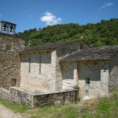
The area has a notable number of stone granaries called hórreos, built on raised pillars to keep grain away from moisture and animals. These structures are found across Galicia but are especially visible here along field edges and near farmhouses.

The community of curious travelers

AroundUs brings together thousands of curated places, local tips, and hidden gems, enriched daily by 60,000 contributors worldwide.

Start exploring
Location
Capital city
Chantada
Elevation above the sea
36 m
Shares border with
Taboada, Carballedo, O Saviñao, Rodeiro, Pantón
GPS coordinates
42.60833,-7.76889
Latest update
March 3, 2026 08:22
Reviews
Share your experience

No review yet

Discussions
Start a discussion...

No discussion yet

« Chantada - Spanish municipality in the province of Lugo, Galicia » is provided by Around Us (aroundus.com). Images and texts are derived from Wikimedia project under a Creative Commons license. You are allowed to copy, distribute, and modify copies of this page, under the conditions set by the license, as long as this note is clearly visible.

Discover hidden gems everywhere you go!

From secret cafés to breathtaking viewpoints, skip the crowded tourist spots and find places that match your style. Our app makes it easy with voice search, smart filtering, route optimization, and insider tips from travelers worldwide. Download now for the complete mobile experience.

Around Us App Screenshot

A unique approach to discovering new places

Le Figaro

All the places worth exploring

France Info

A tailor-made excursion in just a few clicks

20 Minutes

Around Us
Travel Guide & Maps
Download

Send to your phone

QR Code
1

Open the camera app on your mobile.

2

Point at the QR code with your camera. A notification will appear.

3

Tap the notification to open the link.