Benavente, Administrative municipality in Zamora Province, Spain
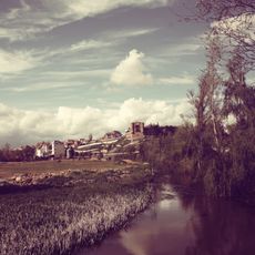
Benavente is an administrative municipality in Zamora Province that spreads over gentle hills above the Órbigo River valley, overlooking farmland and distant ridges. The town center clusters around stone buildings with pitched roofs, while outlying hamlets dot the countryside connected by narrow roads lined with poplars.
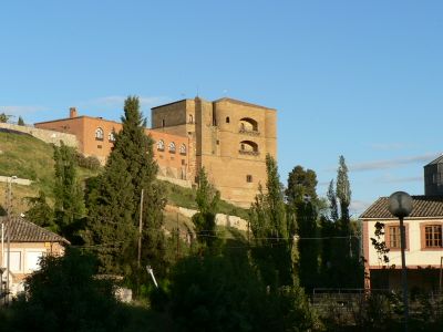
King Ferdinand II of León refounded the settlement in 1164 and granted it special privileges to attract settlers from surrounding regions. The location served as a stopping point on pilgrimage and trade routes between Castile and Galicia, helping the town develop over the following centuries.
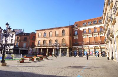
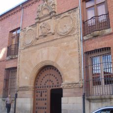
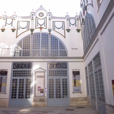
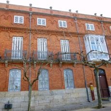
The Plaza Mayor forms the heart of local activities, bordered by the Town Hall and traditional buildings that represent the architectural heritage of Castile and León.
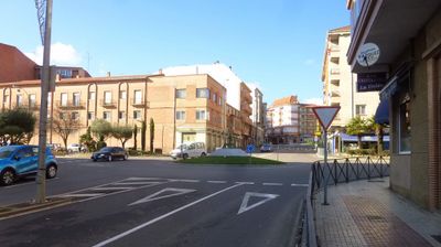
The highway junction links three main roads, making it straightforward to reach from Madrid, Galicia, or Asturias. Visitors find parking around the old center and can walk through the core area in about twenty minutes, following signs posted at main corners.
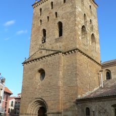
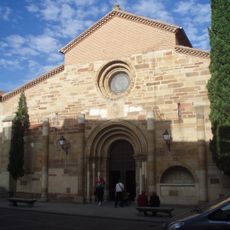
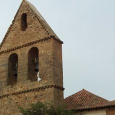
Two Romanesque churches from the 12th century stand just a few streets apart, each showing different building techniques from that era. Both preserve stone doorways carved with figures depicting biblical scenes and everyday medieval life.
The community of curious travelers
AroundUs brings together thousands of curated places, local tips, and hidden gems, enriched daily by 60,000 contributors worldwide.