Cazalla de la Sierra

Log in to your account

AroundUs is a community-driven map of interesting places, built by curious explorers like you. It grows with every review, story, and photo you share.
Connect to save your favorite spots, contribute locations, and create personalized routes.
Continue with Google
Continue with Apple
Continue with X
Continue with Facebook
Continue with email
By continuing, you accept our Terms and Conditions and our Privacy Policy
Create an account
Add to collection
Map
Suggest a change
Share

Cazalla de la Sierra, Mountain municipality in Sierra Norte Natural Park, Spain

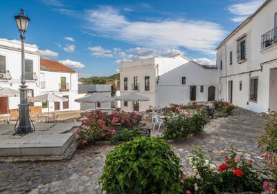
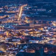
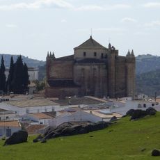
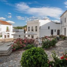
Cazalla de la Sierra is a mountain town nestled in the Sierra Norte Natural Park in Seville Province, situated at an elevation of around 595 meters in the northern section. The settlement features religious buildings and natural surroundings.

Human settlement in this area dates back to prehistoric times, as shown by archaeological finds near streams like Viar, Benalija, and Hueznar. These discoveries of ceramics and stone tools reveal the long history of habitation in the region.

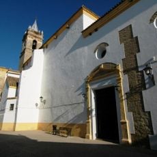
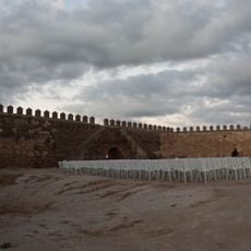
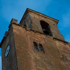
The Monastery of Cartuja and the Parish Church of Nuestra Señora de la Consolación stand out with their blend of religious and defensive architectural styles typical of this region. These buildings shape how the place looks and feels when you walk through the town.

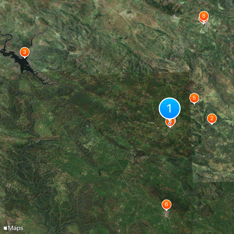
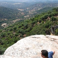
The town maintains a network of marked hiking trails through the Sierra Norte Natural Park that connect different points of natural and historical interest. These paths allow visitors to explore the landscape and landmarks at their own pace.

The town is known for producing traditional aniseed liqueur and cherry brandy using methods preserved since the late 1800s. The distillery El Clavel exemplifies this craft tradition that has shaped the place.

Location: Seville Province

Capital city: Cazalla de la Sierra

Elevation above the sea: 595 m

Part of: districte notarial de Cazalla de la Sierra, Mancomunidad de Municipios Sierra Morena de Sevilla, Sierra Norte de Sevilla

Shares border with: Alanís, Almadén de la Plata, San Nicolás del Puerto, Constantina, El Pedroso, El Real de la Jara, Monesterio, Fuente del Arco, Guadalcanal

Website: http://cazalladelasierra.es

GPS coordinates: 37.93202,-5.75963

Latest update: December 13, 2025 23:07

Photos
Hidden sites in Andalusia: troglodyte villages, medieval castles, and natural parks

Andalusia offers many sites away from typical tourist routes. This southern region of Spain is home to ancient troglodyte dwellings in Guadix, mountain villages like Zahara de la Sierra perched around medieval castles, and natural parks such as Cabo de Gata-Níjar extending over 50 kilometers of...

Reviews

Visited this place? Tap the stars to rate it and share your experience / photos with the community! Try now! You can cancel it anytime.

« Cazalla de la Sierra - Mountain municipality in Sierra Norte Natural Park, Spain » is provided by Around Us (aroundus.com). Images and texts are derived from Wikimedia project under a Creative Commons license. You are allowed to copy, distribute, and modify copies of this page, under the conditions set by the license, as long as this note is clearly visible.

Discover hidden gems everywhere you go!

From secret cafés to breathtaking viewpoints, skip the crowded tourist spots and find places that match your style. Our app makes it easy with voice search, smart filtering, route optimization, and insider tips from travelers worldwide. Download now for the complete mobile experience.

Around Us App Screenshot

A unique approach to discovering new places

Le Figaro

All the places worth exploring

France Info

A tailor-made excursion in just a few clicks

20 Minutes