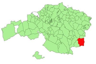
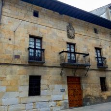
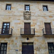
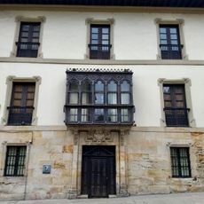
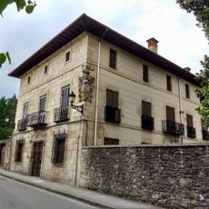
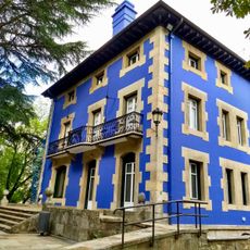
Elorrio, municipality of Spain
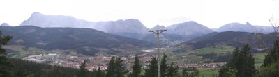
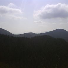
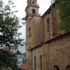
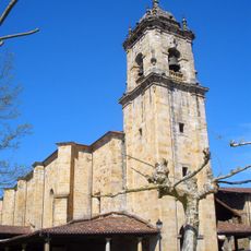
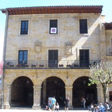
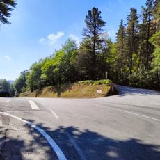
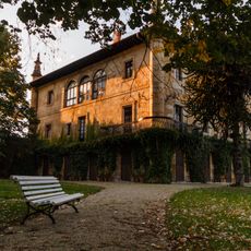
Elorrio is a municipality in Durangaldea, a region in the Basque Country characterized by green valleys and rolling hills. The settlement spreads across hilly terrain with small villages and pastures, where buildings fit naturally into the surrounding landscape.
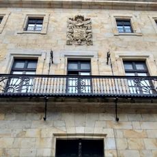
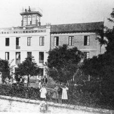
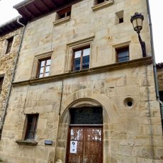
Elorrio was founded as a small rural community and has been part of the Basque Country for centuries. The place developed on the basis of agriculture and cattle raising, with these traditions shaping the local economy and landscape to this day.
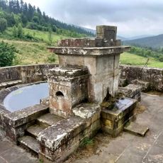
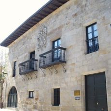
Elorrio takes its name from Basque words meaning "swamps", reflecting the area's original landscape. The settlement shows this deep connection to the land in how it sits within the valleys and how locals relate to the surrounding nature.
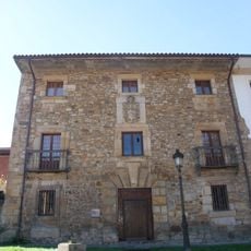
The place is well reached via roads from neighboring larger towns and offers a good base for exploring the rural surroundings. The best time to visit is during the warmer months, when the paths and landscapes are most accessible.
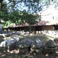
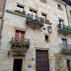
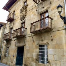
Elorrio is less known than other Basque municipalities, but offers an authentic view of the region's rural life. Those who come here find fewer tourist amenities, yet a genuine connection to local culture and nature.
The community of curious travelers
AroundUs brings together thousands of curated places, local tips, and hidden gems, enriched daily by 60,000 contributors worldwide.