
Touro, A Coruña, municipality of Spain
Location: A Coruña Province
Elevation above the sea: 500 m
Part of: intermunicipal commonwealth of the Santiago de Compostela area
Shares border with: Boqueixón, O Pino, Arzúa, Vila de Cruces
Website: http://concellodetouro.com/index.php/gl
GPS coordinates: 42.86667,-8.28333
Latest update: March 17, 2025 17:20
Monastery of Carboeiro
12.8 km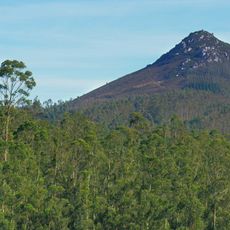
Pico Sacro
14.9 km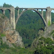
Ponte de Gundián
12.8 km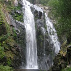
Fervenza do Toxa
12.3 km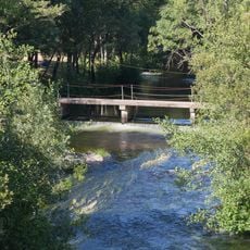
Islas de Gres
9.1 km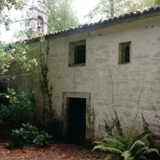
Pazo do Picón
6.9 km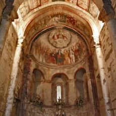
Church of San Salvador de Camanzo
8.6 km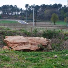
A Chousa Nova
12.3 km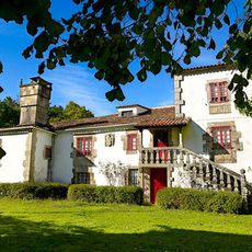
Pazo de Lobagueiras
8.2 km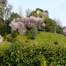
Tower of Cira
11.6 km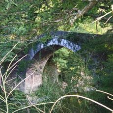
Ponte do Demo
12.8 km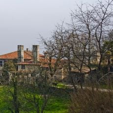
Pazo de Paizás
12.2 km
CPI Camiño de Santiago
8.2 km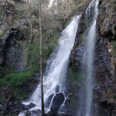
Fervenza das Hortas
5.8 km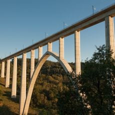
Ulla River Viaduct
12.9 km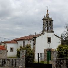
Church of San Miguel de Pereira
10 km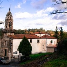
Church of Santa María de Gonzar, O Pino
9.8 km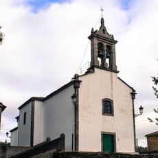
Church of San Vicenzo do Pino
8.9 km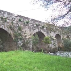
Ledesma bridge
9.2 km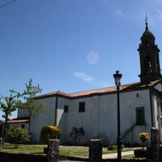
Church of Santaia de Arca
7.6 km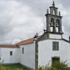
Iglesia de San Julián
3.3 km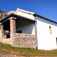
Church of San Sebastián do Pico Sacro
14.9 km
Hórreo y crucero
7.6 km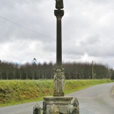
Crucero de Ferreiros
5.7 km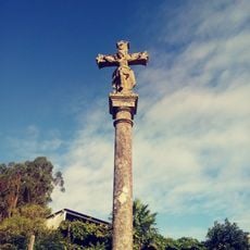
Wayside crosses in Pereira
10.1 km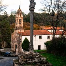
Wayside cross in Gonzar
9.8 km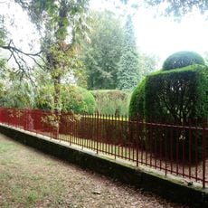
Garden of Pazo do Picón
6.9 km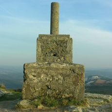
Pico Sacro
14.9 kmVisited this place? Tap the stars to rate it and share your experience / photos with the community! Try now! You can cancel it anytime.
Discover hidden gems everywhere you go!
From secret cafés to breathtaking viewpoints, skip the crowded tourist spots and find places that match your style. Our app makes it easy with voice search, smart filtering, route optimization, and insider tips from travelers worldwide. Download now for the complete mobile experience.

A unique approach to discovering new places❞
— Le Figaro
All the places worth exploring❞
— France Info
A tailor-made excursion in just a few clicks❞
— 20 Minutes