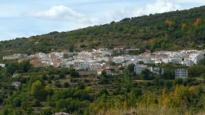
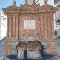
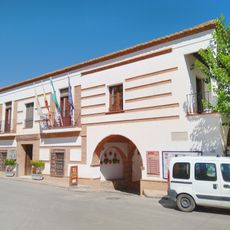
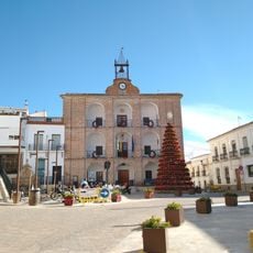
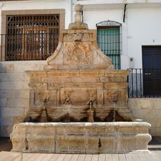
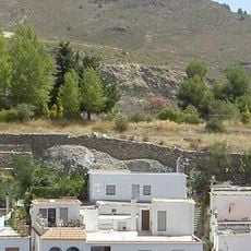
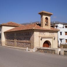
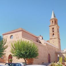
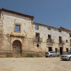
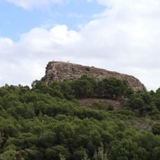
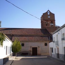
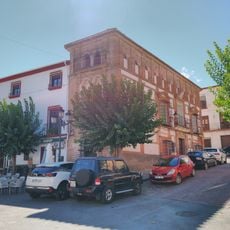
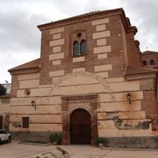
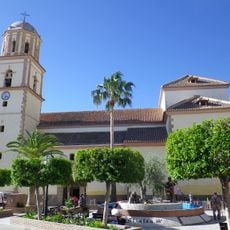
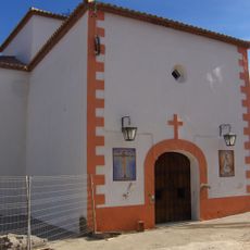
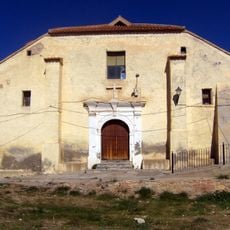
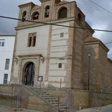
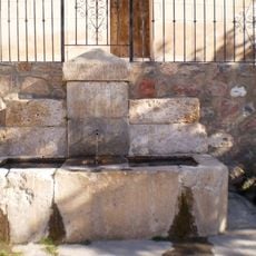
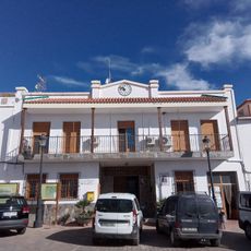
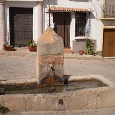
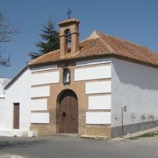
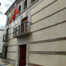
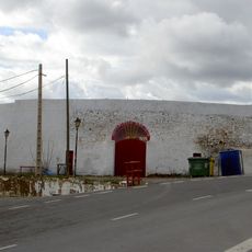
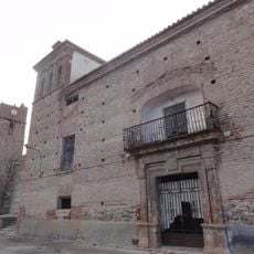
Bayárcal, municipality of Spain
The community of curious travelers
AroundUs brings together thousands of curated places, local tips, and hidden gems, enriched daily by 60,000 contributors worldwide.
Location
Capital city
Bayárcal
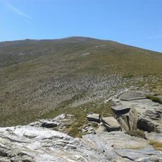
Elevation above the sea
1,258 m
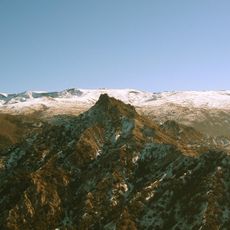
Part of
Notarial District of Almería, Alpujarra Almeriense
Shares border with
Alcolea, Nevada, Ferreira, Dólar, Huéneja, Paterna del Río
GPS coordinates
37.03011,-2.99534
Latest update
March 12, 2025 20:12