
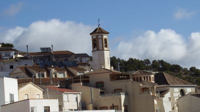
Lúcar, municipality of Spain
Location: Almería Province
Capital city: Lúcar
Elevation above the sea: 895 m
Part of: districte notarial d'Huércal-Overadi, Mancomunitat de Municipis del Valle del Almanzora, Valle del Almanzora
Shares border with: Oria, Somontín, Purchena, Armuña de Almanzora, Tíjola, Cúllar
GPS coordinates: 37.40093,-2.42415
Latest update: March 3, 2025 06:40
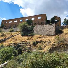
Poblado minero de Las Menas
15.2 km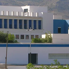
Museo Casa Ibáñez
11.7 km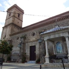
Iglesia de San Ginés de la Jara
8.1 km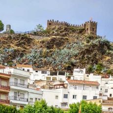
Castillo (Sierro)
9.1 km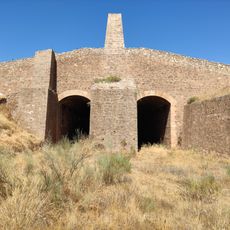
Cargadero de mineral del Ferrocarril Lorca-Baza
8.7 km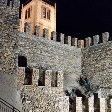
Castillo de Serón
10 km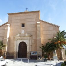
Iglesia de Nuestra Señora de la Anunciación
9.9 km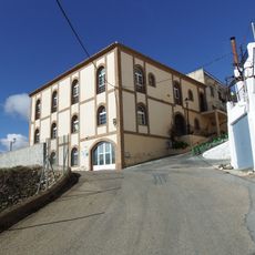
Biblioteca Pública Municipal de Lúcar
295 m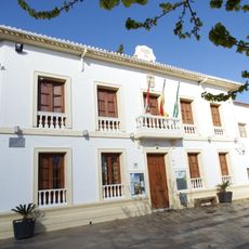
Town Hall of Serón
9.8 km
Alcazaba
8 km
Casa consistorial de Lúcar
10 m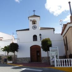
Iglesia Parroquial de Nuestra Señora del Rosario
5.8 km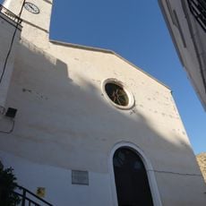
Iglesia Parroquial
9.1 km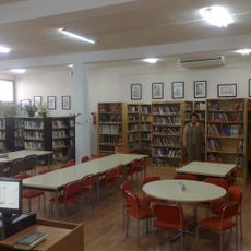
Biblioteca Pública Municipal de Tíjola
6.2 km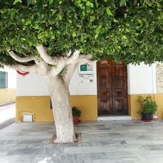
Biblioteca Pública Municipal de Purchena - Gustavo Villapalos
8.1 km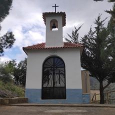
Ermita de San Isidro
9.4 km
Biblioteca municipal, Oria
15.2 km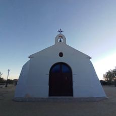
Ermita de San Gregorio
14.2 km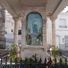
Templete de la Virgen del Carmen chica
8.1 km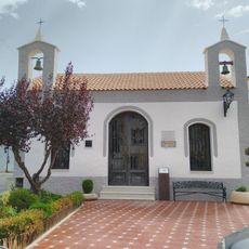
Ermita de San Sebastián
234 m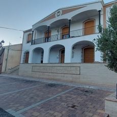
Town Hall of Oria
14.8 km
Casa de la Tercia, Oria
14.8 km
La Cerrá de Urrácal
8.8 km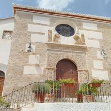
Iglesia de Santa María
65 m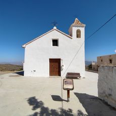
Ermita de la Loma
15.7 km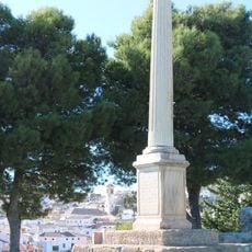
La Santa
232 m
Centro Pérez Siquier
11.7 km
Molino harinero
10.1 kmVisited this place? Tap the stars to rate it and share your experience / photos with the community! Try now! You can cancel it anytime.
Discover hidden gems everywhere you go!
From secret cafés to breathtaking viewpoints, skip the crowded tourist spots and find places that match your style. Our app makes it easy with voice search, smart filtering, route optimization, and insider tips from travelers worldwide. Download now for the complete mobile experience.

A unique approach to discovering new places❞
— Le Figaro
All the places worth exploring❞
— France Info
A tailor-made excursion in just a few clicks❞
— 20 Minutes