
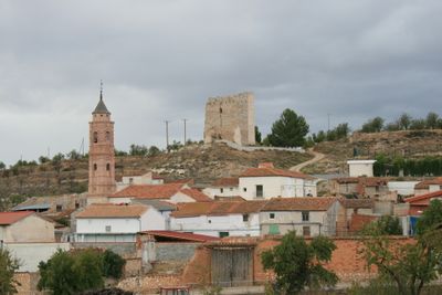
Ruesca, human settlement in Zaragoza Province, Aragon, Spain
Location: Zaragoza Province
Capital city: locality of Ruesca
Elevation above the sea: 764 m
Part of: Mancomunitat «Sierra Vicort-Espigar»
Shares border with: Orera, Codos, Miedes de Aragón, Mara, Aragon
GPS coordinates: 41.28252,-1.48168
Latest update: March 8, 2025 01:57
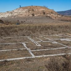
Segeda
3.6 km
Murero paleontological sites
12.8 km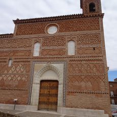
Iglesia de Santa María
9.2 km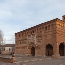
Iglesia de San Martín de Tours (Morata de Jiloca)
9.6 km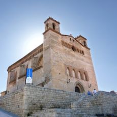
Iglesia de las Santas Justa y Rufina
11.1 km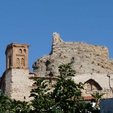
Castle of Maluenda
11.2 km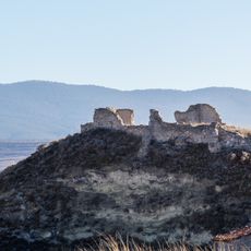
Castle of Belmonte de Gracián
5.8 km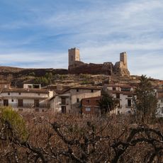
Castle of Villafeliche
10 km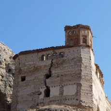
St. Michael's Church
11.3 km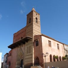
Iglesia de Santa María
11.4 km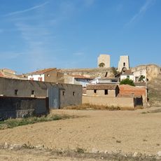
Castillo de Langa
10.2 km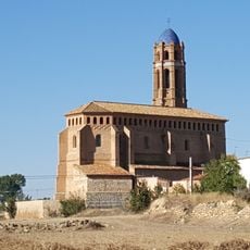
Iglesia de Santa Ana
18.1 km
Castle-palace of Belmonte de Gracian
5.6 km
Castle of Morata de Jiloca
9.6 km
Castle of Fuentes de jiloca
7.5 km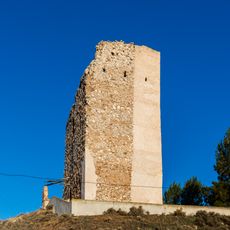
Tower of Ruesca
3 m
Tower of the hermitage of Our Lady of the Castle, Belmonte de Gracián
5.8 km
Church of San Gil, Huérmeda
14.4 km
Torre Albarrana, Maluenda
11.5 km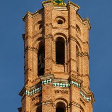
Church of the Assumption
7.6 km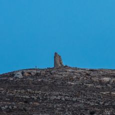
La Torrecilla, Maluenda
8.8 km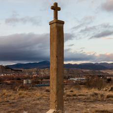
Via crucis
14.5 km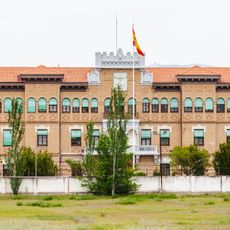
“Barón de Warsage” Barracks
14.7 km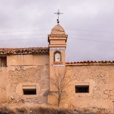
Wayside cross of Mary's Heart
14.2 km
Wayside cross of Saint Vicente, Fuentes de Jiloca
7.9 km
Wayside cross of the Virgin of Carmen
10.1 km
Wall of Montón
8.9 km
Valdemadera
12.6 kmReviews
Visited this place? Tap the stars to rate it and share your experience / photos with the community! Try now! You can cancel it anytime.
Discover hidden gems everywhere you go!
From secret cafés to breathtaking viewpoints, skip the crowded tourist spots and find places that match your style. Our app makes it easy with voice search, smart filtering, route optimization, and insider tips from travelers worldwide. Download now for the complete mobile experience.

A unique approach to discovering new places❞
— Le Figaro
All the places worth exploring❞
— France Info
A tailor-made excursion in just a few clicks❞
— 20 Minutes