
Villa del Rey, municipality of Spain
Location: Cáceres Province
Capital city: Villa del Rey
Elevation above the sea: 336 m
Part of: Mancomunitat Tajo-Salor
Shares border with: Alcántara, Mata de Alcántara, Brozas
GPS coordinates: 39.65948,-6.82109
Latest update: April 8, 2025 07:59
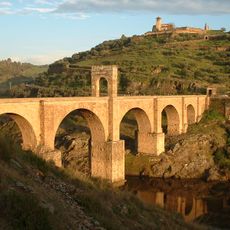
Alcántara Bridge
9.3 km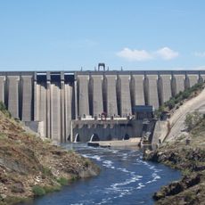
Alcántara dam
9.6 km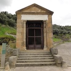
Roman temple of Alcántara
9.2 km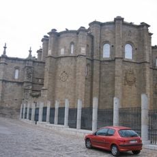
San Benito de Alcántara
8.7 km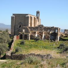
Convento de San Antonio de Padua
23.3 km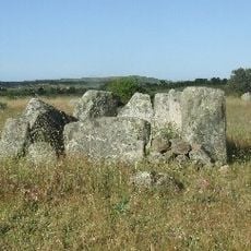
Dólmenes de Alcántara
8.1 km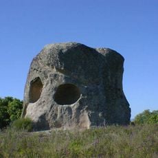
Peña Buraca
17.9 km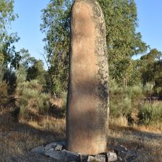
Menhir del Cabezo
13.5 km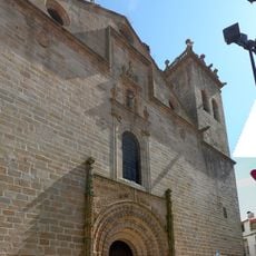
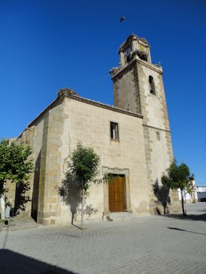
Church of Santa María la Mayor
6.4 km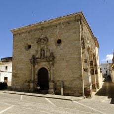
Iglesia de San Pedro de Alcántara, Alcántara
8.9 km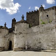
Castillo de Brozas
6.4 km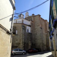
Iglesia de Santa María de la Consolación, Garrovillas de Alconétar
23.9 km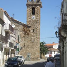
Iglesia de Nuestra Señora de la O
15.2 km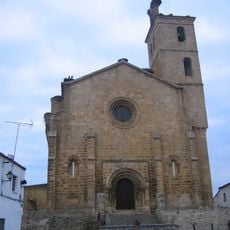
Church of Santa María de Almocóvar, Alcántara
8.9 km
Ermita de Nuestra Señora de los Hitos
5.7 km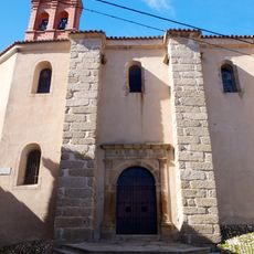
Convento de Monjas Jerónimas, Garrovillas de Alconétar
23.9 km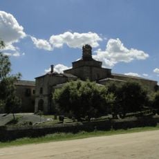
Convento de Nuestra Señora de la Luz
6.6 km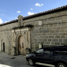
Convento de las Comendadoras de Alcántara
6.4 km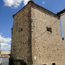
Convento de la Encarnación
6.7 km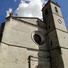
Iglesia de los Santos Mártires San Fabián y San Sebastián
6.6 km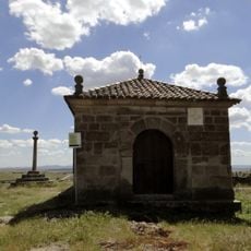
Ermita de la Soledad, Brozas
6.2 km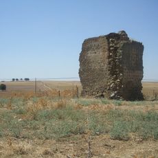
Torre de Belvís
3.1 km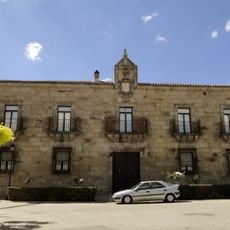
Palacio de los Condes de la Encina
6.3 km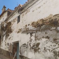
Ermita de Nuestra Señora de las Angustias
8.6 km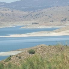
Alcántara Reservoir
9.6 km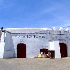
Alcántara bullring
8.2 km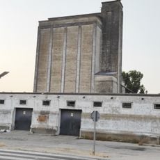
Silo of Brozas
5.9 km
Palace of the Topete-Escobar, Alcántara
8.7 kmVisited this place? Tap the stars to rate it and share your experience / photos with the community! Try now! You can cancel it anytime.
Discover hidden gems everywhere you go!
From secret cafés to breathtaking viewpoints, skip the crowded tourist spots and find places that match your style. Our app makes it easy with voice search, smart filtering, route optimization, and insider tips from travelers worldwide. Download now for the complete mobile experience.

A unique approach to discovering new places❞
— Le Figaro
All the places worth exploring❞
— France Info
A tailor-made excursion in just a few clicks❞
— 20 Minutes