
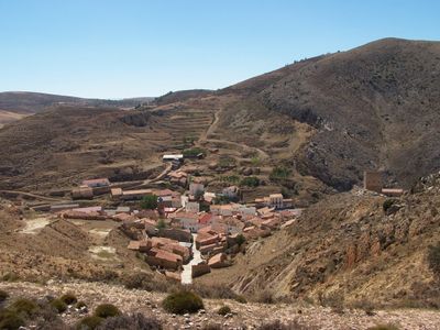
Bueña, municipality of Spain
Location: Teruel Province
Capital city: Bueña
Elevation above the sea: 1,213 m
Shares border with: Aguatón, Singra, Villafranca del Campo, Monreal del Campo, Rubielos de la Cérida, Argente
Website: http://buena.es
GPS coordinates: 40.70849,-1.26723
Latest update: March 17, 2025 03:18
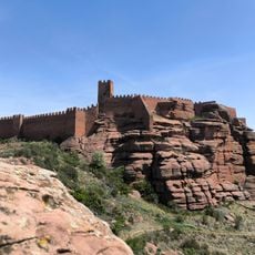
Castle of Peracense
19.6 km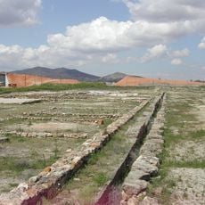
Yacimiento de La Caridad
16.2 km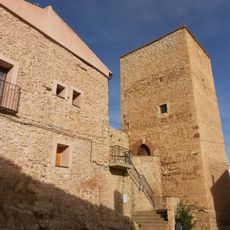
Castle of Ojos Negros
19.8 km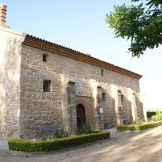
Ermita de la Virgen de los Navarros
16.8 km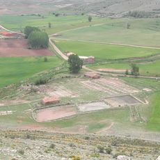
Salinas de Ojos Negros
22.4 km
VHF omnidirectional range and Weather Observatory Calamocha VOR
17.7 km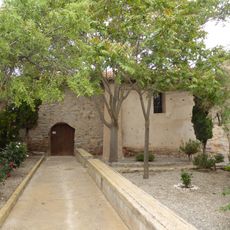
Ermita de la Virgen del Consuelo, Camañas
13.1 km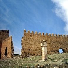
El Castillejo
11.9 km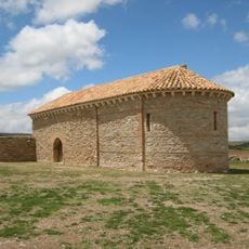
Hermitage of Santa Quiteria
7.1 km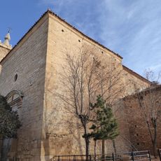
Iglesia de San Pedro Apóstol
21.6 km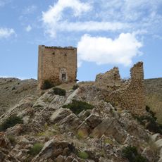
Castillo de Bueña
107 m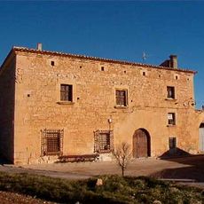
Casa Grande
21.7 km
Castle of Camañas
13 km
Castle of Visiedo
14.6 km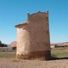
Dovecote (Fuentes Claras)
17.6 km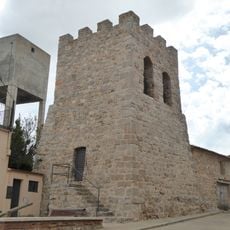
Torre de Argente
9.1 km
Ermita de la Virgen del Campo
11.4 km
Casa Grande
17.9 km
Church of La Inmaculada, Santa Eulalia del Campo
16.5 km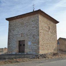
Ermita de San Pascual Bailón, Blancas
21.2 km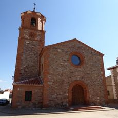
Iglesia de San Pedro, Visiedo
14.5 km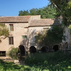
Molino de Fuentes Claras
18.3 km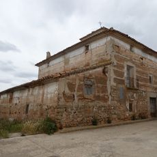
Casa-palacio en calle Obispo Molina 2, Camañas
13.2 km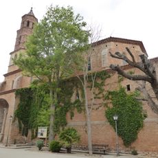
Iglesia de la Asunción, Camañas
13.1 km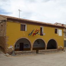
Town Hall of Camañas
13.1 km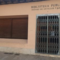
Biblioteca Pública Municipal de Santa Eulalia - Isidoro de Antillón y Marzo
16.4 km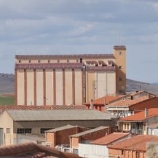
Silo of Monreal del Campo
12.3 km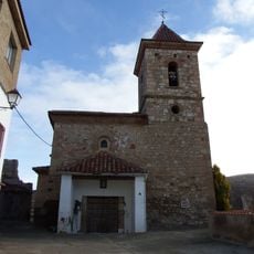
Iglesia del Salvador
5 kmVisited this place? Tap the stars to rate it and share your experience / photos with the community! Try now! You can cancel it anytime.
Discover hidden gems everywhere you go!
From secret cafés to breathtaking viewpoints, skip the crowded tourist spots and find places that match your style. Our app makes it easy with voice search, smart filtering, route optimization, and insider tips from travelers worldwide. Download now for the complete mobile experience.

A unique approach to discovering new places❞
— Le Figaro
All the places worth exploring❞
— France Info
A tailor-made excursion in just a few clicks❞
— 20 Minutes