Sierra de Grazalema Natural Park, Natural park in Cádiz and Málaga provinces, Spain
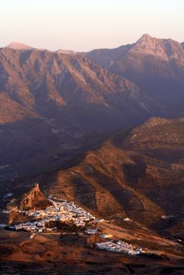
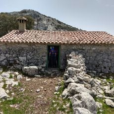
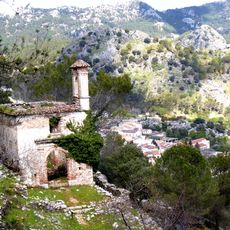
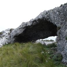
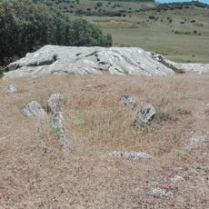
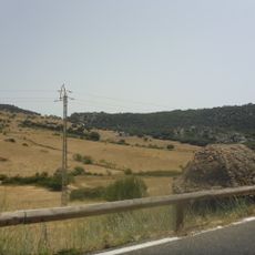
Sierra de Grazalema Natural Park is a protected area in Cádiz and Málaga provinces covering 51,695 hectares of limestone mountains with deep gorges, caves, and Mediterranean forests. The terrain rises from gentle valleys to rugged peaks, with rock formations alternating between dense oak woodlands and open grazing areas.
The region received recognition as a UNESCO Biosphere Reserve in 1977 and was formally declared a natural park on February 12, 1985. For centuries, smugglers and traders crossed the mountain passes between the coasts, while charcoal burners worked the forests for fuel production.
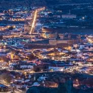
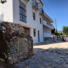
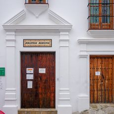
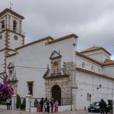
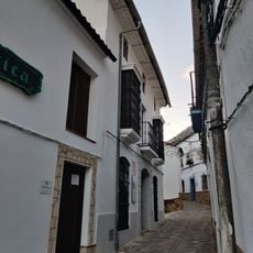
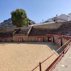
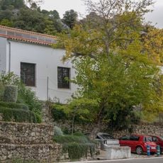
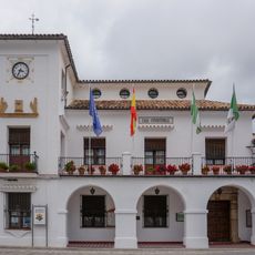
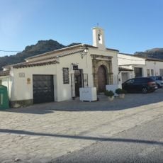
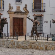
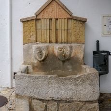
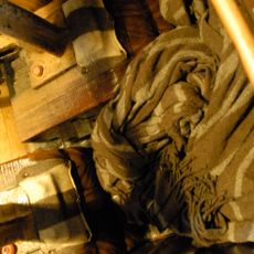
The white-washed villages within the reserve preserve handcraft traditions such as weaving wool blankets and producing leather goods following old methods. Visitors often see shepherds with their goat herds on mountain pastures or meet locals during the olive harvest along the terraced slopes.
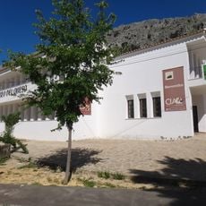
Visitor centers and museums provide information on hiking trails and conservation regulations, with certain routes such as the Pinsapar Trail requiring advance permits. Most paths remain accessible from spring through autumn, while winter rains can make some trails slippery or impassable.
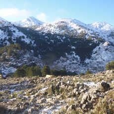
This zone records the highest rainfall on the Iberian Peninsula, creating conditions for the rare Spanish Fir forest, which exists only in these mountains and northern Morocco. Mist often lingers for days in the higher elevations, transforming the landscape into a damp, moss-covered environment reminiscent of northern European woodlands.
The community of curious travelers
AroundUs brings together thousands of curated places, local tips, and hidden gems, enriched daily by 60,000 contributors worldwide.