Simancon Peak, Mountain summit in Sierra del Endrinal, Spain.
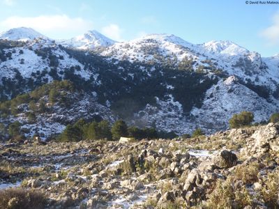
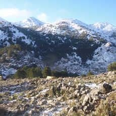
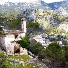
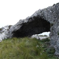
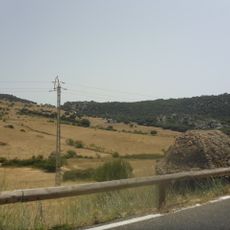
Simancon Peak is a mountain summit in the Sierra del Endrinal with an elevation of about 1,566 meters (5,135 feet), marked by steep rocky cliffs and dramatic elevation changes. The landscape features limestone formations that define the mountain range.
The peak formed through tectonic activity millions of years ago, with limestone layers shaped by pressure and earth movements. These geological processes in the broader Grazalema region created the landscape seen today.
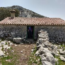
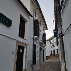
Local shepherds have used the surrounding plains for grazing livestock across generations, building stone enclosures that remain visible throughout the landscape. This pastoral tradition continues to shape how people relate to the high ground.
A hiking route circles the peak over about 11 kilometers, taking around 6 hours to complete starting from the Tajo Rodillo camping area. Weather conditions are an important factor to consider before heading out.
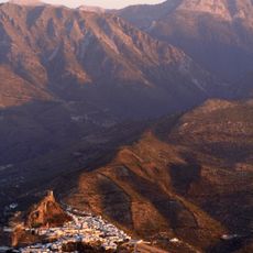
From this summit, visitors can see across a broad high plain used for centuries as grazing land by local shepherds. This elevated vantage point offers an understanding of how the surrounding landscape has been managed.
The community of curious travelers
AroundUs brings together thousands of curated places, local tips, and hidden gems, enriched daily by 60,000 contributors worldwide.