
Porqueira, municipality of Spain
Location: Ourense
Capital city: Forxa
Elevation above the sea: 635 m
Part of: Mancomunitat Voluntària de Concellos da Comarca da Limia gallec
Shares border with: Rairiz de Veiga, Vilar de Santos, Xinzo de Limia, Os Blancos, Calvos de Randín, Muíños, Bande
GPS coordinates: 42.01778,-7.84444
Latest update: March 4, 2025 10:49
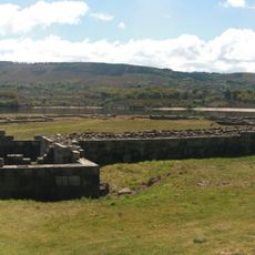
Aquis Querquennis
12.3 km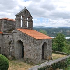
Church of Santa Comba de Bande
14 km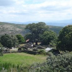
Baixa Limia - Serra do Xurés Natural Park
15.1 km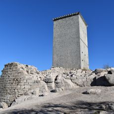
Tower of A Pena
16.2 km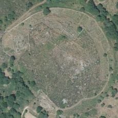
Castro of Castromao
19.4 km
Picoña Castle
14.1 km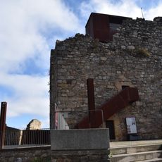
Torre do Castro
14.4 km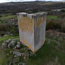
Castle of Sandiás
14.4 km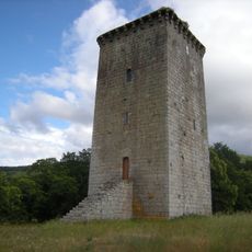
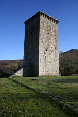
Tower of A Forxa
629 m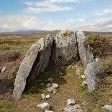
Monumentos Megalíticos e Arte Rupestre do Planalto de Castro Laboreiro
22.7 km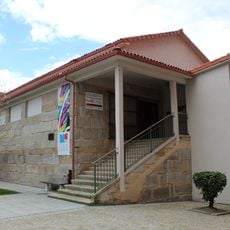
Museo Galego do Entroido
10.9 km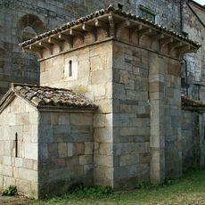
Capela de San Miguel
17.6 km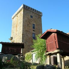
Vilanova dos Infantes tower
17.5 km
O Rexo, Allariz
21.2 km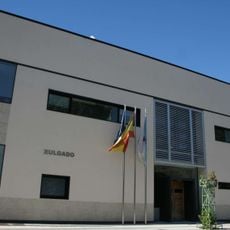
Judicial district of Bande
11.2 km
Forno do Povo de Tourém
13.2 km
Church of Santo Estevo de Sandiás
13 km
Church of San Salvador de Sanguñedo
9.9 km
Church of Santiago de Rubiás dos Mixtos
12.4 km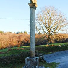
Cruceiro do Campo de Outeiro
9.9 km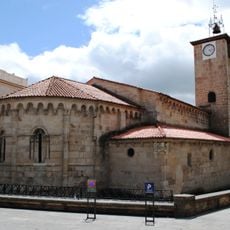
Saint James church in Allariz
19.5 km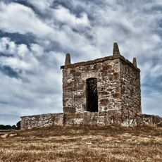
Castillo de Saínza
6 km
Museum of Vicente Risco
19.5 km
Biblioteca Pública Municipal de Bande
10.9 km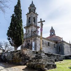
Conxunto histórico de Allariz
19.4 km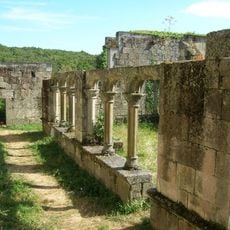
Monastery of Bon Xesús de Trandeiras
17.9 km
A Cambalhota
19.6 km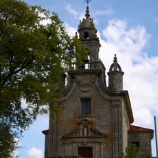
Sanctuary of Virxe do Cristal, Celanova
18.5 kmVisited this place? Tap the stars to rate it and share your experience / photos with the community! Try now! You can cancel it anytime.
Discover hidden gems everywhere you go!
From secret cafés to breathtaking viewpoints, skip the crowded tourist spots and find places that match your style. Our app makes it easy with voice search, smart filtering, route optimization, and insider tips from travelers worldwide. Download now for the complete mobile experience.

A unique approach to discovering new places❞
— Le Figaro
All the places worth exploring❞
— France Info
A tailor-made excursion in just a few clicks❞
— 20 Minutes