Baixa Limia-Serra do Xurés Natural Park, Nature reserve in Ourense, Spain.
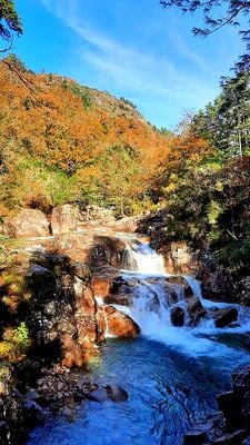
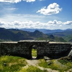
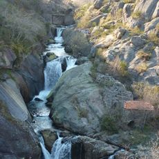
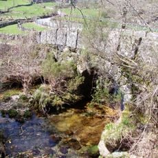
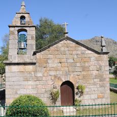
Baixa Limia - Serra do Xurés Natural Park is a protected area in the municipality of Muíños, in the province of Ourense, covering granite outcrops, mountain peaks, waterfalls, and river valleys along the Spanish-Portuguese border. The park connects directly with the Portuguese Peneda-Gerês National Park, forming a cross-border protected zone.
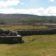
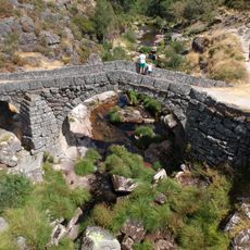
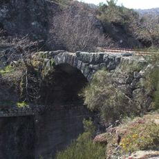
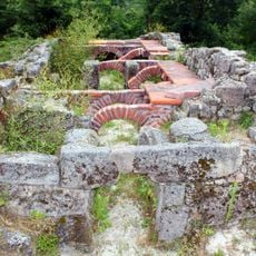
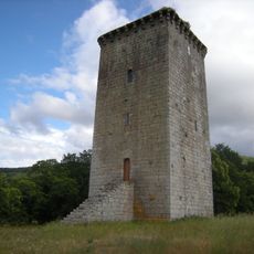
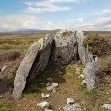
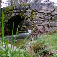
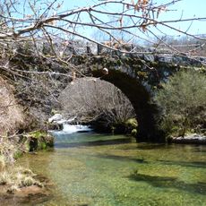
The area was declared a natural park in 1993 and has been crossed by people since Roman times, when the Via Nova road linked Braga to Astorga through its mountain passes. Sections of that road are still visible on the ground today.
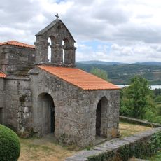
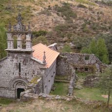
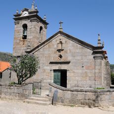
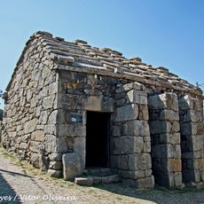
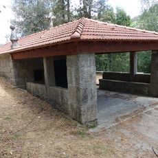
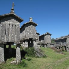
The villages inside the park still have stone houses and raised granite granaries called hórreos, built on legs to keep grain dry and away from animals. Walking through these settlements gives a clear sense of how farming life was organized in this mountain area for generations.
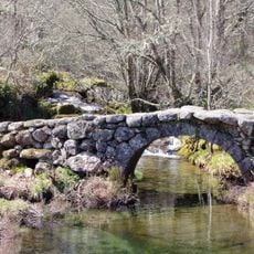
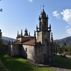
The park has marked hiking trails, some of which also allow horses or vehicles in certain sections. Nearby villages like Lobios have visitor centers and places to stay, which makes them a good base before heading into the park.
The Couto Mixto was a small border territory where people could choose between Spanish and Portuguese citizenship at the time of marriage, making it a legal oddity in Europe for centuries. This arrangement lasted until the 19th century, when it was dissolved by agreement between the two countries.
The community of curious travelers
AroundUs brings together thousands of curated places, local tips, and hidden gems, enriched daily by 60,000 contributors worldwide.