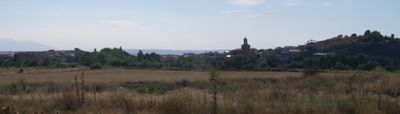
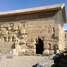
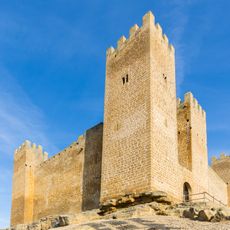
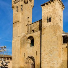
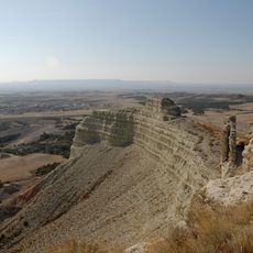
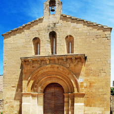
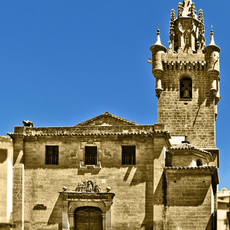
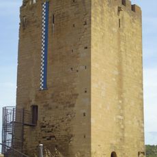
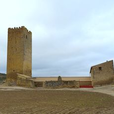
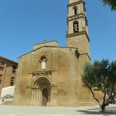
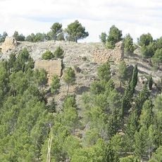
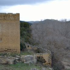
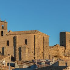
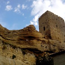
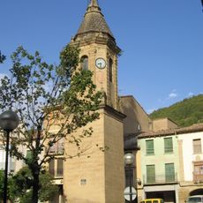
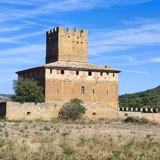
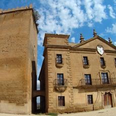
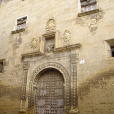
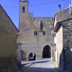
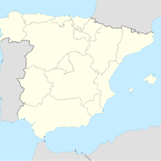
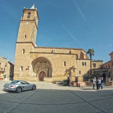
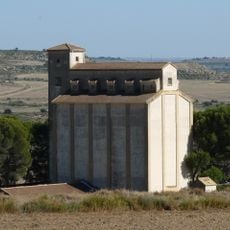
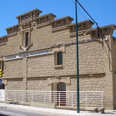
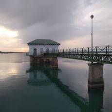
Erla, municipality in Spain
Location: Zaragoza Province
Capital city: Erla
Elevation above the sea: 425 m
Shares border with: Luna, Ejea de los Caballeros
GPS coordinates: 42.11500,-0.94763
Latest update: March 19, 2025 04:31
Los Bañales
30.3 km
Sádaba Castle
32.2 km
Church of San Salvador, Ejea de los Caballeros
16.1 km
Sora Castle
13.4 km
Category:Ermita de Nuestra Señora de Casbas (Ayerbe)
25 km
Church of Santiago, Luna
6.4 km
Church of Santa María la Mayor
31.2 km
Castillo de Uncastillo
31.2 km
Museo Aquagraria
16 km
Church of Santa María de la Corona, Ejea de los Caballeros
15.7 km
Church of Nuestra Señora de la Oliva, Ejea de los Caballeros
15.6 km
Castillo de Yéquera
11.7 km
Castle of Obano
8.7 km
Church of San Miguel Arcángel, Biota
25.7 km
Ayerbe Castle
27.5 km
Castillo de Villaverde
11.8 km
Iglesia de El Salvador (Luesia)
29 km
Castillo de Luesia
29.1 km
Torre del Reloj, Ayerbe
27.8 km
Castillo de la Ballesta
17.1 km
Palacio de los condes de Aranda
25.7 km
Church of San Andrés, Uncastillo
31.3 km
Torre del Señorío
274 m
Canal de Riego de La Violada
24.1 km
Iglesia de Nuestra Señora de la Esperanza
17.4 km
Silo de Piedratajada
12.1 km
Granary of Ejea de los Caballeros
16.2 km
Reservoir of La Sotonera
22.1 kmReviews
Visited this place? Tap the stars to rate it and share your experience / photos with the community! Try now! You can cancel it anytime.
Discover hidden gems everywhere you go!
From secret cafés to breathtaking viewpoints, skip the crowded tourist spots and find places that match your style. Our app makes it easy with voice search, smart filtering, route optimization, and insider tips from travelers worldwide. Download now for the complete mobile experience.
A unique approach to discovering new places❞
— Le Figaro
All the places worth exploring❞
— France Info
A tailor-made excursion in just a few clicks❞
— 20 Minutes