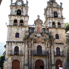
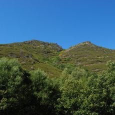
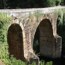
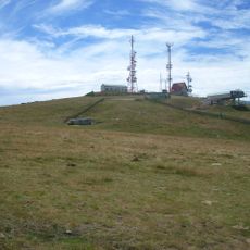
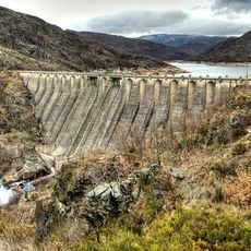
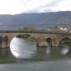
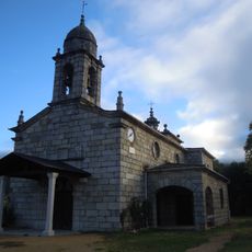
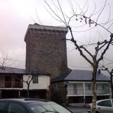
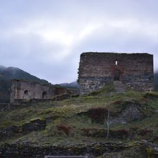
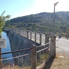
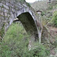
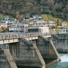
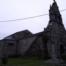
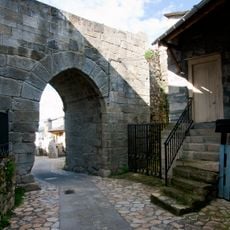
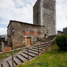
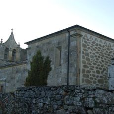
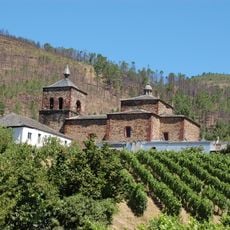
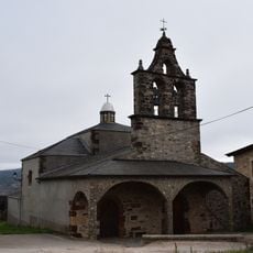
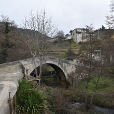
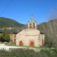
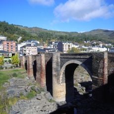
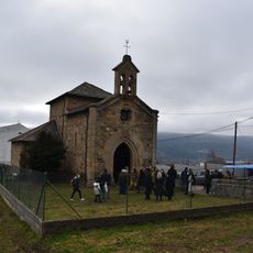
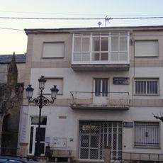
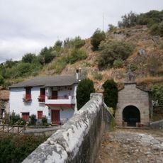
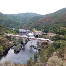
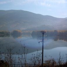
O Bolo, municipality of Spain
Location: Ourense
Capital city: O Bolo
Elevation above the sea: 785 m
Shares border with: Manzaneda, Larouco, Petín, A Veiga, Viana do Bolo
Website: http://obolo.es
GPS coordinates: 42.30667,-7.09889
Latest update: March 4, 2025 05:22
Santaurio da Virxe das Ermidas
3.6 km
O Invernadeiro Natural Park
26.7 km
Bridge of O Bibei
10 km
Mount Cabeza de Manzaneda
17.3 km
Embalse de San Sebastián
22 km
Castiñeiro de Pumbariños
11.9 km
Bridge of A Cigarrosa
9.1 km
Alberguería
5.4 km
Torre do Bolo
343 m
Castle of Os Novais
20.4 km
Encoro de Prada
4.7 km
A Ponte Navea
16.4 km
Embalse de Santiago
10.9 km
Church of San Pedro da Gudiña
27.5 km
Castle fort of Manzaneda
11.2 km
Castelo de Viana
14.1 km
Church of Santo André de Bembibre
19.1 km
Church of San Miguel de Montefurado
12.8 km
Church of Santa María de Vilanova de Valdeorras
17.3 km
Puente de Portomourisco
4.3 km
Monastery of San Miguel de Xagoaza
16.3 km
Bridge of Sobradelo
19.4 km
Chapel of San Francisco Blanco de Outarelo
17 km
Biblioteca Pública Municipal de Manzaneda
11.1 km
Capela da Nosa Señora das Ermidas de Portomourisco
4.3 km
Embalse de Sequeiros
20.2 km
Chandrexa Reservoir
25.3 km
Embalse de San Martiño
11.2 kmReviews
Visited this place? Tap the stars to rate it and share your experience / photos with the community! Try now! You can cancel it anytime.
Discover hidden gems everywhere you go!
From secret cafés to breathtaking viewpoints, skip the crowded tourist spots and find places that match your style. Our app makes it easy with voice search, smart filtering, route optimization, and insider tips from travelers worldwide. Download now for the complete mobile experience.
A unique approach to discovering new places❞
— Le Figaro
All the places worth exploring❞
— France Info
A tailor-made excursion in just a few clicks❞
— 20 Minutes