
Vallelado, municipality of Spain
Location: Segovia Province
Capital city: Vallelado
Elevation above the sea: 779 m
Part of: Mancomunitat «Cega», Mancomunitat de Municipis «Río Eresma»
Shares border with: Chañe, Mata de Cuéllar, San Miguel del Arroyo, San Cristóbal de Cuéllar, Cuéllar
Website: http://vallelado.org
GPS coordinates: 41.40556,-4.42639
Latest update: March 15, 2025 20:45

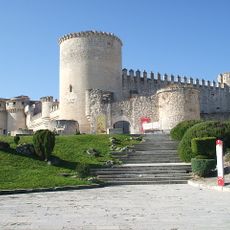
Cuéllar Castle
8.9 km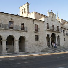
Santuario de Nuestra Señora de El Henar
7.6 km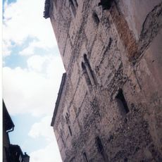
Palacio de Pedro I
9.4 km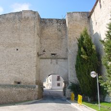
Cuéllar city walls
8.9 km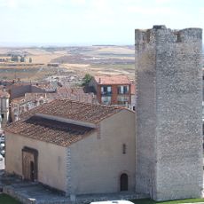
Iglesia de San Martín
9.1 km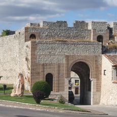
Arco de San Basilio
9 km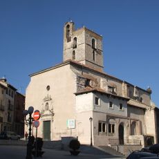
Iglesia de San Miguel
9.4 km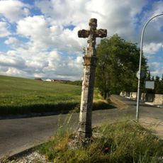
Cruz de Santo Domingo
8.8 km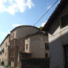
Convent of the Trinidad, Cuéllar
9.3 km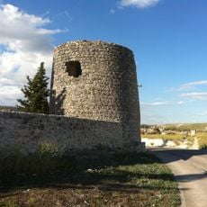
El Cubo (Cuéllar)
9.1 km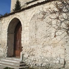
Iglesia de El Salvador
9.6 km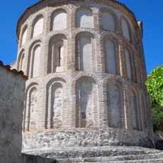
Iglesia de Santiago (Cuéllar)
9.3 km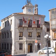
Casa consistorial de Cuéllar
9.4 km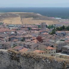
Conjunto histórico-artístico de Cuéllar
8.9 km
Palacio de Santa Cruz, Cuéllar
9.5 km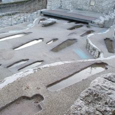
Parque arqueológico de San Esteban (Cuéllar)
9.3 km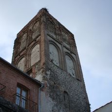
Iglesia de Santa Marina
9.4 km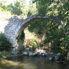
Puente de Barrancales
6.1 km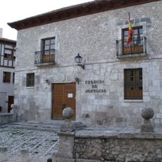
Palacio de los Rojas (Cuéllar)
9.5 km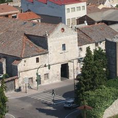
Convento de San Basilio (Cuéllar)
9 km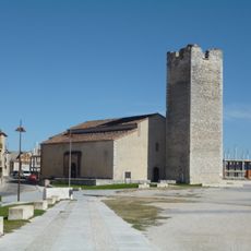
Centro de Interpretación del Arte Mudéjar
9 km
Puerta de la Judería
9.2 km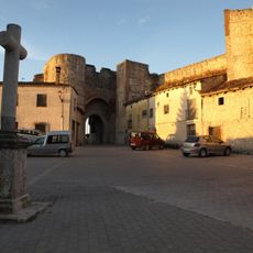
Cruz de San Basilio
9 km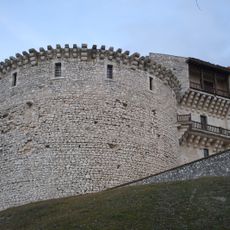
Torreón de Santo Domingo (Cuéllar)
8.9 km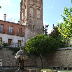
Fuente de Santa Marina
9.4 km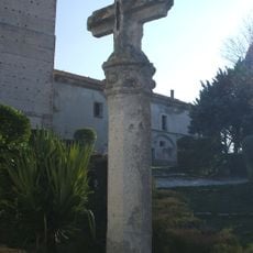
Cruz de la Cuesta
9.4 km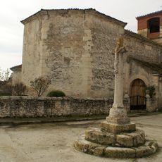
Iglesia de Santa María (Torregutiérrez)
5.5 km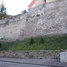
Walls and Castle of Cuéllar
8.9 kmReviews
Visited this place? Tap the stars to rate it and share your experience / photos with the community! Try now! You can cancel it anytime.
Discover hidden gems everywhere you go!
From secret cafés to breathtaking viewpoints, skip the crowded tourist spots and find places that match your style. Our app makes it easy with voice search, smart filtering, route optimization, and insider tips from travelers worldwide. Download now for the complete mobile experience.

A unique approach to discovering new places❞
— Le Figaro
All the places worth exploring❞
— France Info
A tailor-made excursion in just a few clicks❞
— 20 Minutes