Enguera, municipality in Valencia, Spain
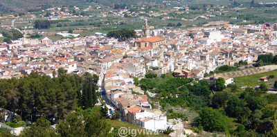
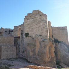
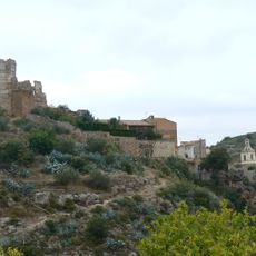
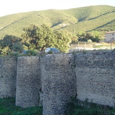
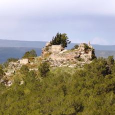
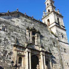
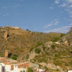
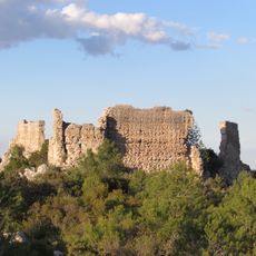
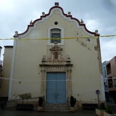
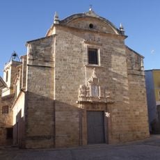
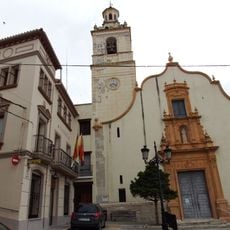
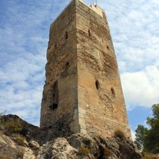
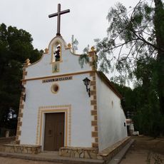
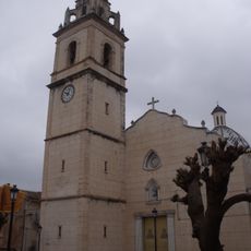
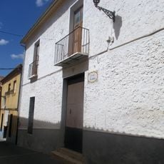
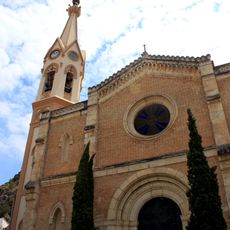
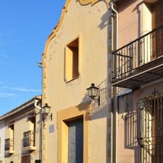
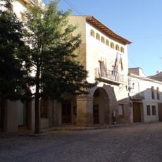
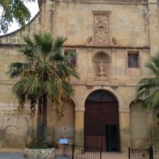
Enguera is a town in Canal de Navarrés region in Valencia province with narrow streets, stone buildings, and a setting at the edge of hilly landscapes. It has traditional architecture, with the Church of San Miguel from the 17th century and ruins of a medieval castle sitting on a nearby hill.
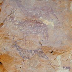
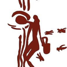
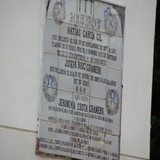
The town was settled as early as the Neolithic period, as shown by tools and rock art, and later inhabited by Iberians and Romans. In the Middle Ages, Muslims called it Benalí until King Jaime I gave the land to the Order of Santiago, and a major earthquake in 1748 destroyed many buildings.
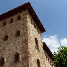
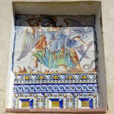
The name Enguera comes from its Muslim past, when the area was called Benali. Walking through the narrow streets today, you can see how the blend of Moorish and Christian architecture shapes how people live and move through the town.
The town is best reached by car, and accommodations are available as small rural hotels and guesthouses. The best time to visit is in spring or fall when temperatures are mild and walking is possible without extreme heat or cold.
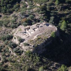
The town is known for specialized rock art from prehistoric times visible in caves and on cliff walls, showing scenes from the lives of early people. These archaeological sites offer insight into a past going back 5,000 years and are an important part of the region's cultural heritage.
The community of curious travelers
AroundUs brings together thousands of curated places, local tips, and hidden gems, enriched daily by 60,000 contributors worldwide.