
Vallei van de Molenbeek
Vallei van de Molenbeek, protected area in Belgium (E-097)
Location: Puurs-Sint-Amands
Inception: 1995
Operator: Natuurpunt v.z.w.
GPS coordinates: 51.06111,4.28888
Latest update: May 27, 2025 18:18

Fort Breendonk
3.7 km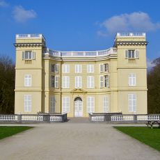
Kasteel d'Ursel
4.9 km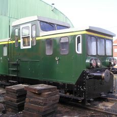
Stoomtrein Dendermonde-Puurs
4.5 km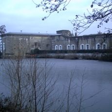
Fort van Liezele
693 m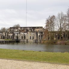
Fort van Bornem
4.5 km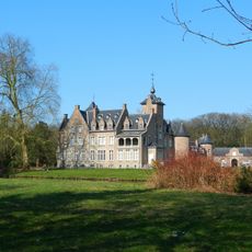
Hof te Melis
3.7 km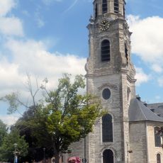
St. Peter's Church
2 km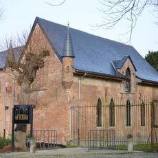
Hof ter Zielbeek
3.8 km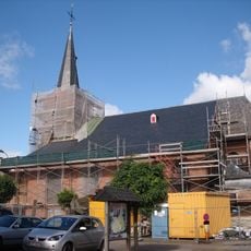
Sint-Stefanuskerk
2.7 km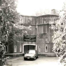
Puers Redoubt
2.3 km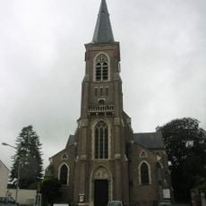
Sint-Jozefkerk
3.8 km
Sint-Stefanuskerk
4.9 km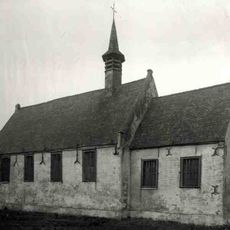
Sint-Katharinakapel
3.5 km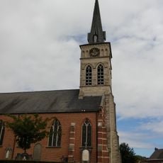
Sint-Katharinakerk
4.3 km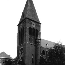
Sint-Leonarduskerk
3.2 km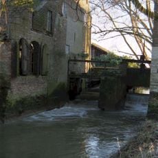
Koevoetmolen
2.4 km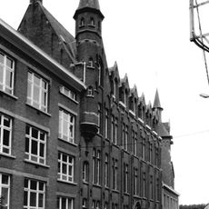
Ursulinenklooster
1.9 km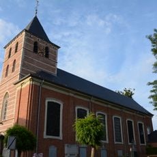
Sint-Lambertuskerk
3.6 km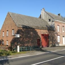
Schemelbertmolen
509 m
Watermolen van Eikevliet
3.5 km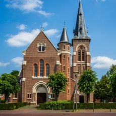
Sint-Jozefskerk
598 m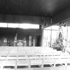
Onze-Lieve-Vrouw-ten-Traankerk
1.5 km
Sint-Jan en Sint-Amanduskerk
3.1 km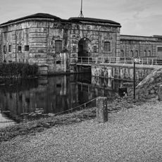
Breendonk Memorial
3.7 km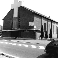
Heilige Familiekerk
4.5 km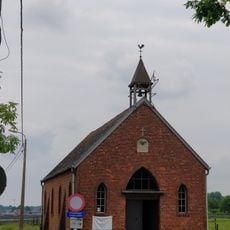
Kapel van Overheide
2.1 km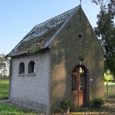
Onze-Lieve-Vrouw ter Koortskapel
1.4 km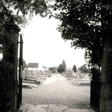
Gemeentelijke begraafplaats Puurs
1.5 kmVisited this place? Tap the stars to rate it and share your experience / photos with the community! Try now! You can cancel it anytime.
Discover hidden gems everywhere you go!
From secret cafés to breathtaking viewpoints, skip the crowded tourist spots and find places that match your style. Our app makes it easy with voice search, smart filtering, route optimization, and insider tips from travelers worldwide. Download now for the complete mobile experience.

A unique approach to discovering new places❞
— Le Figaro
All the places worth exploring❞
— France Info
A tailor-made excursion in just a few clicks❞
— 20 Minutes