
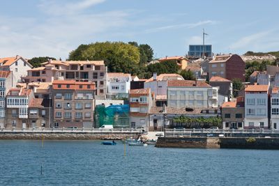
O Carril, Vilagarcía de Arousa, civil parish in Galicia, Spain
Location: Vilagarcía de Arousa
GPS coordinates: 42.61667,-8.77500
Latest update: April 3, 2025 05:07
Casco de Leiro
3.6 km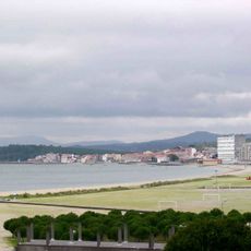
Compostela
1.1 km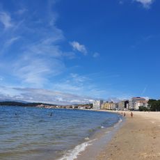
Praia da Concha
1.7 km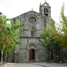
Igrexa de San Martiño de Sobrán
3.6 km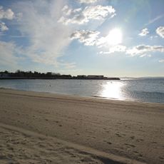
Playa Preguntoiro
3.6 km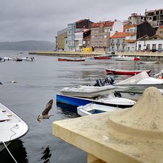
Praia do Portugalete
579 m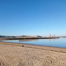
Playa de Compostela
1.3 km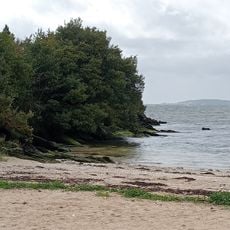
Praia do Porrón
3.2 km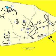
Petroglyphs of Os Ballotes
1 km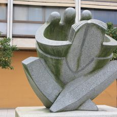
Monument to the Spanish Constitution of 1978
2.1 km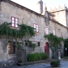
Pazo de Vista Alegre
2.7 km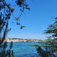
Illa Cortegada
887 m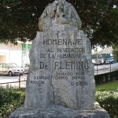
Monument to Fleming
2.6 km
Playa Sartaxes
557 m
Sartaxe
3.8 km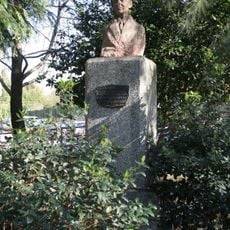
Monument to Alejandro Cerecedo
2.6 km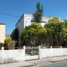
Casa Becerra
1.5 km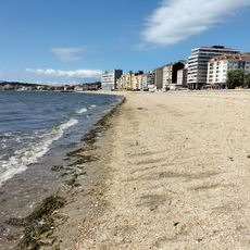
Playa Vilagarcía
1.2 km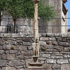
Cruceiro de Santiago do Carril
192 m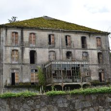
Casa de los Duques de Medina de las Torres
2.7 km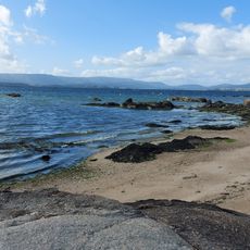
Praia das Saíñas
4.2 km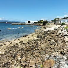
De Bouzas
3.1 km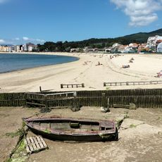
Praia da Concha
1.7 km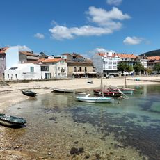
Carril
408 m
Tronco
3.9 km
Praia Longa
552 m
Praia de Canelas
2.8 km
Pereira Torta
3.4 kmReviews
Visited this place? Tap the stars to rate it and share your experience / photos with the community! Try now! You can cancel it anytime.
Discover hidden gems everywhere you go!
From secret cafés to breathtaking viewpoints, skip the crowded tourist spots and find places that match your style. Our app makes it easy with voice search, smart filtering, route optimization, and insider tips from travelers worldwide. Download now for the complete mobile experience.

A unique approach to discovering new places❞
— Le Figaro
All the places worth exploring❞
— France Info
A tailor-made excursion in just a few clicks❞
— 20 Minutes