Vilagarcía de Arousa

Log in to your account

AroundUs is a community-driven map of interesting places, built by curious explorers like you. It grows with every review, story, and photo you share.
Connect to save your favorite spots, contribute locations, and create personalized routes.
Continue with Google
Continue with Apple
Continue with X
Continue with Facebook
Continue with email
By continuing, you accept our Terms and Conditions and our Privacy Policy
Create an account
Add to collection
Map
Suggest a change
Share

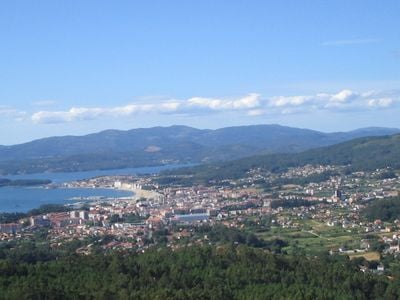
Vilagarcía de Arousa, Coastal municipality in Pontevedra Province, Spain

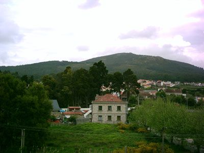
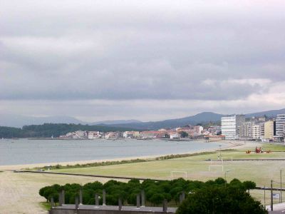
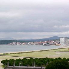
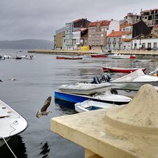
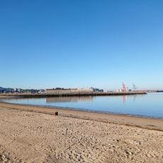
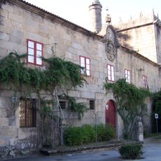
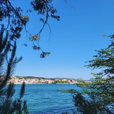
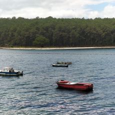
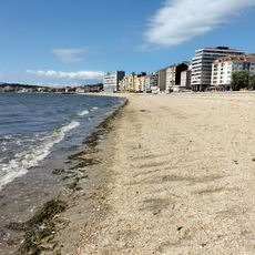
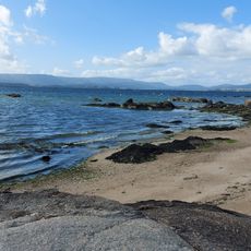
Vilagarcía de Arousa sits on the southern shore of the Ría de Arousa and serves as an active harbor town with fishing docks and port operations. The municipality spreads along the coastline with residential areas, commercial zones, and visitor facilities.

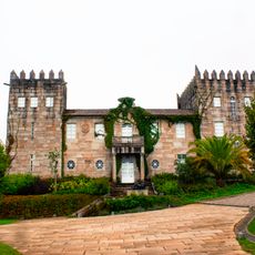
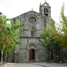
The municipality formed in 1913 from the merger of three towns: Carril, Vilaxoán, and Vilagarcía. This union strengthened administrative capacity and allowed for better management of expanding harbor activities.

The Festival of San Roque shapes the summer calendar with traditional processions and local customs that gather both residents and visitors. Water-centered celebrations show how the community honors its connection to the sea and marks seasonal changes.

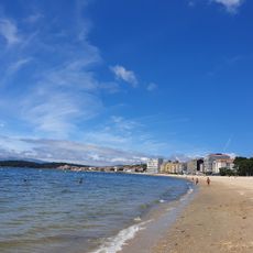
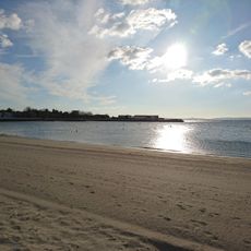
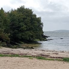
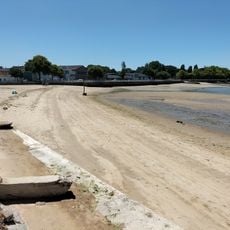
The area offers access to two award-winning beaches and walking routes through the surrounding landscape that are easy to explore. The FEXDEGA center serves as a hub for events and provides information about local activities.

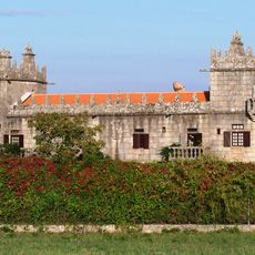
A historical walking trail from the 1700s passes through the area and traces routes once explored by Father Sarmiento. This cultural pathway connects past journeys with today's landscape, revealing how people moved through these lands long ago.

Location: Pontevedra Province

Capital city: Vilagarcía de Arousa (city)

Elevation above the sea: 0 m

Part of: Mancomunidad Voluntaria de Municipios de Arousa, gemenebest van Salnés

Shares border with: Vilanova de Arousa, Caldas de Reis, Catoira

Website: https://vilagarcia.gal

GPS coordinates: 42.59506,-8.74306

Latest update: December 14, 2025 20:30

Photos
Reviews

Visited this place? Tap the stars to rate it and share your experience / photos with the community! Try now! You can cancel it anytime.

« Vilagarcía de Arousa - Coastal municipality in Pontevedra Province, Spain » is provided by Around Us (aroundus.com). Images and texts are derived from Wikimedia project under a Creative Commons license. You are allowed to copy, distribute, and modify copies of this page, under the conditions set by the license, as long as this note is clearly visible.

Discover hidden gems everywhere you go!

From secret cafés to breathtaking viewpoints, skip the crowded tourist spots and find places that match your style. Our app makes it easy with voice search, smart filtering, route optimization, and insider tips from travelers worldwide. Download now for the complete mobile experience.

Around Us App Screenshot

A unique approach to discovering new places

Le Figaro

All the places worth exploring

France Info

A tailor-made excursion in just a few clicks

20 Minutes