Playa de Porcía, Protected beach in El Franco, Spain
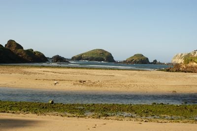
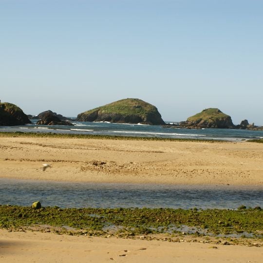
Playa de Porcía is a triangular-shaped beach at the mouth of the Porcía River featuring golden sands and clear waters along the Asturian coast. The beach stretches between rock formations and offers a broad sandy expanse that widens at low tide.
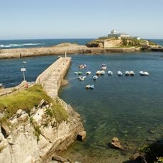
The beach formed through geological processes at the river mouth and was later shaped by maritime activities. Old iron ore piers and mooring points carved into the rocks reveal its long history as a harbor and fishing area.
The beach marks the natural boundary between the municipalities of El Franco and Tapia de Casariego and remains important to local fishing communities. Residents have used this area for generations as a mooring point for boats and as part of their daily coastal life.
The beach is best reached through the towns of Campos or Salave from Tapia de Casariego or via Valdepares from El Franco. At low tide the sandy area becomes especially large, so planning your visit around this time is worthwhile.
At high tide the sea covers the whole beach and leaves a series of small islets standing in the water. The Porcía River reaches the sea here, but sand piled far from the shore closes its estuary and splits it into many meanders. The three wooded rocks visible offshore are what remains above the water at these times.
The community of curious travelers
AroundUs brings together thousands of curated places, local tips, and hidden gems, enriched daily by 93,362 contributors worldwide.