Enable Location

We need your location to show you interesting places around you

Discover nearby places

Find interesting locations and hidden gems around you

Precise directions

Get accurate directions and distances to places

Your location is never shared with other users. It's only used when you tap the location button.

Montsent de Pallars

Log in to your account

Start exploring — it's free

Trusted by 61,938 travelers worldwide

Continue with Google
Continue with Apple
or

We will send you a code to connect

By continuing, you accept our Terms and Conditions and our Privacy Policy

Check your inbox

We've sent a pincode in your inbox. Please enter the code below.

Montsent de Pallars

Montsent de Pallars, Mountain summit in Catalonia, Spain.

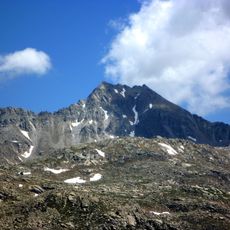
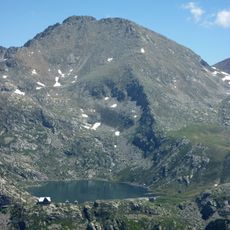
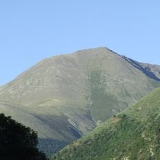
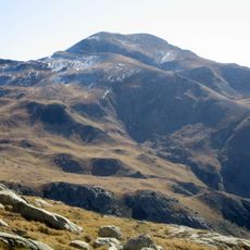
Montsent de Pallars is a mountain summit in Catalonia that reaches 2,883 meters, standing between the valleys of Vall Fosca and Vall d'Àssua. It marks the border area shared by the municipalities of La Torre de Cabdella and Sort.

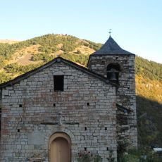
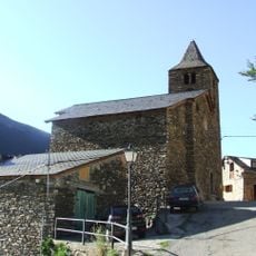
The mountain territory belonged to the ancient county of Pallars, first appearing in written records during the 9th century. This region was significant in medieval Catalonia and shaped the development of the surrounding valleys.

The name comes from Catalan language, where 'pala' means a steep mountain slope with smooth surfaces. Local shepherds and hikers use this term when talking about the landscape they know.

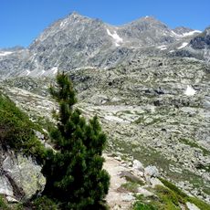
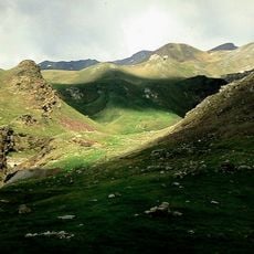
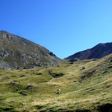
The hike starts near Coll de Triador in Llessui and follows a route of around 7.6 kilometers with an elevation gain of about 820 meters. The ascent typically takes four and a half hours, so visitors should prepare with appropriate fitness level and proper hiking gear.

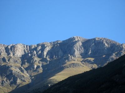
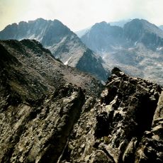
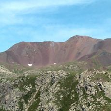
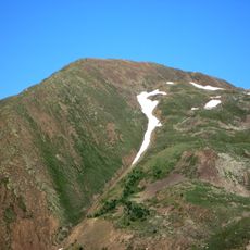
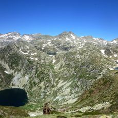
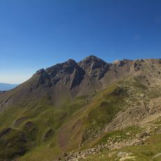
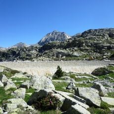
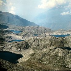
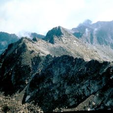
The summit displays two contrasting faces shaped by different geological processes: the western side features rocky formations while the eastern slope contains extensive alpine meadows. This dramatic difference becomes visible as you near the peak from either direction.

The community of curious travelers

AroundUs brings together thousands of curated places, local tips, and hidden gems, enriched daily by 60,000 contributors worldwide.

Start exploring
GPS coordinates
42.49012,1.02442
Latest update
December 14, 2025 16:45
« Montsent de Pallars - Mountain summit in Catalonia, Spain » is provided by Around Us (aroundus.com). Images and texts are derived from Wikimedia project under a Creative Commons license. You are allowed to copy, distribute, and modify copies of this page, under the conditions set by the license, as long as this note is clearly visible.

Discover hidden gems everywhere you go!

From secret cafés to breathtaking viewpoints, skip the crowded tourist spots and find places that match your style. Our app makes it easy with voice search, smart filtering, route optimization, and insider tips from travelers worldwide. Download now for the complete mobile experience.

Around Us App Screenshot

A unique approach to discovering new places

Le Figaro

All the places worth exploring

France Info

A tailor-made excursion in just a few clicks

20 Minutes

Around Us
Travel Guide & Maps
Download

Send to your phone

QR Code
1

Open the camera app on your mobile.

2

Point at the QR code with your camera. A notification will appear.

3

Tap the notification to open the link.