Pic de Peguera, Mountain summit in Parc Nacional d'Aigüestortes i Estany de Sant Maurici, Spain.
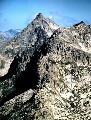
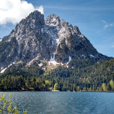
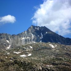
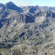
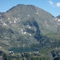
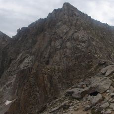
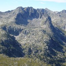
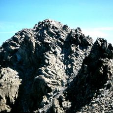
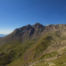
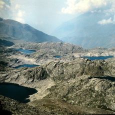
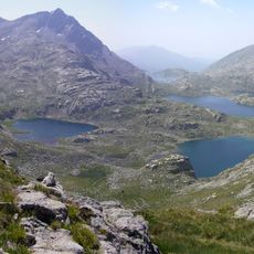
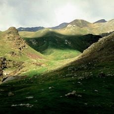
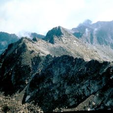
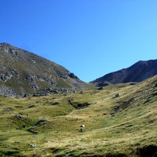
Pic de Peguera is a mountain summit in Aigüestortes National Park with an elevation of 2,980 meters and the highest point in the eastern section. The peak consists of gray rocky formations surrounded by snow-covered slopes and green alpine meadows that slope downward on all sides.
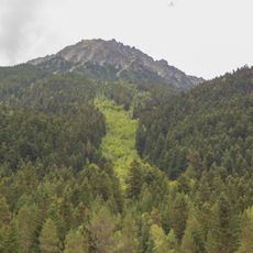
The mountain historically marked the boundary between the regions of Pallars Jussà to the south and Pallars Sobirà to the north. This geographical division shaped settlement patterns and economic development in both valley regions over many centuries.
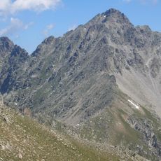
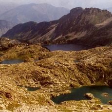
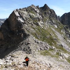
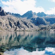
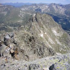
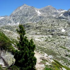
The summit is part of the Carros de Foc circuit, a traditional hiking route that connects nine mountain refuges across the national park. Walkers use this path to travel between shelters and experience the alpine landscape on well-established trails.
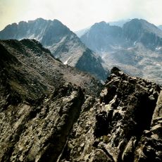
The ascent requires technical hiking skills and experience with challenging terrain. The routes are marked with cairns and depart from mountain shelters that serve as bases for multi-day hikes in the park.
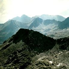
From its position, the summit offers views toward the Aneto-Maladeta massif in the distance. This perspective allows visitors to understand the broader geographical structure of the Pyrenees and see neighboring high peaks across the range.
The community of curious travelers
AroundUs brings together thousands of curated places, local tips, and hidden gems, enriched daily by 60,000 contributors worldwide.