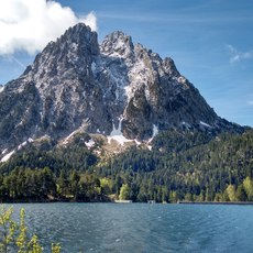
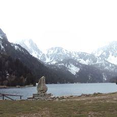
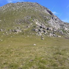
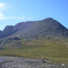
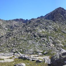
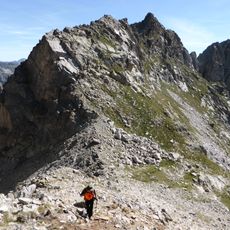
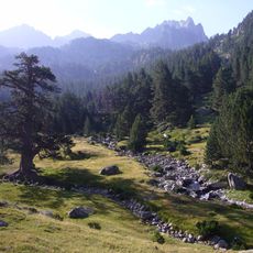
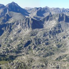
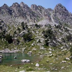
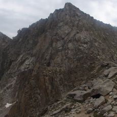
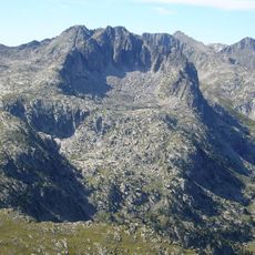
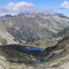
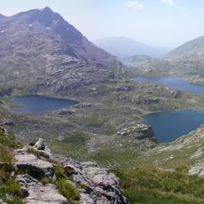
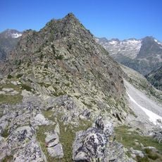
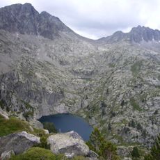
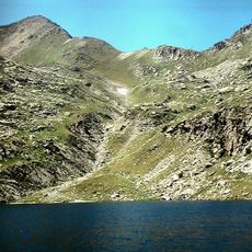
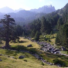
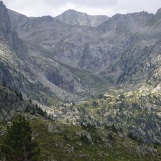
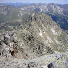
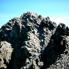
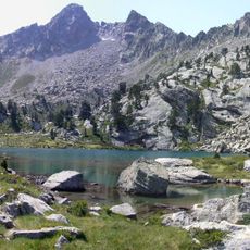
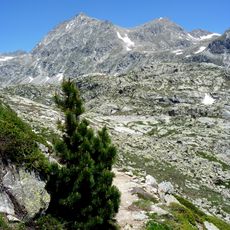
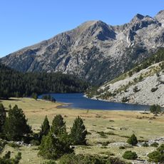
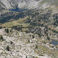
Pic de Subenuix, Mountain summit in Pyrenees, Spain.
Pic de Subenuix is a mountain summit in the Pyrenees located in Catalonia and stands at approximately 2,950 meters (9,678 feet) above sea level. The peak sits where three valleys converge, offering views across the surrounding high-altitude landscape.
The name Subenuix is documented as deriving from the Basque zubi (bridge) and -uix, referring to the stone bridge (pontarró) where the old Portarró royal path crossed the Subenuix river. The peak, 2,950.2 m high, lies on the boundary between the municipalities of La Torre de Cabdella (Pallars Jussà) and Espot (Pallars Sobirà), on the edge of Aigüestortes i Estany de Sant Maurici National Park and its peripheral zone. It is the culminating point of the Subenuix valley and appears on the FEEC's list of 100 peaks.
The peak is on the FEEC's list of the 100 Cims de Catalunya, a challenge to summit 100 catalogued peaks. It is the highest point of the Subenuix valley. The name Subenuix may come from the Basque zubi (bridge) and -uix, referring to the stone bridge where the old Portarró path crossed the Subenuix river.
The mountain is reached via marked trails starting from Aigüestortes National Park and requires proper climbing gear and stable weather. The best time to visit is between June and September when snow has melted and conditions are most favorable for safe travel.
The name Subenuix probably comes from the Basque zubi (bridge) and -uix, referring to the stone bridge where the old Portarró path crossed the Subenuix river. The peak is the highest point of the Subenuix valley and is listed among the 100 cims of the FEEC.
The community of curious travelers
AroundUs brings together thousands of curated places, local tips, and hidden gems, enriched daily by 94,514 contributors worldwide.