Alta Garrotxa, Protected natural area in Catalonia, Spain
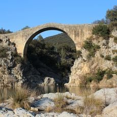
Alta Garrotxa is a protected natural area of about 329 km² spanning the Garrotxa, Alt Empordà and Ripollès comarques in the eastern pre-Pyrenees. Its relief is built from limestone and marl, with karst cavities, caves and chasms, and the deeply cut valleys of the Alt Llierca. The Bac Grillera massif reaches about 1,000 m and is drier than the surrounding land.
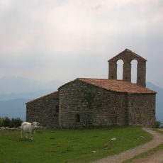
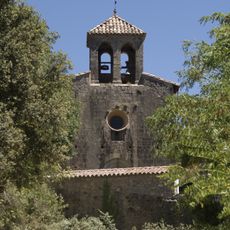
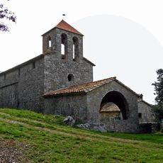
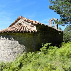
Human presence in Alta Garrotxa dates to the Palaeolithic, attested by the Cova del Bisbe, with later Roman remains such as the castle of Falgars. Benedictine monks found refuge at Sant Aniol d'Aguja and Sant Llorenç del Mont, and around forty simple churches were built in comital times, among them Sant Cristòfol de Beget and Sant Feliu de Riu. The First Remença War began on these lands, and Carlist bands operated here during the Third Carlist War, including the battle of the Toix.
The name Alta Garrotxa refers to the rough, trackless terrain of this subcomarca shared by the Garrotxa, Alt Empordà and Ripollès. Until butane gas arrived, the main economic activity was exploiting the forest to make charcoal. Since the 1960s the area has lost population steadily.
Access to popular locations like Sadernes requires using designated parking facilities, as vehicle restrictions are enforced during peak visitor periods. Arriving early in the day or visiting outside main seasons helps ensure better conditions for exploring the terrain.
The protected area was first declared a Site of Community Importance in 1997 and a Special Protection Area for birds in 2005, before joining Natura 2000 in 2006. Its management body, the Consorci de l'Alta Garrotxa, was created on 15 December 2000 and has its seat in the former rectory of Sadernes, in the municipality of Sales de Llierca.
The community of curious travelers
AroundUs brings together thousands of curated places, local tips, and hidden gems, enriched daily by 93,811 contributors worldwide.