
Peña Roya, montaña de los Pirineos aragoneses, en España
Location: Huesca Province
Elevation above the sea: 2,578 m
GPS coordinates: 42.68060,-0.27328
Latest update: April 9, 2025 12:36
Baños de Panticosa
9.4 km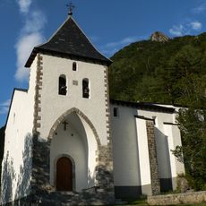
Ermita de Santa Elena
4.4 km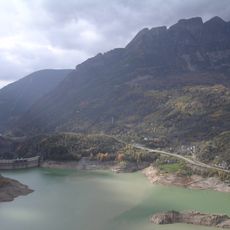
Búbal reservoir
4 km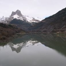
Lanuza Reservoir
9.4 km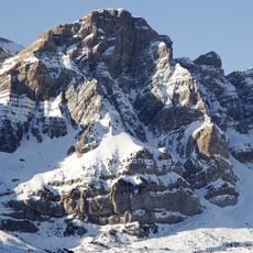
Peña Telera
8.3 km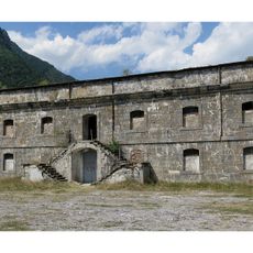
Fuerte de Santa Elena
4.4 km
Sobrepuerto
12.9 km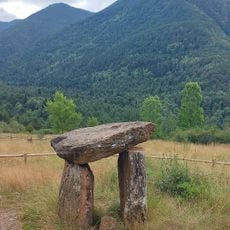
Dolmen de Santa Elena
4.3 km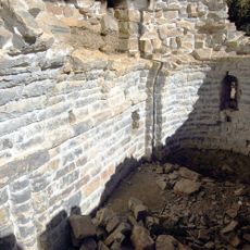
Monasterio de San Pelay (Gavín)
8.1 km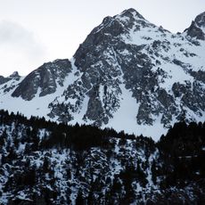
Argualas
9.6 km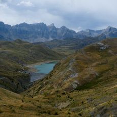
Escarra Reservoir
9.8 km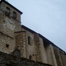
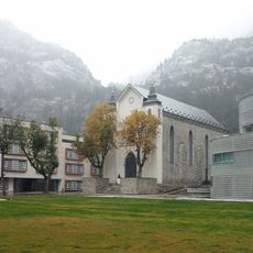
Church of the Asunción, Sallent de Gállego
11.3 km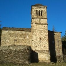
San Bartolomé de Gavín
5.8 km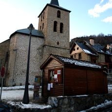
Church of the Asunción de Nuestra Señora, Panticosa
4.9 km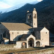
Torre de la iglesia de San Miguel
10.8 km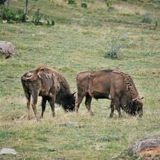
Parque Faunístico de Lacuniacha
5.4 km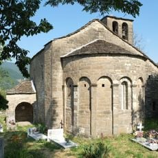
Santa Eulalia
10.3 km
Puerto de Otal - Cotefablo
9.4 km
Garmo Negro
10.2 km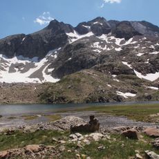
Arnales
11.2 km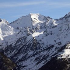
Pic Occidental d'Enfer
11.4 km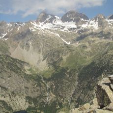
Aguja de Pondiellos
10.2 km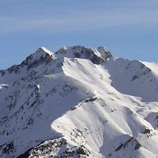
Algas
9.8 km
Infierno Oriental
11.3 km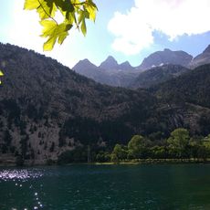
Algas N
9.9 km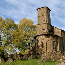
Iglesia de Santa Eulalia de Susín
12.6 km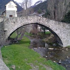
Puente viejo
11.2 km
Yacimiento del Monasterio de San Pelay
8.1 kmReviews
Visited this place? Tap the stars to rate it and share your experience / photos with the community! Try now! You can cancel it anytime.
Discover hidden gems everywhere you go!
From secret cafés to breathtaking viewpoints, skip the crowded tourist spots and find places that match your style. Our app makes it easy with voice search, smart filtering, route optimization, and insider tips from travelers worldwide. Download now for the complete mobile experience.

A unique approach to discovering new places❞
— Le Figaro
All the places worth exploring❞
— France Info
A tailor-made excursion in just a few clicks❞
— 20 Minutes