Peña Telera, Mountain summit in Huesca Province, Spain.
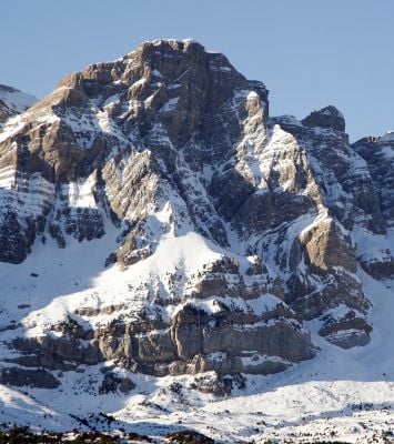
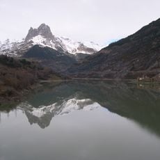
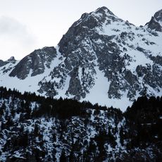
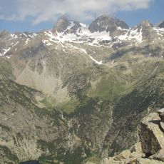
Pena Telera is a mountain summit in Huesca Province that rises to 2762 meters and features limestone rock with sheer vertical walls on its southern side. The northern slopes are less dramatic, offering a contrast to the steep cliffsides that define much of its appearance.
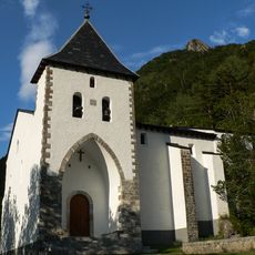
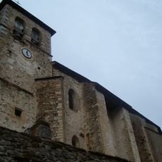
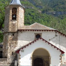
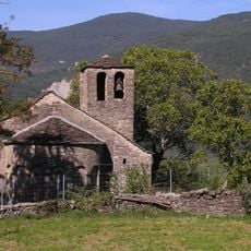
The mountain formed millions of years ago through limestone deposits and tectonic uplift in the Pyrenees. This geological process shaped where nearby settlements like Piedrafita de Jaca eventually developed, using the foot of the peak as a natural reference point.
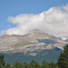
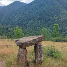
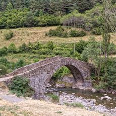
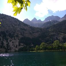
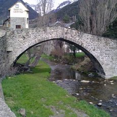
Shepherds have used these slopes for generations, practicing traditional grazing that shapes how the Pyrenees landscape looks today. You can still see these patterns when you visit, showing how people and the mountain have lived together.
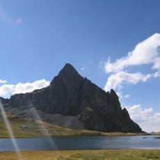
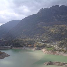
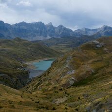
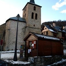
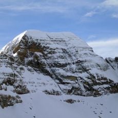
Access to the summit comes through multiple routes starting from Piedrafita de Jaca, with the northern path offering a challenging eight-hour climb. Visitors should prepare for changing weather and steep sections, especially on the southern side where the terrain is more exposed.
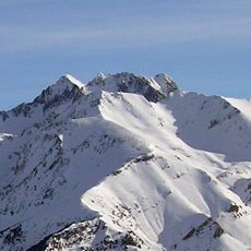
The peak's location creates a natural weather barrier that produces noticeably colder conditions on its northern side compared to the southern exposure. This temperature difference becomes quite apparent as you move around the mountain during a climb.
The community of curious travelers
AroundUs brings together thousands of curated places, local tips, and hidden gems, enriched daily by 60,000 contributors worldwide.