A Torre, human settlement in Abadín, Terra Chá, Lugo Province, Spain
Location: Abadín
Elevation above the sea: 513 m
GPS coordinates: 43.36268,-7.48960
Latest update: March 21, 2025 10:29

Minho River
23.9 km
Catedral de Mondoñedo
12.6 km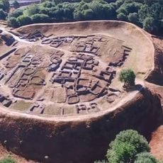
Castro of Viladonga
23.9 km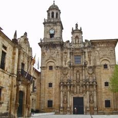
Monastery of San Salvador de Lourenzá
19.6 km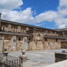
Monasterio de Santa María de Meira
22.6 km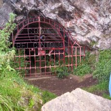
Caves of King Cintolo
10.4 km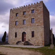
Castrodouro Castle
19.5 km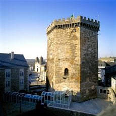
Castelo de Vilalba
17.2 km
Parador de Villalba
17.2 km
Castle of Caldaloba
20 km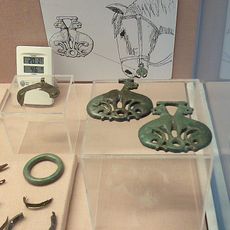
Museo Arqueológico del Castro de Viladonga
24 km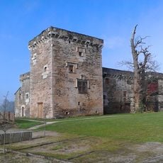
Pazo de Tovar
19.6 km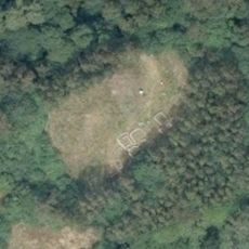
Castro de Zoñán
10.5 km
Espacio Caritel
26.7 km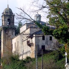
Monastery of San Martiño de Vilalourente
11.9 km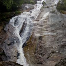
Fervenza do Escouridal
12.9 km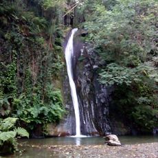
Salto do Coro
11.9 km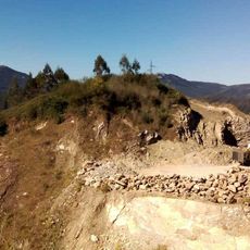
Trinidade Hillfort
16.8 km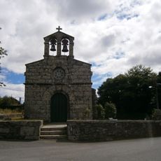
Church of Santa María de Abadín
213 m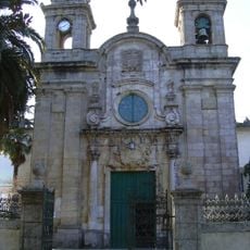
Church of Nosa Señora dos Remedios
12.1 km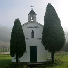
Chapel of San Sebastián de Vilar, Lourenzá
19.2 km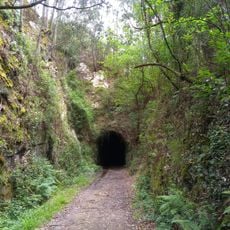
Ruta da antiga vía do ferrocarril Vilaoudriz - Ribadeo
24.2 km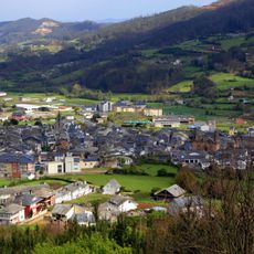
Conjunto histórico de Mondoñedo
12.6 km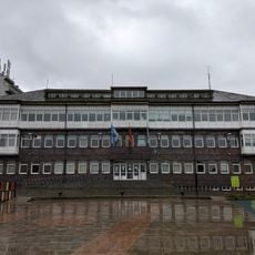
Casa do Concello de Vilalba
17.1 km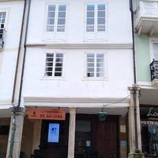
Casa museo de Álvaro Cunqueiro
12.5 km
Biblioteca Pública Municipal de Vilalba
17.3 km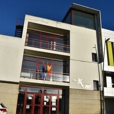
Biblioteca Pública Municipal de Meira
22.9 km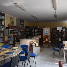
Biblioteca Municipal de Castro de Rei - Poeta Crecente Vega
18.8 kmVisited this place? Tap the stars to rate it and share your experience / photos with the community! Try now! You can cancel it anytime.
Discover hidden gems everywhere you go!
From secret cafés to breathtaking viewpoints, skip the crowded tourist spots and find places that match your style. Our app makes it easy with voice search, smart filtering, route optimization, and insider tips from travelers worldwide. Download now for the complete mobile experience.

A unique approach to discovering new places❞
— Le Figaro
All the places worth exploring❞
— France Info
A tailor-made excursion in just a few clicks❞
— 20 Minutes