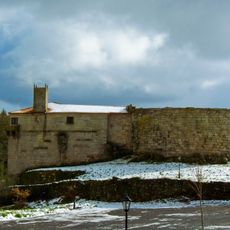
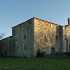
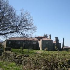
Monte Faro, mountain and special area of conservation in Galicia, Spain
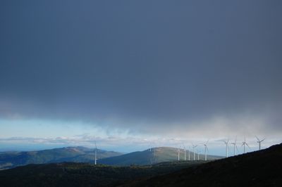
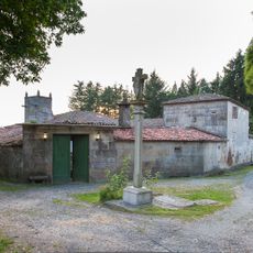
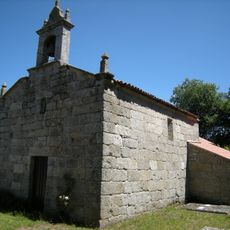
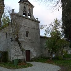
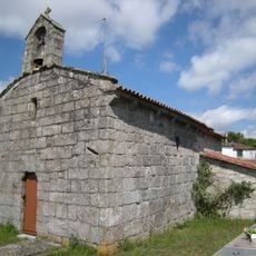
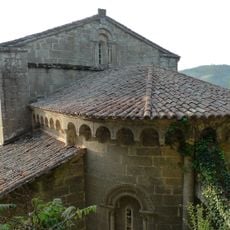
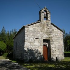
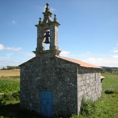
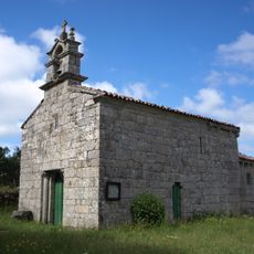
Monte Faro is a protected mountain area in Chantada that rises over 1,180 meters and is part of the Natura 2000 network. The landscape features mixed forests of oak, alder, and ash mixed with open grasslands and heathland, with a small shrine standing on the summit.
The area was officially designated as a protected site under the Natura 2000 framework in 2004, safeguarding nearly 3,000 hectares. Throughout history, Monte Faro served as a natural boundary marker between regions and a navigation landmark for travelers crossing the area.
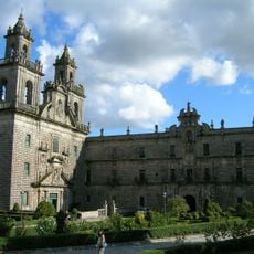
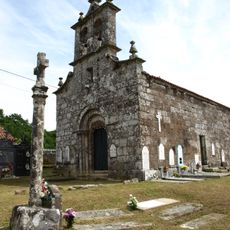
The mountain hosts two major celebrations each year, especially on September 8th, when villagers climb the steep path to the shrine at the summit. Local people have maintained traditions of prayer and gratitude connected to this place for generations, making it a site where faith and the natural landscape intersect.
The mountain is accessible via marked hiking and pilgrimage paths, including the PR-G 7 trail with views across the countryside. Bring water and wear comfortable shoes, and stay on marked paths as the terrain is uneven and suits different fitness levels.
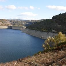
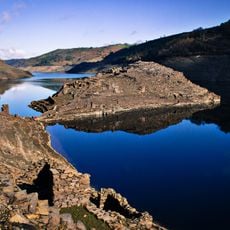
The mountain is home to rare and threatened species including special insects, frogs, small reptiles, bats, and otters. These protected animals use the varied habitats from forests to open peatland and wetland areas.
The community of curious travelers
AroundUs brings together thousands of curated places, local tips, and hidden gems, enriched daily by 60,000 contributors worldwide.