
Vilar, human settlement in Lourenzá, A Mariña Central, Lugo Province, Spain
Location: Santo Adrao de Lourenzá, Lourenzá
GPS coordinates: 43.41889,-7.26639
Latest update: March 4, 2025 06:27
As Catedrais beach
17.4 km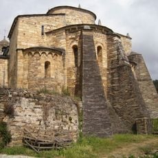
Basilica of Saint Martin de Mondoñedo
16.2 km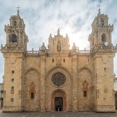
Catedral de Mondoñedo
7.9 km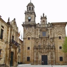
Monastery of San Salvador de Lourenzá
6.3 km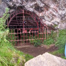
Caves of King Cintolo
8.7 km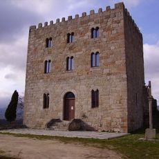
Castrodouro Castle
16.7 km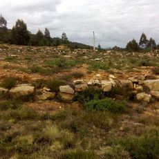
Henge de Roda
15.5 km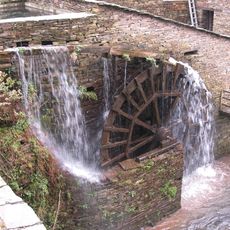
Mazonovo
14.7 km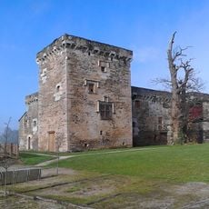
Pazo de Tovar
2.5 km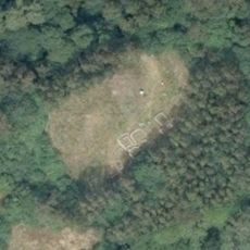
Castro de Zoñán
10.4 km
Espacio Caritel
16 km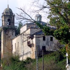
Monastery of San Martiño de Vilalourente
9.3 km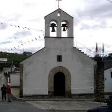
Sanctuary of A Nosa Señora das Virtudes da Ponte
13.2 km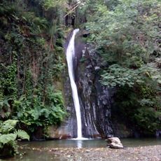
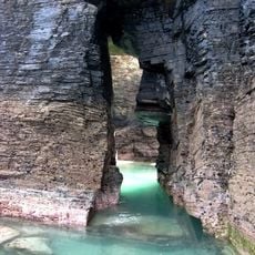
Salto do Coro
7.3 km
Praia de Arealonga, Barreiros
17.1 km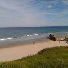
Beach of Lóngara
17 km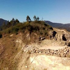
Trinidade Hillfort
6.5 km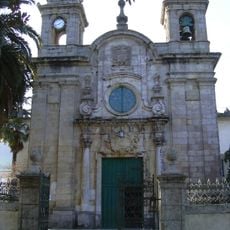
Church of Nosa Señora dos Remedios
8.4 km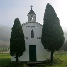
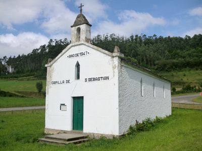
Chapel of San Sebastián de Vilar, Lourenzá
129 m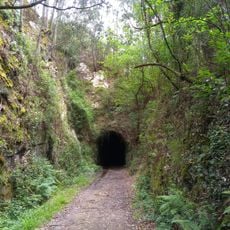
Ruta da antiga vía do ferrocarril Vilaoudriz - Ribadeo
9.9 km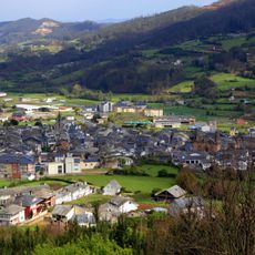
Conjunto histórico de Mondoñedo
7.9 km
Casa museo de Álvaro Cunqueiro
7.9 km
Tupide
16.9 km
Biblioteca Pública Municipal de Foz - Salgado Toimil
16.4 km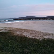
A Rapadoira
17.1 km
Praia de San Miguel de Reinante
17 km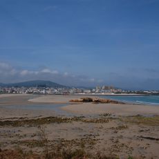
San Cosme
16.5 km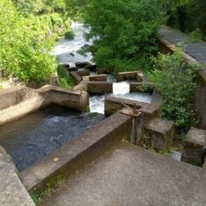
Encoro do Pé da Viña
7.3 kmReviews
Visited this place? Tap the stars to rate it and share your experience / photos with the community! Try now! You can cancel it anytime.
Discover hidden gems everywhere you go!
From secret cafés to breathtaking viewpoints, skip the crowded tourist spots and find places that match your style. Our app makes it easy with voice search, smart filtering, route optimization, and insider tips from travelers worldwide. Download now for the complete mobile experience.

A unique approach to discovering new places❞
— Le Figaro
All the places worth exploring❞
— France Info
A tailor-made excursion in just a few clicks❞
— 20 Minutes