
Les Planes d'Hostoles, human settlement in Spain
Location: Les Planes d'Hostoles
GPS coordinates: 42.05669,2.54093
Latest update: March 11, 2025 06:04

Santuari del Far
4 km
La Salut (Sant Feliu de Pallerols)
3.8 km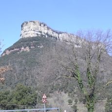
El Far
4 km
Castle of Hostoles
1.7 km
Roques Encantades
3.1 km
Sant Cristòfol de Cogolls
3.2 km
Església de Sant Feliu de Pallerols
3.5 km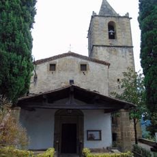
Santa Maria de les Encies
3.1 km
Sant Pere Sacosta
2.1 km
Pont de Sant Feliu de Pallerols
3.5 km
El Jonquer
476 m
Sant Cristòfol
368 m
Can Casas
3.5 km
Sant Sebastià de Sant Feliu de Pallerols
3.4 km
Sant Pelegrí de les Planes d'Hostoles
2.1 km
Escola Pública de les Planes
265 m
Ca la Rosaura
3.5 km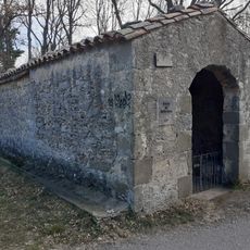
Santa Anna del Grau
3.4 km
Mare de Déu del Roser de Sant Feliu de Pallerols
3.5 km
Molí de la Conqueta
3.5 km
Can Roda
3.5 km
Can Trias
3.4 km
Can Quesi
3.4 km
Pont de Sant Sebastià
3.4 km
Pont de la Torre
1.9 km
L'Àngel
654 m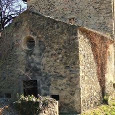
Mare de Déu de Núria
3.8 km
Santa Margarida
1.4 kmReviews
Visited this place? Tap the stars to rate it and share your experience / photos with the community! Try now! You can cancel it anytime.
Discover hidden gems everywhere you go!
From secret cafés to breathtaking viewpoints, skip the crowded tourist spots and find places that match your style. Our app makes it easy with voice search, smart filtering, route optimization, and insider tips from travelers worldwide. Download now for the complete mobile experience.

A unique approach to discovering new places❞
— Le Figaro
All the places worth exploring❞
— France Info
A tailor-made excursion in just a few clicks❞
— 20 Minutes