
Bétera City Council, City Council of Bétera, València
Location: Bétera
Inception: 1370
Website: http://www.betera.es/landing
Website: http://betera.es/landing
GPS coordinates: 39.59222,-0.46250
Latest update: March 6, 2025 09:31

Bofilla
3.2 km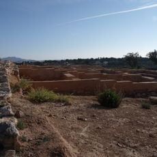
Poblado ibérico amurallado del Tos Pelat
5.1 km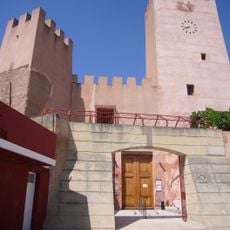
Bétera Castle of the Boil
63 m
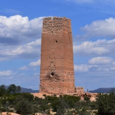
Torre del Virrei
7.2 km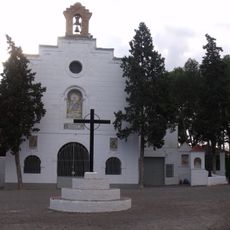
Ermita de la Divina Pastora
504 m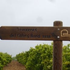
Línia Immediata a València
7.6 km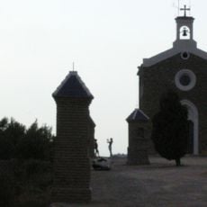
Ermita de Sant Francesc, Nàquera
7.6 km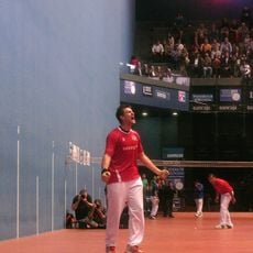
Ciutat de la Pilota
6.3 km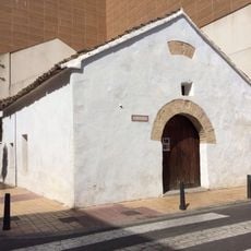
Ermita de San Elías
6.5 km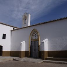
Chapel of Saint Sebastian and Calvary of La Pobla de Vallbona
7.5 km
Our Lady of Carmel church (L'Eliana)
6.4 km
Trinquet de la Pobla de Vallbona
7.3 km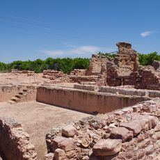
Horta Vella
1.5 km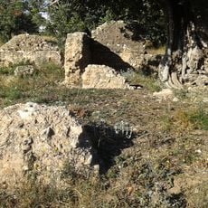
Paretetes dels Moros
7.2 km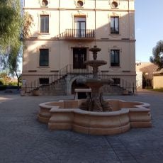
Parque Casa Nebot
475 m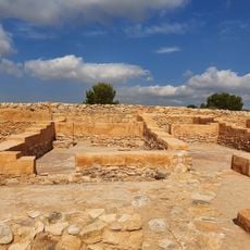
LLoma del Tos Pelat
5.1 km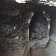
Les Dos Llometes quarry
7.3 km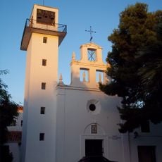
Església parroquial Sant Isidre
6.3 km
Biblioteca Pública Municipal de l'Eliana
6.8 km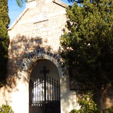
Cemetery and Via Crucis of Massarrojos
7.2 km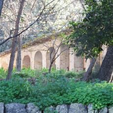
Mas and Riurau del Fondo
5.6 km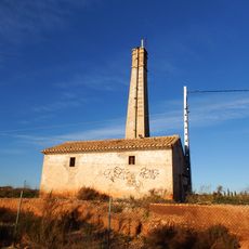
Motor del Baró
7.3 km
Castillo de betera
75 m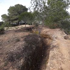
Trincheras de Paterna
5.9 km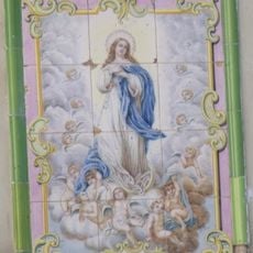
Ceramic panel of the Immaculate Conception
93 m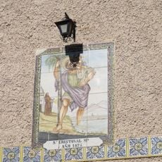
Ceramic panel of Saint Christopher
93 m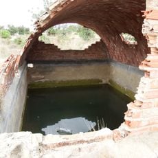
Barranc d'en Dolça water cistern
6.3 km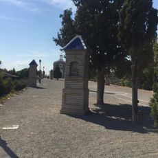
Calvary of the Chapel of Saint Francis of Assisi
7.6 kmReviews
Visited this place? Tap the stars to rate it and share your experience / photos with the community! Try now! You can cancel it anytime.
Discover hidden gems everywhere you go!
From secret cafés to breathtaking viewpoints, skip the crowded tourist spots and find places that match your style. Our app makes it easy with voice search, smart filtering, route optimization, and insider tips from travelers worldwide. Download now for the complete mobile experience.

A unique approach to discovering new places❞
— Le Figaro
All the places worth exploring❞
— France Info
A tailor-made excursion in just a few clicks❞
— 20 Minutes