
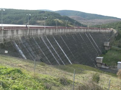
Arlanzón Dam
Location: Villasur de Herreros
Inception: 1933
GPS coordinates: 42.26389,-3.33944
Latest update: March 5, 2025 06:28
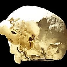
Sima de los Huesos
17.5 km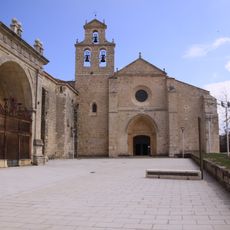
San Juan de Ortega
14.8 km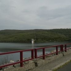
Embalse de Úzquiza
5.1 km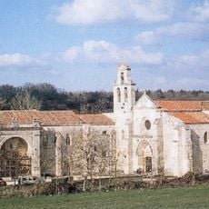
Monastère de San Juan de Ortega
14.8 km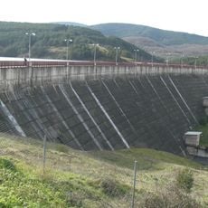
Arlanzón Dam
1.2 km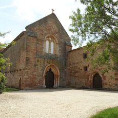
Monastery of Santa María de Bujedo de Juarros
13.3 km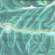
Vía Verde de la Sierra de la Demanda
11.6 km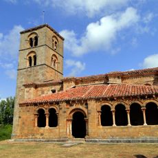
Church of Nuestra Señora de la Asunción, Jaramillo de la Fuente
16.6 km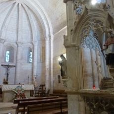
Iglesia de San Nicolás de Bari
14.8 km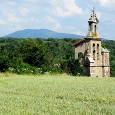
Iglesia de San Lorenzo Mártir
10.1 km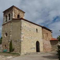
Iglesia de la Asunción de Nuestra Señora
16.7 km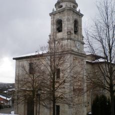
Church of Santiago Apóstol, Villafranca Montes de Oca
14.1 km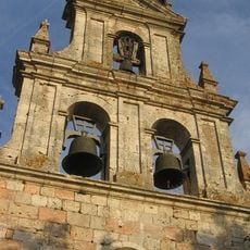
Iglesia de Santa Eulalia Virgen y Mártir
16.4 km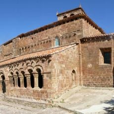
Church of San Sebastián, Pineda de la Sierra
6.3 km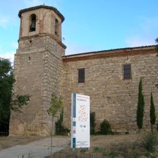
Iglesia de San Esteban Protomártir
17 km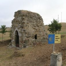
Ermita de San Felices
15.7 km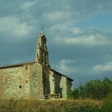
Iglesia de Santa Eugenia Virgen y Mártir
14.5 km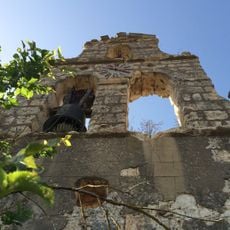
Iglesia de San Juan Bautista
16.5 km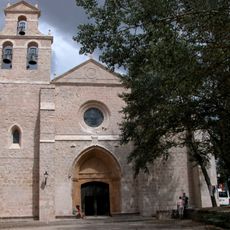
Iglesia de San Nicolás de Bari del Monasterio de San Juan de Ortega)
14.8 km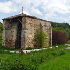
Ermita de Valdefuentes
11.4 km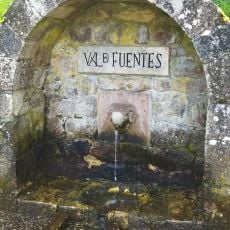
Fuente del carnero
11.4 km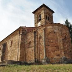
Church of Santa Columba
17 km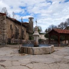
Fuente
16.9 km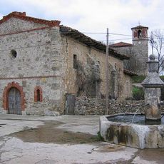
Ermita de San Roque
16.9 km
San Millán
11.5 km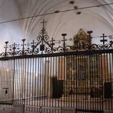
Capilla de San Nicolás
14.8 km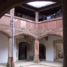
Hospedería
14.9 km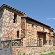
Church of Nuestra Señora de la Asunción
6 kmReviews
Visited this place? Tap the stars to rate it and share your experience / photos with the community! Try now! You can cancel it anytime.
Discover hidden gems everywhere you go!
From secret cafés to breathtaking viewpoints, skip the crowded tourist spots and find places that match your style. Our app makes it easy with voice search, smart filtering, route optimization, and insider tips from travelers worldwide. Download now for the complete mobile experience.

A unique approach to discovering new places❞
— Le Figaro
All the places worth exploring❞
— France Info
A tailor-made excursion in just a few clicks❞
— 20 Minutes