
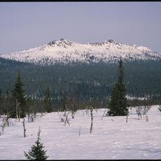
Kemihaara Wilderness Area, wilderness area in Savukoski, Finland
Location: Savukoski
Inception: 1991
Part of: wilderness area
GPS coordinates: 67.93333,28.73333
Latest update: April 2, 2025 04:06
Korvatunturi
29.3 km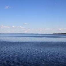
Lokka reservoir
50.6 km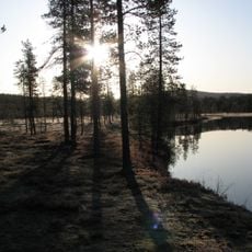
Urho Kekkonen National Park
47.9 km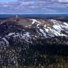
Luosto
118.4 km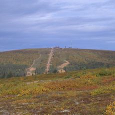
Kaunispää Fell
77.2 km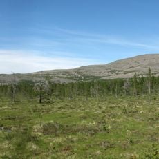
Sokosti
40.3 km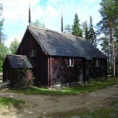
Sodankylä Old Church
107.2 km
Karhunpesäkivi
114.6 km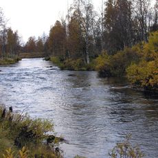
Tuntsa Wilderness Area
47.2 km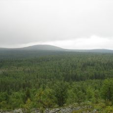
Värriö Strict Nature Reserve
44.2 km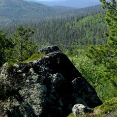
Hammastunturi
107.1 km
Hammastunturi Wilderness Area
108.9 km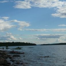
Лапландский лес
94.9 km
Sodankylä Church
107.3 km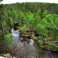
Tsarmitunturi Wilderness Area
87 km
Kaunispää triangulation tower
77.2 km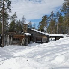
Värriö Subarctic Research Station
42.2 km
Ivalo Church
95 km
Sodankylä Local History Museum
108.2 km
International Placer Goldmining Museum
73.1 km
Viiankiaapa
92.6 km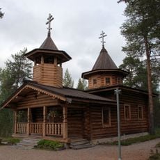
Nellim Orthodox Church
102.8 km
Seitajärventie
60.6 km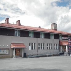
Museum Gallery Alariesto
107.3 km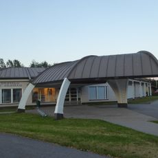
Anára gielddagirjerádju
94.4 km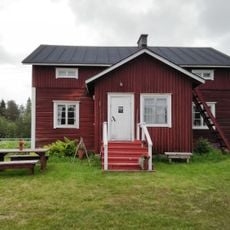
Savukoski Local Heritage Building
75.8 km
Lapinsuu
107.1 km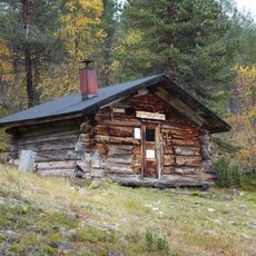
Bothy in Rumakuru wilderness cabins
70.9 kmReviews
Visited this place? Tap the stars to rate it and share your experience / photos with the community! Try now! You can cancel it anytime.
Discover hidden gems everywhere you go!
From secret cafés to breathtaking viewpoints, skip the crowded tourist spots and find places that match your style. Our app makes it easy with voice search, smart filtering, route optimization, and insider tips from travelers worldwide. Download now for the complete mobile experience.

A unique approach to discovering new places❞
— Le Figaro
All the places worth exploring❞
— France Info
A tailor-made excursion in just a few clicks❞
— 20 Minutes