Enable Location

We need your location to show you interesting places around you

Discover nearby places

Find interesting locations and hidden gems around you

Precise directions

Get accurate directions and distances to places

Your location is never shared with other users. It's only used when you tap the location button.

Korvatunturi

Log in to your account

Start exploring — it's free

Trusted by 61,971 travelers worldwide

Continue with Google
Continue with Apple
or

We will send you a code to connect

By continuing, you accept our Terms and Conditions and our Privacy Policy

Check your inbox

We've sent a pincode in your inbox. Please enter the code below.

Korvatunturi

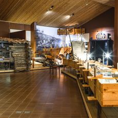
Korvatunturi, Mountain summit at Finnish-Russian border in Savukoski, Finland.

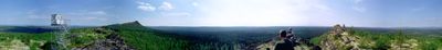
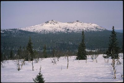
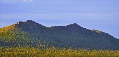
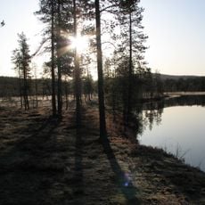
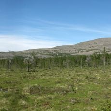
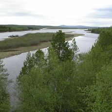
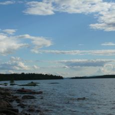
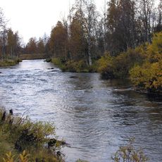
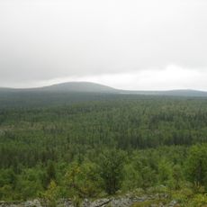
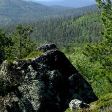
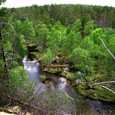
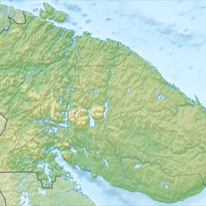
Korvatunturi is a mountain on the Finnish-Russian border in Savukoski with three separate peaks, with the central one marking the boundary between the two countries. The terrain features alpine vegetation and offers views across the border landscape.

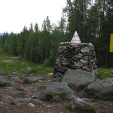
The border region became strategically important after Finland's independence, and the mountain has been under strict protection since then. Access has been controlled by border authorities to safeguard the international boundary.

The mountain became associated with Santa Claus in the 1920s when a Finnish radio broadcaster connected it to the legend. Visitors today often think of this link when hearing the place's name.

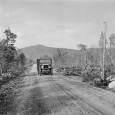
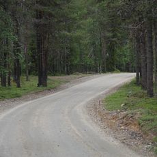
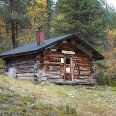
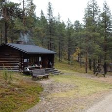
Visitors need written permission from the Finnish Border Guard and should plan three to four days for the hiking expedition. Weather in this region is harsh, so sturdy equipment and good physical preparation are necessary.

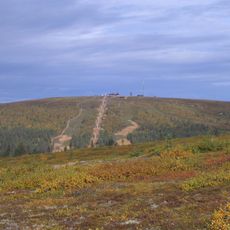
The mountain owes its name to a visual trick: from certain angles, the three peaks form the shape of an ear. This unusual outline is visible from afar on clear days and makes the location unmistakable.

The community of curious travelers

AroundUs brings together thousands of curated places, local tips, and hidden gems, enriched daily by 60,000 contributors worldwide.

Start exploring
Location
Location
Elevation above the sea
486 m
Part of
Finland–Russia border
GPS coordinates
68.07454,29.32677
Latest update
December 7, 2025 10:04
« Korvatunturi - Mountain summit at Finnish-Russian border in Savukoski, Finland » is provided by Around Us (aroundus.com). Images and texts are derived from Wikimedia project under a Creative Commons license. You are allowed to copy, distribute, and modify copies of this page, under the conditions set by the license, as long as this note is clearly visible.

Discover hidden gems everywhere you go!

From secret cafés to breathtaking viewpoints, skip the crowded tourist spots and find places that match your style. Our app makes it easy with voice search, smart filtering, route optimization, and insider tips from travelers worldwide. Download now for the complete mobile experience.

Around Us App Screenshot

A unique approach to discovering new places

Le Figaro

All the places worth exploring

France Info

A tailor-made excursion in just a few clicks

20 Minutes

Around Us
Travel Guide & Maps
Download

Send to your phone

QR Code
1

Open the camera app on your mobile.

2

Point at the QR code with your camera. A notification will appear.

3

Tap the notification to open the link.