
Osmankivi
Location: Leppävirta
Part of: political border
GPS coordinates: 62.41361,27.73889
Latest update: July 12, 2025 16:37
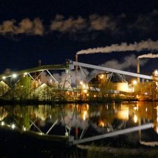
Varkaus Paper Mills
13.4 km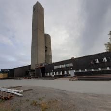
Kotalahti Mine
19.7 km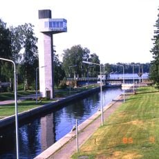
Taipale canal
15.2 km
Vaalijala
32 km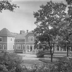
Järvikylä Manor
22.6 km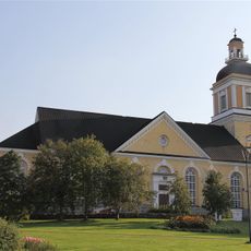
Leppävirta Church
8.9 km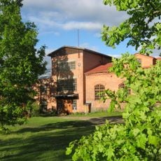
Haapakoski Ironworks
30 km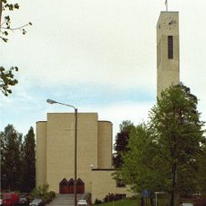
Varkaus Central Church
13.5 km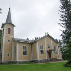
Jäppilä Church
16.3 km
Mechanical Music Museum
14.1 km
Joroisniemi manor
29 km
Savo railway museum
32.1 km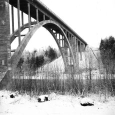
Leppävirta bridge
10.3 km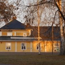
Varkauden Teatteri
12.8 km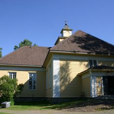
Joroinen church
26.3 km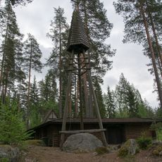
Ristikivi Church
27.7 km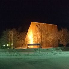
Kangaslampi church
29.5 km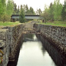
Taipale Museum Canal
15.3 km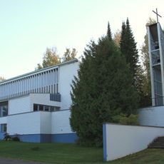
Sorsakoski Church
5.5 km
Art Centre Väinölä
13.6 km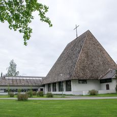
Vaalijala Church
32 km
Nikkilänmäentie
6.4 km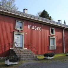
Leppävirta Museum
8.9 km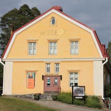
Varkaus Museums
13.6 km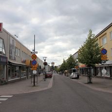
Kauppakatu
13.1 km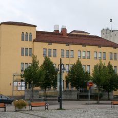
Vanha Raamattutalo
32.4 km
Päiviönsaari center in Varkaus
13.6 km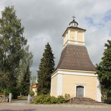
Bell tower of Joroinen church
26.4 kmReviews
Visited this place? Tap the stars to rate it and share your experience / photos with the community! Try now! You can cancel it anytime.
Discover hidden gems everywhere you go!
From secret cafés to breathtaking viewpoints, skip the crowded tourist spots and find places that match your style. Our app makes it easy with voice search, smart filtering, route optimization, and insider tips from travelers worldwide. Download now for the complete mobile experience.

A unique approach to discovering new places❞
— Le Figaro
All the places worth exploring❞
— France Info
A tailor-made excursion in just a few clicks❞
— 20 Minutes