
Raunio, historiallinen ja pronssikautinen hautaröykkiö ja rajamerkki Uudessakaupungissa
Location: Uusikaupunki
Part of: political border
GPS coordinates: 60.73796,21.70354
Latest update: March 23, 2025 18:05
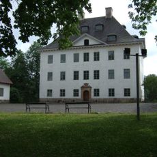
Louhisaari Manor
19.9 km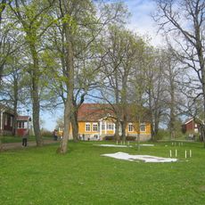
Saari Manor in Mynämäki
14.6 km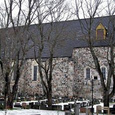
Mynämäki Church
16.9 km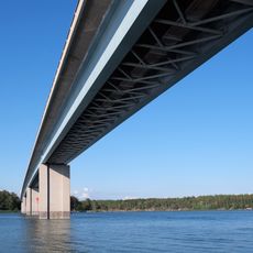
Kaitainen Bridge
23.4 km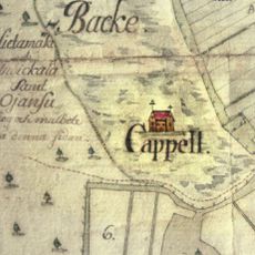
Hietamäki Chapel
12 km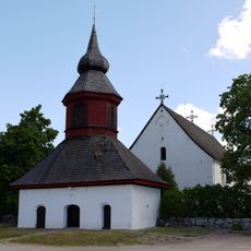
Askainen Church
20.6 km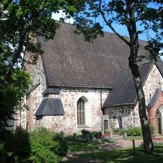
Taivassalo Church
20.1 km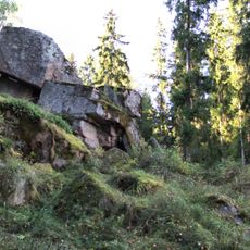
Hautvuori
14.3 km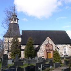
Kalanti Church
11.8 km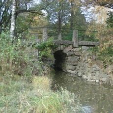
Muntti Bridge
19.1 km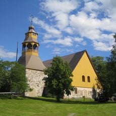
Uusikaupunki Old Church
17.6 km
Askainen Knight Park
20.5 km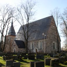
Laitila Church
15.6 km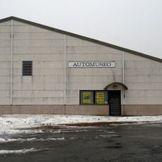
Uusikaupunki Automobile Museum
16.1 km
Uusikaupunki Church
17.5 km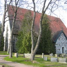
Lemu Church
24.8 km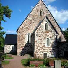
Vehmaa Church
6.5 km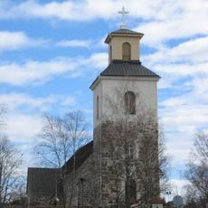
Mietoinen Church
17.1 km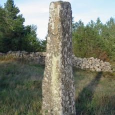
Untamalan kirkko
19.4 km
Männäinen ironworks
12.8 km
Pohitullin palloiluhalli
17.8 km
Lokalahden kirkko
14.4 km
Kustaa Hiekkas lässtuga
15.7 km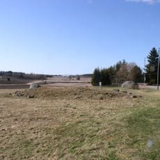
Vainionmäki
12.5 km
Kemppien tupa
24.7 km
Soukainen church
20 km
Untamalan arkeologinen opastuskeskus
19.2 km
Karjalan local history museum
20.9 kmReviews
Visited this place? Tap the stars to rate it and share your experience / photos with the community! Try now! You can cancel it anytime.
Discover hidden gems everywhere you go!
From secret cafés to breathtaking viewpoints, skip the crowded tourist spots and find places that match your style. Our app makes it easy with voice search, smart filtering, route optimization, and insider tips from travelers worldwide. Download now for the complete mobile experience.

A unique approach to discovering new places❞
— Le Figaro
All the places worth exploring❞
— France Info
A tailor-made excursion in just a few clicks❞
— 20 Minutes