
Pannecé, commune in Loire-Atlantique, France
Location: Loire-Atlantique
Location: Arrondissement of Châteaubriant-Ancenis
Elevation above the sea: 46 m
Shares border with: Mésanger, Pouillé-les-Côteaux, Riaillé, Teillé, Vallons-de-l'Erdre
Phone: +33240972107
Email: compa@pannece.fr
Website: http://pannece.fr
GPS coordinates: 47.48611,-1.23944
Latest update: May 28, 2025 12:03
Château de Bourmont
12.3 km
Château de Saint-Mars-la-Jaille
5.5 km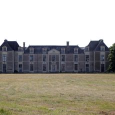
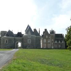
Château de la Guibourgère
4.4 km
Château de la Villejégu
12 km
Manoir de la Petite-Haie
10.3 km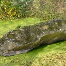
La Pierre Couvretière dolmen
14 km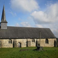
Chapelle du Vieux-Bourg
11.4 km
Bennefraye stone rows
14 km
Manoir de Ghaisne
11.3 km
Moulin de la Quétraye
6.5 km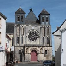
Église Notre-Dame-de-l'Assomption de Riaillé
5.3 km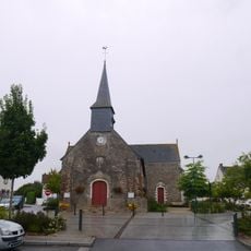
Église Saint-Pierre de Mouzeil
9.2 km
Église Saint-Hermeland de La Rouxière
13.8 km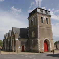
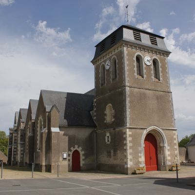
Église Saint-Martin de Pannecé
133 m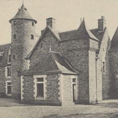
Château de la Barre
10.2 km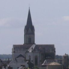
Église Saint-Pierre de Freigné
11.2 km
Église Saint-Médard de Saint-Mars-la-Jaille
5.9 km
Église Saint-Géréon de Saint-Géréon
13.3 km
Église Saint-Pierre de Couffé
11.3 km
Église Saint-Hermeland de Saint-Herblon
13.8 km
Église Saint-Aubin de Pouillé-les-Côteaux
6.9 km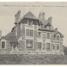
Château de la Provostière
9 km
Château de la Contrie
11.4 km
Chapelle Saint-Michel-des-Bois de La Roche-Blanche
10 km
Chapelle Gauvin
10.8 km
Château du Courdray
11.1 km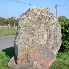
Menhir de la Gréserie
11.3 km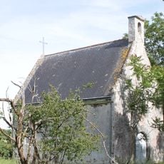
Chapelle du château de la Guibourgère
4.4 kmReviews
Visited this place? Tap the stars to rate it and share your experience / photos with the community! Try now! You can cancel it anytime.
Discover hidden gems everywhere you go!
From secret cafés to breathtaking viewpoints, skip the crowded tourist spots and find places that match your style. Our app makes it easy with voice search, smart filtering, route optimization, and insider tips from travelers worldwide. Download now for the complete mobile experience.

A unique approach to discovering new places❞
— Le Figaro
All the places worth exploring❞
— France Info
A tailor-made excursion in just a few clicks❞
— 20 Minutes