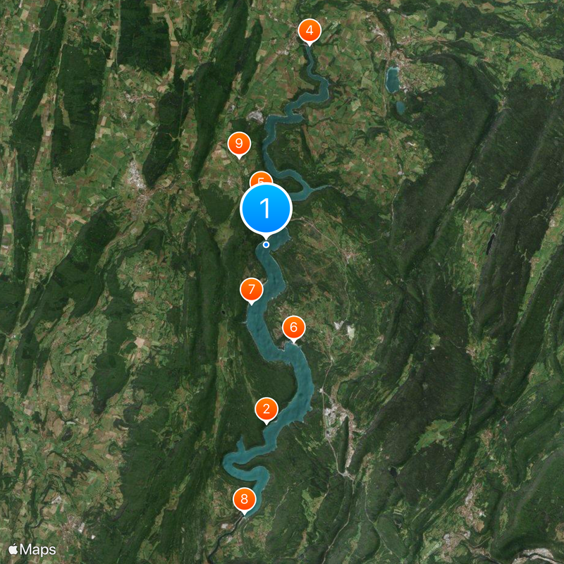
Lac de Vouglans, Reservoir in Boissia, France
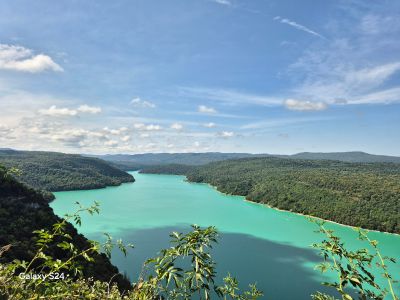
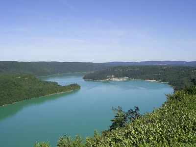
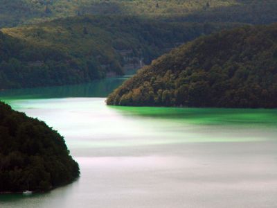
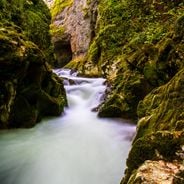
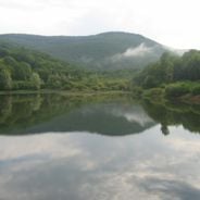
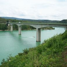
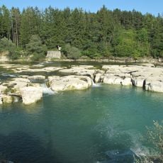
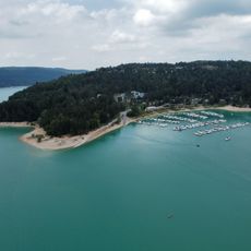
The Lac de Vouglans is a large reservoir in the Jura department, stretching roughly 30 kilometers between forested hills and steep shorelines. The turquoise water fills a narrow valley and forms numerous coves and peninsulas that recall a Norwegian fjord.
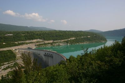
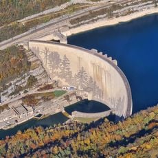
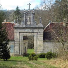
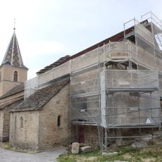
The dam was built between 1963 and 1968 to block the Ain River and generate electricity for the region. Several villages had to be relocated, including the namesake Vouglans and parts of an old Carthusian monastery, whose ruins now rest beneath the water surface.
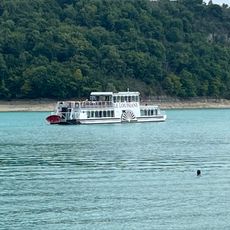
The reservoir keeps the name of the old village of Vouglans, which was submerged during the dam construction and whose memory remains alive in the surrounding communities. Along the shores, locals gather for fishing and picnicking, while summer brings regular festivals with boat parades and water sport events.
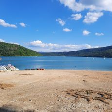
Several beaches such as Bellecin or Mercantine provide access to the water and allow swimming, canoeing or sailing during the summer months. The winding shore road leads to different viewpoints and small harbors where boats can be rented.
On some days, when the water level is low, the outlines of old bridges and foundations emerge that once belonged to the disappeared village. The depth reaches over 100 meters (330 feet) in some spots, making it one of the deepest reservoirs in France.
Location: Orgelet
Elevation above the sea: 430 m
Address: Lac de Vouglans, 39270 Orgelet, France
GPS coordinates: 46.50139,5.67806
Latest update: December 17, 2025 10:46
The Burgundy-Franche-Comté region contains several major lakes of various origins. Lake Saint-Point stretches 6 kilometers in length and ranks as France's second largest natural lake. Lake Vouglans covers 1500 hectares, forming a reservoir along the Ain gorge. The Jura area features ancient natural...
Chartreuse de Vaucluse
7.7 km
Pont de la Pyle
1.6 km
Saut de la Saisse
8.8 km
Le Louisiane
2.1 km
Plage de la Mercantine
4.3 km
Plage de Bellecin
2.6 km
Vouglans
11.6 km
Église Saint-Christophe de Saint-Christophe
3.9 kmChapelle du cimetière désaffecté de Barésia-sur-l'Ain
6.2 km
Église de Poitte
8.4 km
Vierge de Charchilla
5.2 km
Église Saint-Pierre de Charchilla
4.7 km
Église Saint-Martin de Barésia-sur-l'Ain
5.9 kmEnceinte ecclésiale de Maisod
3.6 kmChâteau de La Tour-du-Meix
3.1 kmScenic viewpoint
6 kmLac de Vouglans
10.9 kmBelvédère du Bief Dessous
10.9 kmScenic viewpoint, parking lot
11.7 kmScenic viewpoint
1.2 kmScenic viewpoint
11.7 kmScenic viewpoint
7.4 kmScenic viewpoint
6.7 kmScenic viewpoint
6.9 kmScenic viewpoint
753 mBelvédère du Château Richard
771 mPoint de vue du Pont de la Pyle
1.7 kmVue sur le pont
2.7 kmVisited this place? Tap the stars to rate it and share your experience / photos with the community! Try now! You can cancel it anytime.
Discover hidden gems everywhere you go!
From secret cafés to breathtaking viewpoints, skip the crowded tourist spots and find places that match your style. Our app makes it easy with voice search, smart filtering, route optimization, and insider tips from travelers worldwide. Download now for the complete mobile experience.
A unique approach to discovering new places❞
— Le Figaro
All the places worth exploring❞
— France Info
A tailor-made excursion in just a few clicks❞
— 20 Minutes