Lanester

Log in to your account

AroundUs is a community-driven map of interesting places, built by curious explorers like you. It grows with every review, story, and photo you share.
Connect to save your favorite spots, contribute locations, and create personalized routes.
By continuing, you accept our Terms and Conditions and our Privacy Policy
Add to collection
Map
Suggest a change
Share

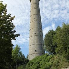
Lanester, Administrative commune in Morbihan, France

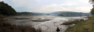
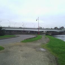
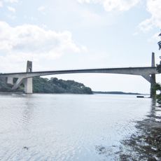
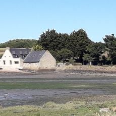
Lanester is a town in Brittany that spreads across both banks of the Scorff River and faces Lorient across the water. The territory features flat coastal land where multiple rivers converge and shape the landscape.

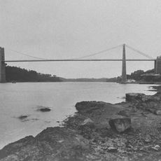
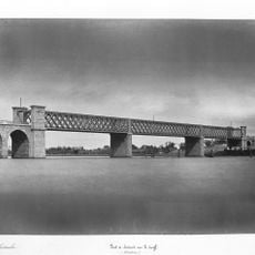
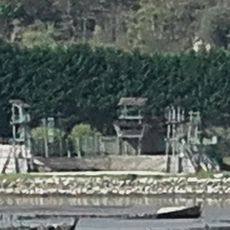
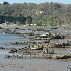
The town was long tied to a neighboring commune until gaining independence in 1909. This split coincided with the growth of shipbuilding along the riverbanks, an industry that shaped the region's development.

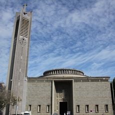
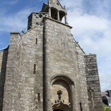
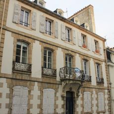
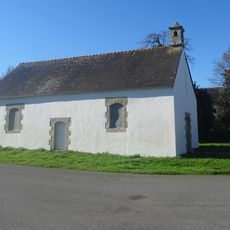
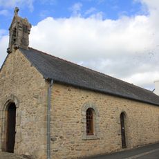
The town maintains connections to Breton traditions through local celebrations and community practices visible in daily life. You will notice bretonische symbols and language woven throughout the area.

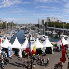
The town center hosts regular markets where residents and visitors find local products and stay connected with the neighboring region. Its position near Lorient makes getting there straightforward and links various forms of transport.

The location sits where two major rivers meet and form natural boundaries that shaped settlement patterns over centuries. This position at the river confluence made the area a hub for shipbuilding and trade.

Location: Morbihan

Location: Lorient Agglomeration

Location: arrondissement of Lorient

Capital city: Lanester

Elevation above the sea: 19 m

Shares border with: Caudan, Hennebont, Kervignac, Lorient

Phone: +33297768181

Email: mairie@ville-lanester.fr

Website: https://lanester.bzh

GPS coordinates: 47.76333,-3.33889

Latest update: December 7, 2025 09:28

Photos
Reviews

Visited this place? Tap the stars to rate it and share your experience / photos with the community! Try now! You can cancel it anytime.

« Lanester - Administrative commune in Morbihan, France » is provided by Around Us (aroundus.com). Images and texts are derived from Wikimedia project under a Creative Commons license. You are allowed to copy, distribute, and modify copies of this page, under the conditions set by the license, as long as this note is clearly visible.

Discover hidden gems everywhere you go!

From secret cafés to breathtaking viewpoints, skip the crowded tourist spots and find places that match your style. Our app makes it easy with voice search, smart filtering, route optimization, and insider tips from travelers worldwide. Download now for the complete mobile experience.

Around Us App Screenshot

A unique approach to discovering new places

Le Figaro

All the places worth exploring

France Info

A tailor-made excursion in just a few clicks

20 Minutes