
Sainte-Hélène, commune in Lozère, France
Location: canton of Le Bleymard
Location: Lozère
Location: Arrondissement of Mende
Elevation above the sea: 900 m
Industry: administration publique générale
Shares border with: Pelouse, Chadenet, Lanuéjols, Badaroux
Phone: +33466476106
Email: mairie.saintehelene@wanadoo.fr
GPS coordinates: 44.51917,3.60278
Latest update: March 10, 2025 19:04
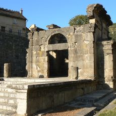
Mausolée de Lanuéjols
3.3 km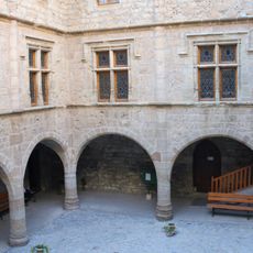
Château du Boy
4.4 km
Le Vallon du Villaret
6.4 km
Château du Villaret
6 km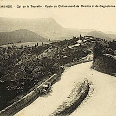
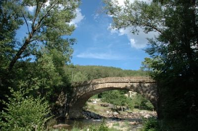
Col de la Tourette
3.3 km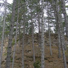
Château de Chapieu
4.7 km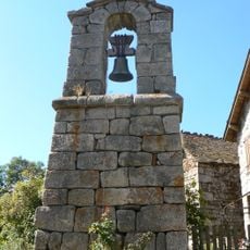
Clocher de tourmente des Sagnes
6.8 km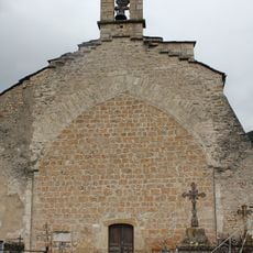
Église Saint-Gervais-et-Saint-Protais de Mende
8.1 km
Arboretum de Born
5.7 km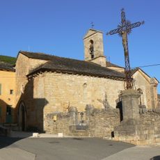
Église Saint-Pierre de Lanuéjols
3.1 km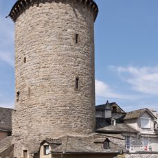
Tour des Pénitents
8.1 km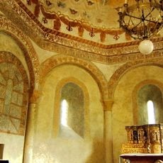
Église Saint-Julien de Saint-Julien-du-Tournel
6.8 km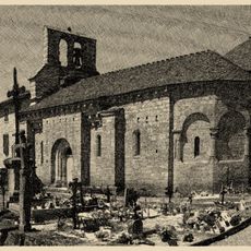
Église Notre-Dame de La Rouvière
3 km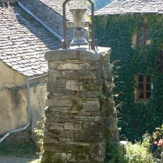
Clocher de tourmente d'Auriac
5 km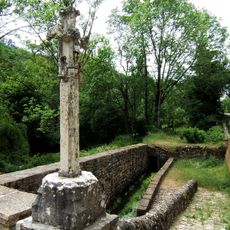
Croix de Vitrolles
2.1 km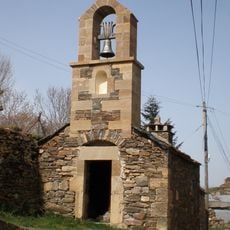
Clocher de tourmente d'Oultet
6.4 km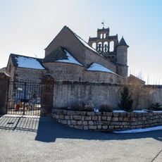
Eglise Saint-Pierre d'Allenc
5.3 km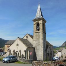
Église Saint-Étienne de Saint-Étienne-du-Valdonnez
7.7 km
Église Saint-Martin de Brenoux
6.8 km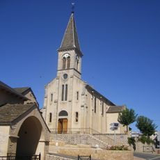
Église Saint-Christophe de Badaroux
4.6 km
Église Saint-Privat de Chadenet
2.5 km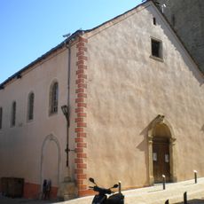
Chapelle des Pénitents Blancs
8.1 km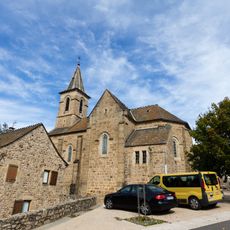
Église Saint-Pierre-de-Vérone de Pelouse
5.5 km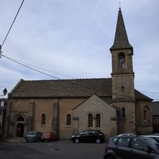
Église Sainte-Énimie de Bagnols-les-Bains
5.1 km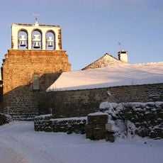
Église de Laubert
7.9 km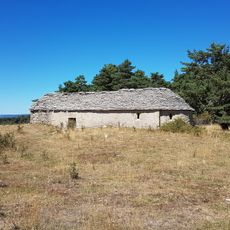
Chapelle Saint-Alban de Saint-Étienne-du-Valdonnez
8.1 km
Lavoir des Calquières
8.1 km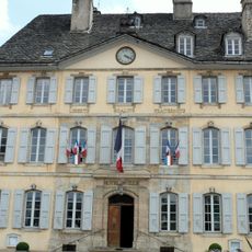
Town hall of Mende
8 kmReviews
Visited this place? Tap the stars to rate it and share your experience / photos with the community! Try now! You can cancel it anytime.
Discover hidden gems everywhere you go!
From secret cafés to breathtaking viewpoints, skip the crowded tourist spots and find places that match your style. Our app makes it easy with voice search, smart filtering, route optimization, and insider tips from travelers worldwide. Download now for the complete mobile experience.

A unique approach to discovering new places❞
— Le Figaro
All the places worth exploring❞
— France Info
A tailor-made excursion in just a few clicks❞
— 20 Minutes