Montluçon

Log in to your account

AroundUs is a community-driven map of interesting places, built by curious explorers like you. It grows with every review, story, and photo you share.
Connect to save your favorite spots, contribute locations, and create personalized routes.
By continuing, you accept our Terms and Conditions and our Privacy Policy
Add to collection
Map
Suggest a change
Share

Montluçon, Medieval commune in Allier, France

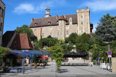
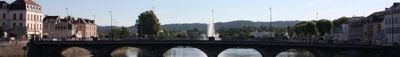
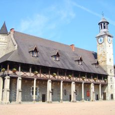
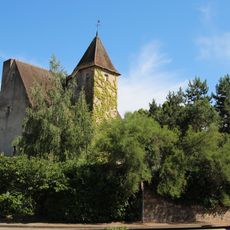
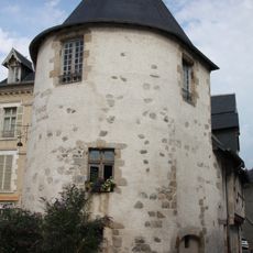
Montluçon is a town in the Allier department of France that stretches along the Cher River and features a castle on a rocky outcrop. The town divides into an upper section with older structures and a lower section with newer quarters, while several bridges connect both sides of the waterway.

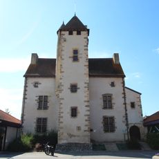
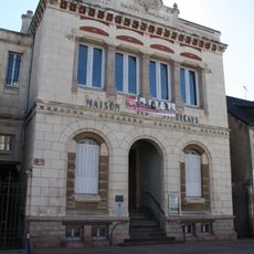
A fortress appeared in the 11th century on a rocky promontory above a bend in the river and gave rise to the settlement. Later periods brought industrial development, especially through rubber and chemical plants, which reshaped the urban landscape.

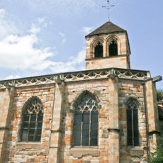
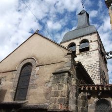
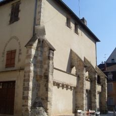
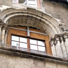
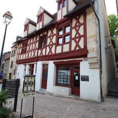
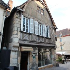
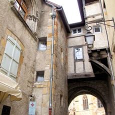
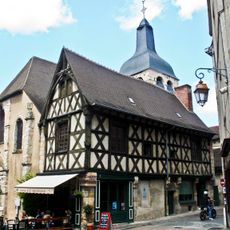
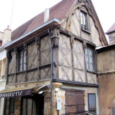
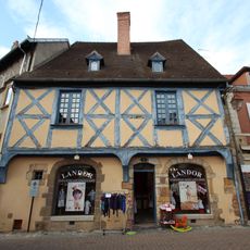
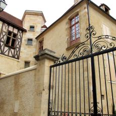
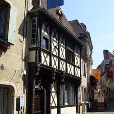
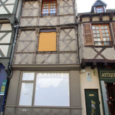
The name likely combines a personal name with the word for hill, referring to the elevated location above the river. Walking through the upper lanes, visitors encounter stone houses with narrow windows that reflect construction methods from centuries past.

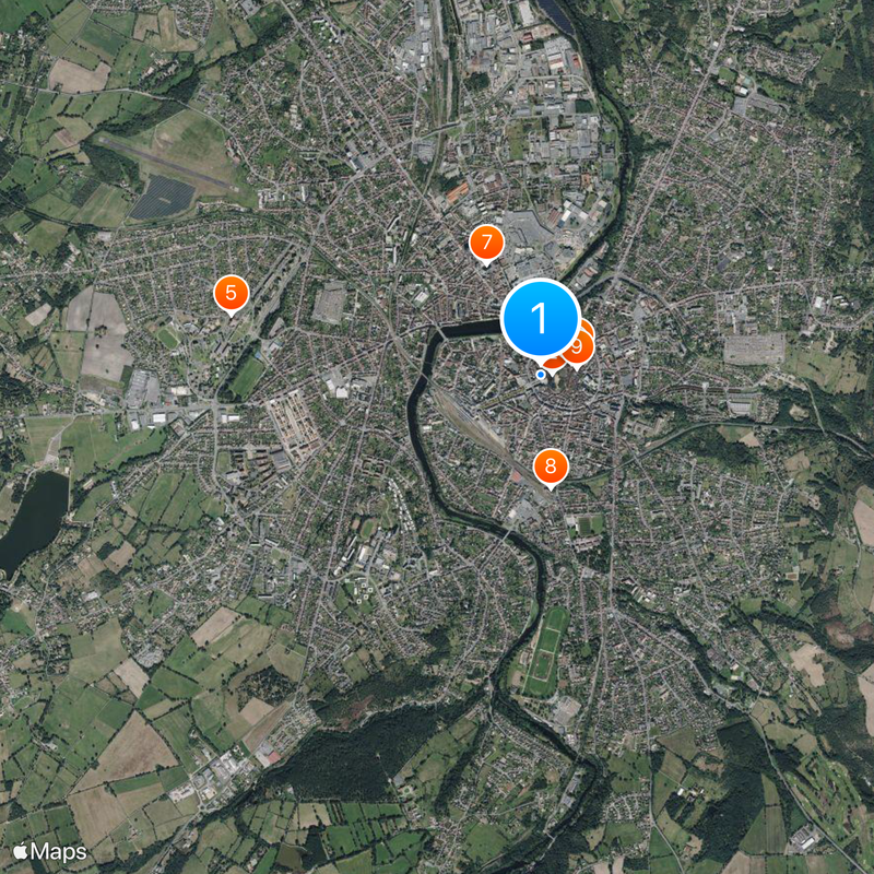
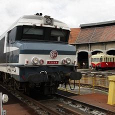
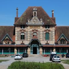
The railway station sits centrally and offers connections to other French cities, while motorways ease arrival from different directions. Visitors orient themselves best by using the river and the castle hill, both visible from many angles.

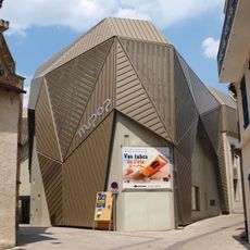
During World War II, a factory drew military attention because of its research into synthetic rubber production. After the war, the site transformed and became a center for electronics and chemical manufacturing that still plays an important role today.

Location: Allier

Location: canton of Domérat-Montluçon-Nord-Ouest

Location: canton of Montluçon-Est

Location: canton of Montluçon-Nord-Est

Location: canton of Montluçon-Ouest

Location: canton of Montluçon-Sud

Location: arrondissement of Montluçon

Elevation above the sea: 233 m

Shares border with: Désertines, Domérat, Lavault-Sainte-Anne, Néris-les-Bains, Prémilhat, Saint-Angel, Saint-Victor

Address: 03100 Montluçon, France

Phone: +33470025500

Email: contact@mairie-montlucon.fr

Website: https://montlucon.com

GPS coordinates: 46.34000,2.60250

Latest update: December 15, 2025 01:39

Photos
Reviews

Visited this place? Tap the stars to rate it and share your experience / photos with the community! Try now! You can cancel it anytime.

« Montluçon - Medieval commune in Allier, France » is provided by Around Us (aroundus.com). Images and texts are derived from Wikimedia project under a Creative Commons license. You are allowed to copy, distribute, and modify copies of this page, under the conditions set by the license, as long as this note is clearly visible.

Discover hidden gems everywhere you go!

From secret cafés to breathtaking viewpoints, skip the crowded tourist spots and find places that match your style. Our app makes it easy with voice search, smart filtering, route optimization, and insider tips from travelers worldwide. Download now for the complete mobile experience.

Around Us App Screenshot

A unique approach to discovering new places

Le Figaro

All the places worth exploring

France Info

A tailor-made excursion in just a few clicks

20 Minutes