Saint-Amand-Montrond

Log in to your account

AroundUs is a community-driven map of interesting places, built by curious explorers like you. It grows with every review, story, and photo you share.
Connect to save your favorite spots, contribute locations, and create personalized routes.
By continuing, you accept our Terms and Conditions and our Privacy Policy
Add to collection
Map
Suggest a change
Share

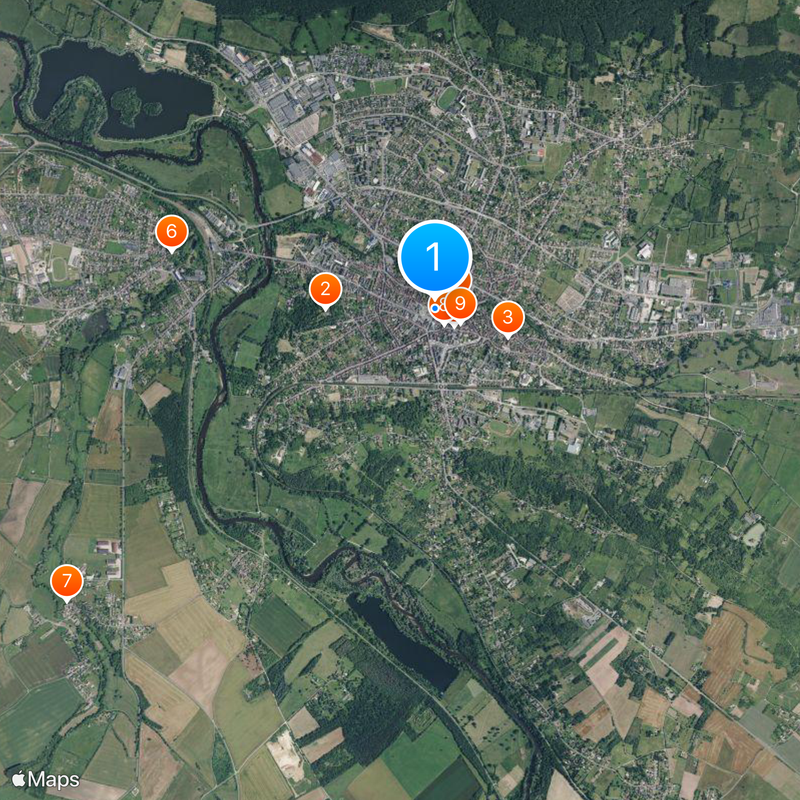
Saint-Amand-Montrond, Medieval commune in Centre-Val de Loire, France

Saint-Amand-Montrond is a commune in the Cher department in the Centre-Val de Loire region, situated along the eastern bank of the river Cher. The town sits at roughly 148 meters elevation between Bourges to the north and Montluçon to the south and forms a road junction in this rural zone.

Three separate settlements merged into a single commune after the French Revolution: Saint-Amand-le-Chastel, Montrond, and Saint-Amand-sous-Montrond. The union took place in 1791 and ended centuries of separation under different lordships.

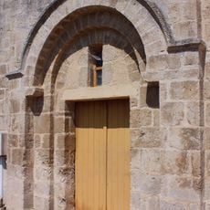
The church takes its name from Saint Amandus, a seventh-century Frankish missionary who traveled through what is now France. The building itself dates from the eleventh century and shows Romanesque forms, while the Château de Montrond on a hill above the town remains visible as a ruin.

A free shuttle service called Pepita connects the different neighborhoods and makes it easier to move around the urban area. Most visitors arrive via the national road between Bourges and Montluçon, which passes through the center.

The town is home to nine specialized goldsmithing firms and a professional jewelry school, which together maintain the tradition of precious metal work. This concentration of specialized businesses makes the place one of the few centers for this craft in the Loire Valley.

Location: Cher

Location: arrondissement of Saint-Amand-Montrond

Elevation above the sea: 176 m

Shares border with: Arpheuilles, Bouzais, Bruère-Allichamps, La Celle, Colombiers, Drevant, Meillant, Orval, Saint-Georges-de-Poisieux, Saint-Pierre-les-Étieux

Address: 18200 Saint-Amand-Montrond, France

Phone: +33248638300

Email: direction.generale.services@ville-saint-amand-montrond.fr

Website: http://ville-saint-amand-montrond.fr

GPS coordinates: 46.72278,2.50500

Latest update: December 5, 2025 16:37

Reviews

Visited this place? Tap the stars to rate it and share your experience / photos with the community! Try now! You can cancel it anytime.

« Saint-Amand-Montrond - Medieval commune in Centre-Val de Loire, France » is provided by Around Us (aroundus.com). Images and texts are derived from Wikimedia project under a Creative Commons license. You are allowed to copy, distribute, and modify copies of this page, under the conditions set by the license, as long as this note is clearly visible.

Discover hidden gems everywhere you go!

From secret cafés to breathtaking viewpoints, skip the crowded tourist spots and find places that match your style. Our app makes it easy with voice search, smart filtering, route optimization, and insider tips from travelers worldwide. Download now for the complete mobile experience.

Around Us App Screenshot

A unique approach to discovering new places

Le Figaro

All the places worth exploring

France Info

A tailor-made excursion in just a few clicks

20 Minutes