Enable Location

We need your location to show you interesting places around you

Discover nearby places

Find interesting locations and hidden gems around you

Precise directions

Get accurate directions and distances to places

Your location is never shared with other users. It's only used when you tap the location button.

Cher

Log in to your account

Start exploring — it's free

Trusted by 63,047 travelers worldwide

Continue with Google
Continue with Apple
or

We will send you a code to connect

By continuing, you accept our Terms and Conditions and our Privacy Policy

Check your inbox

We've sent a pincode in your inbox. Please enter the code below.

Discussion Reviews 2 Photos
106k Popularity

Cher, Administrative division in Centre-Val de Loire, France.

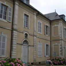
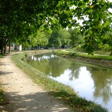
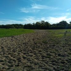
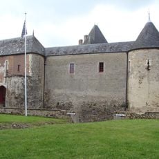
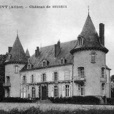
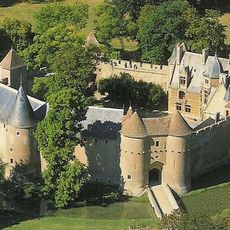
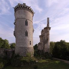
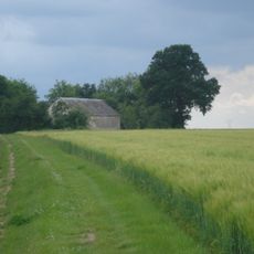
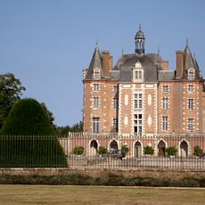
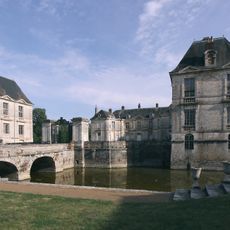
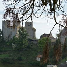
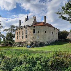
Cher is an administrative division in central France marked by forests, gentle hills, and open fields. The landscape shifts between farmland and small towns that line the riverbanks and main roads.

The area was created in 1790 during the reorganization of France after the Revolution and named after the river flowing through it. Since then, it has remained a fixed administrative division within the Centre-Val de Loire region.

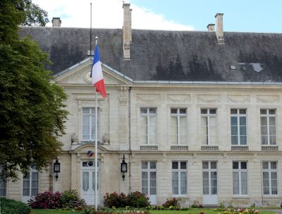
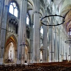
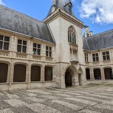
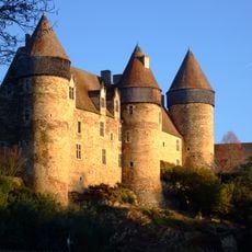
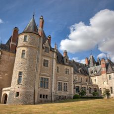
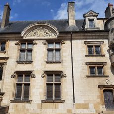
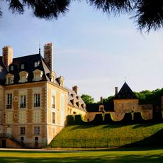
The Saint-Etienne Cathedral in Bourges, the department's capital, represents medieval architecture and stands as a UNESCO World Heritage monument.

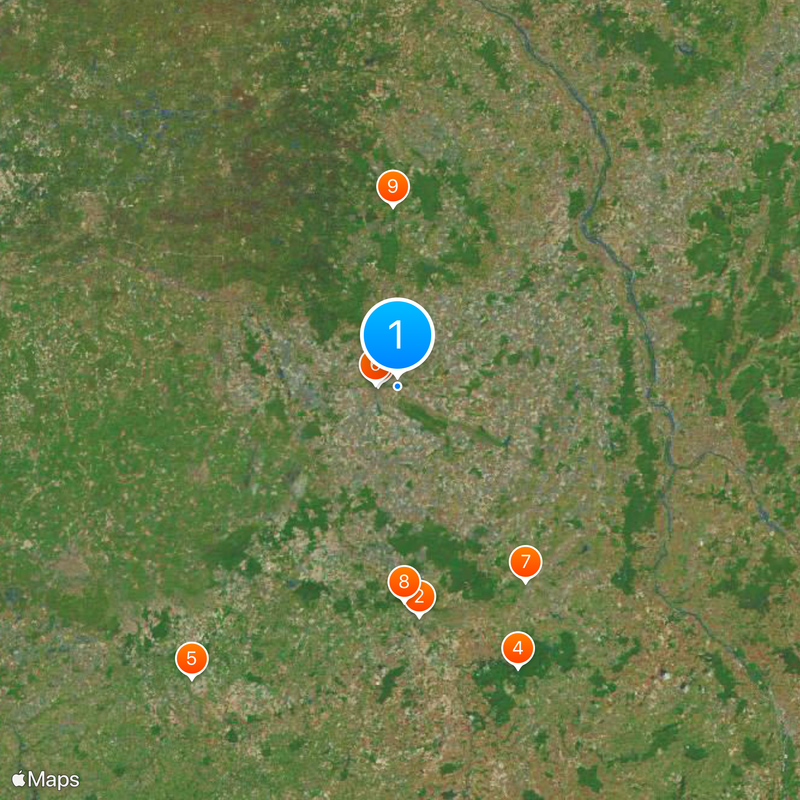
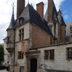
Larger towns such as Bourges, Vierzon, and Saint-Amand-Montrond serve as good starting points for exploring the area. Smaller roads connect the many villages and pass through farming zones.

The name derives directly from the river that flows through the entire territory, crossing it from east to west. This geographic feature still shapes how towns are oriented and structured along its course.

The community of curious travelers

AroundUs brings together thousands of curated places, local tips, and hidden gems, enriched daily by 60,000 contributors worldwide.

Start exploring
Inception
March 4, 1790
Capital city
Bourges
Reference
18
Shares border with
Loir-et-Cher, Loiret, Nièvre, Allier, Creuse, Indre, Yonne
GPS coordinates
47.08111,2.44444
Latest update
December 12, 2025 23:03
Reviews
Share your experience

No review yet

Discussions
Start a discussion...

No discussion yet

« Cher - Administrative division in Centre-Val de Loire, France » is provided by Around Us (aroundus.com). Images and texts are derived from Wikimedia project under a Creative Commons license. You are allowed to copy, distribute, and modify copies of this page, under the conditions set by the license, as long as this note is clearly visible.

Discover hidden gems everywhere you go!

From secret cafés to breathtaking viewpoints, skip the crowded tourist spots and find places that match your style. Our app makes it easy with voice search, smart filtering, route optimization, and insider tips from travelers worldwide. Download now for the complete mobile experience.

Around Us App Screenshot

A unique approach to discovering new places

Le Figaro

All the places worth exploring

France Info

A tailor-made excursion in just a few clicks

20 Minutes

Around Us
Travel Guide & Maps
Download

Send to your phone

QR Code
1

Open the camera app on your mobile.

2

Point at the QR code with your camera. A notification will appear.

3

Tap the notification to open the link.