Enable Location

We need your location to show you interesting places around you

Discover nearby places

Find interesting locations and hidden gems around you

Precise directions

Get accurate directions and distances to places

Your location is never shared with other users. It's only used when you tap the location button.

Guebwiller

Log in to your account

Start exploring — it's free

Trusted by 61,366 travelers worldwide

Continue with Google
Continue with Apple
or

We will send you a code to connect

By continuing, you accept our Terms and Conditions and our Privacy Policy

Check your inbox

We've sent a pincode in your inbox. Please enter the code below.

Guebwiller, Administrative center in Haut-Rhin, France

Description

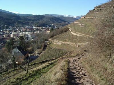
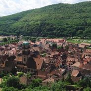
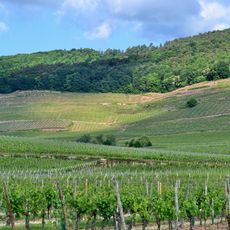
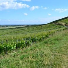
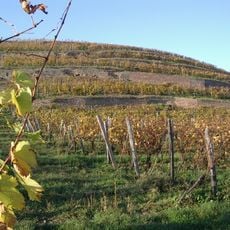
Guebwiller is a town in Haut-Rhin in the Grand Est region of France, situated in a valley surrounded by vineyards and forested hills. It serves as the administrative center for multiple surrounding municipalities in its district.

History

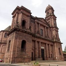
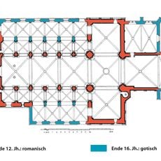
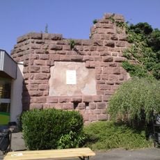
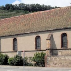
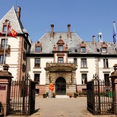
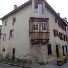
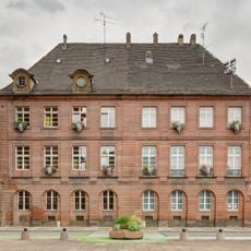
The town has medieval roots and developed as a trade and craft center before becoming an industrial hub during the 19th century. After the 2015 territorial reforms, it was restructured to serve as the administrative hub for surrounding municipalities.

Culture

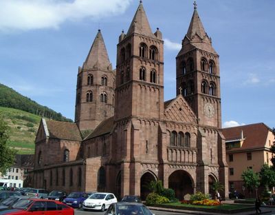
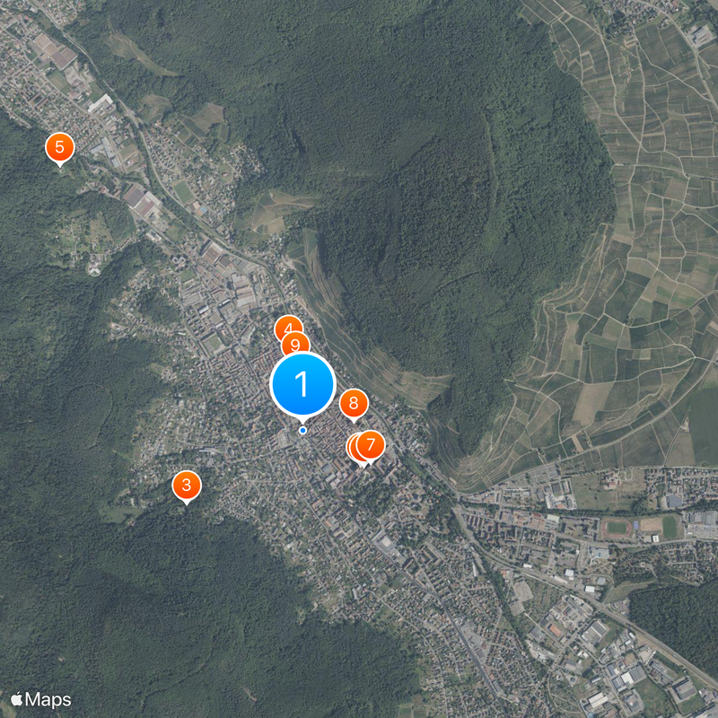
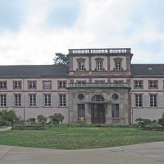
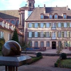
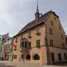
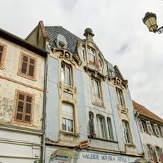
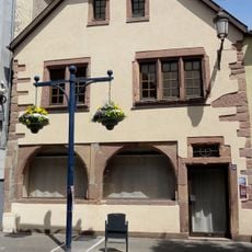
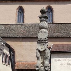
The town displays a mix of French and German influences in how buildings are arranged and decorated throughout its center. You notice this blend especially in the older neighborhoods, where architectural styles reflect centuries of shared cultural presence.

Practical

The town is easily accessible by car or train, with parking available near the center and public transport connections throughout the area. Most administrative services and local amenities are within walking distance of the main hub.

Did you know?

The town uses a distinctive voting system where residents must select two candidates of different genders when electing representatives to the departmental council. This requirement reflects an effort to ensure more balanced representation in local governance.

Location
Communauté de communes de la Région de Guebwiller
Elevation above the sea
371 m
Shares border with
Bergholtz, Issenheim, Soultz-Haut-Rhin, Jungholtz, Rimbach-près-Guebwiller, Buhl, Bergholtzzell
Address
68500 Guebwiller, France
Phone
GPS coordinates
47.90750,7.21028
Latest update
December 20, 2025 13:11

AroundUs brings together thousands of curated places, local tips, and hidden gems, enriched daily by 60,000 contributors worldwide. Discover all places nearby (Communauté de communes de la Région de Guebwiller).

Alsace Wine Route: historic villages, half-timbered houses, medieval architecture

The Alsace Wine Route connects dozens of villages that have preserved their medieval structures. Half-timbered houses from the 16th and 17th centuries line cobblestone streets, while town walls and watchtowers testify to the region's strategic importance. Many villages feature Romanesque churches...

« Guebwiller - Administrative center in Haut-Rhin, France » is provided by Around Us (aroundus.com). Images and texts are derived from Wikimedia project under a Creative Commons license. You are allowed to copy, distribute, and modify copies of this page, under the conditions set by the license, as long as this note is clearly visible.

Discover hidden gems everywhere you go!

From secret cafés to breathtaking viewpoints, skip the crowded tourist spots and find places that match your style. Our app makes it easy with voice search, smart filtering, route optimization, and insider tips from travelers worldwide. Download now for the complete mobile experience.

Around Us App Screenshot

A unique approach to discovering new places

Le Figaro

All the places worth exploring

France Info

A tailor-made excursion in just a few clicks

20 Minutes

Around Us
Travel Guide & Maps
Download

Send to your phone

QR Code
1

Open the camera app on your mobile.

2

Point at the QR code with your camera. A notification will appear.

3

Tap the notification to open the link.